Aqura de Emedio to Las Negras

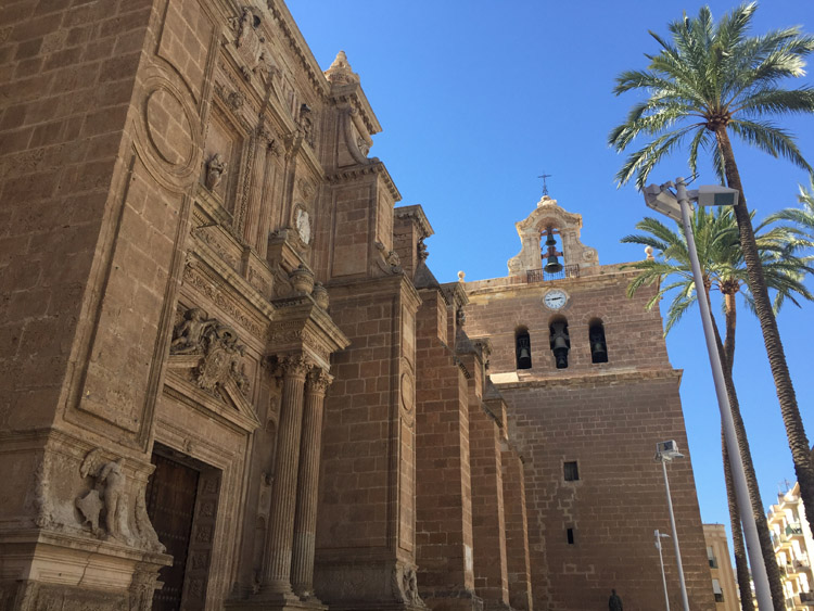
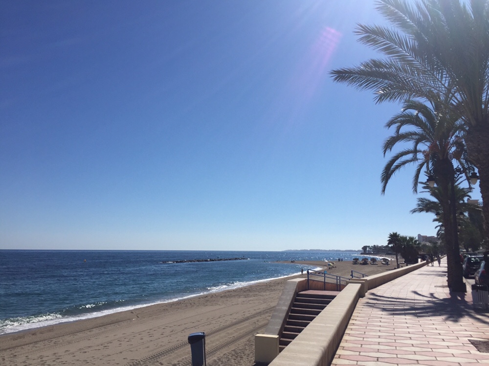
Leaving Aqura de Emedio around 9am whilst the sun was still low in the sky, and there was some cloud cover, meant the temperature was relatively cool. There were some other cyclists on the roads.

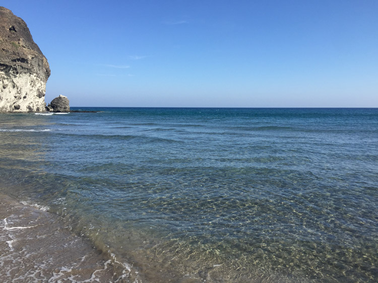
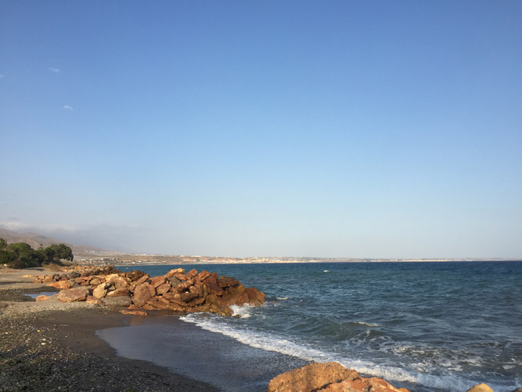
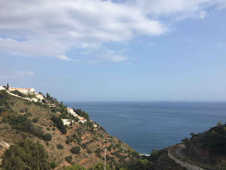
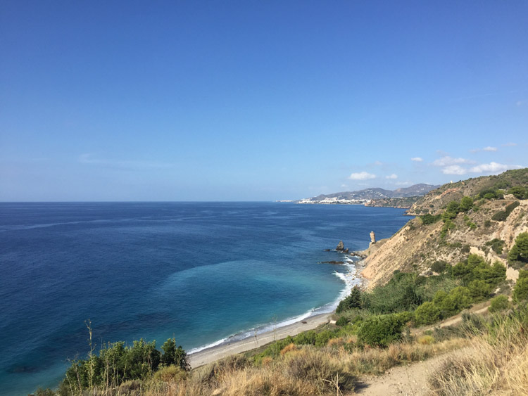
The first stage of the ride consisted of a climb, then after entering the Cabo de Gata national park, a nice winding descent towards the coast near Carboneras with great views. The sand in the area was quite dark as a result of historic volcanic activity.

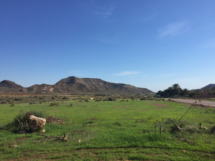
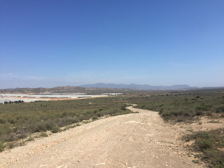
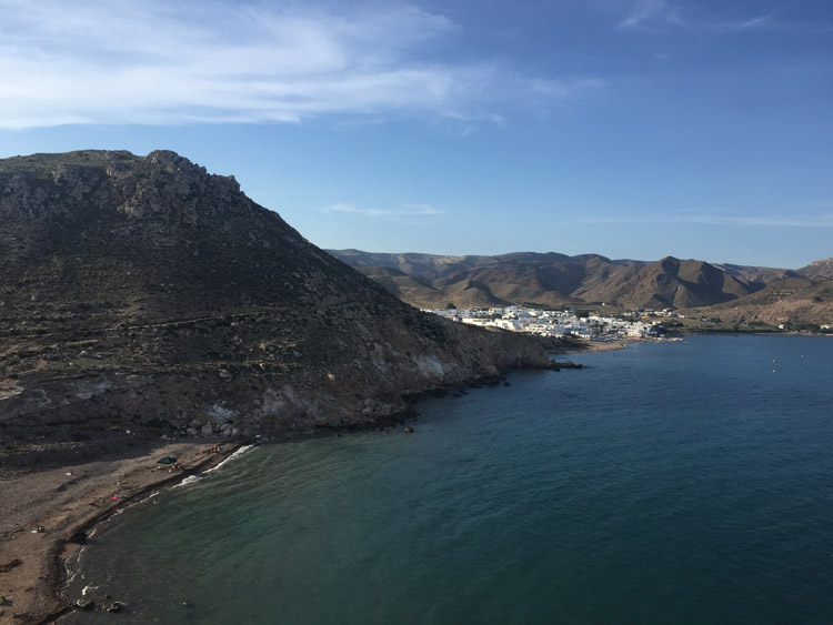
Heading inland, the tyres were sinking in to the sandy ground along the dry riverbed of the Rio Alias, and later there was a puncture from a thorn, which made for slow progress. There was a section on a gravel track then a gradual climb on sealed roads, and eventually a steep descent towards the coast and the campsite near Las Negras. This last section of the ride was also along a dry sandy riverbed.

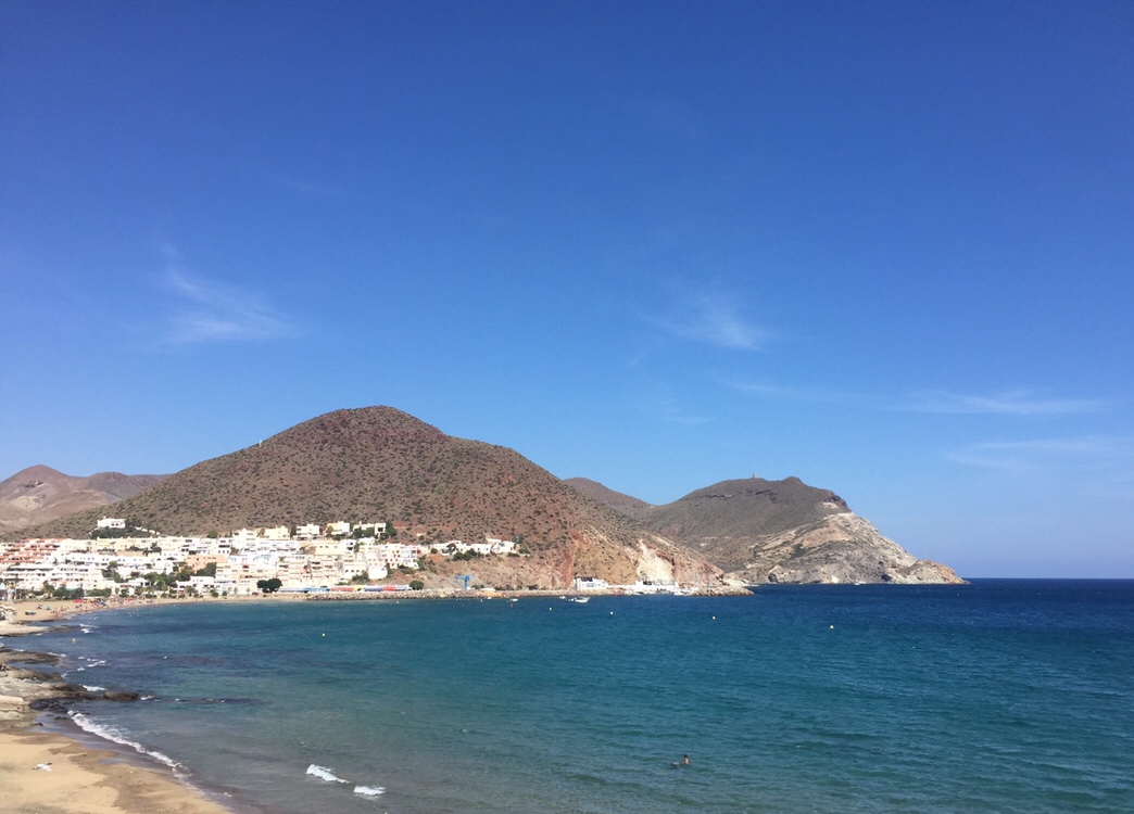
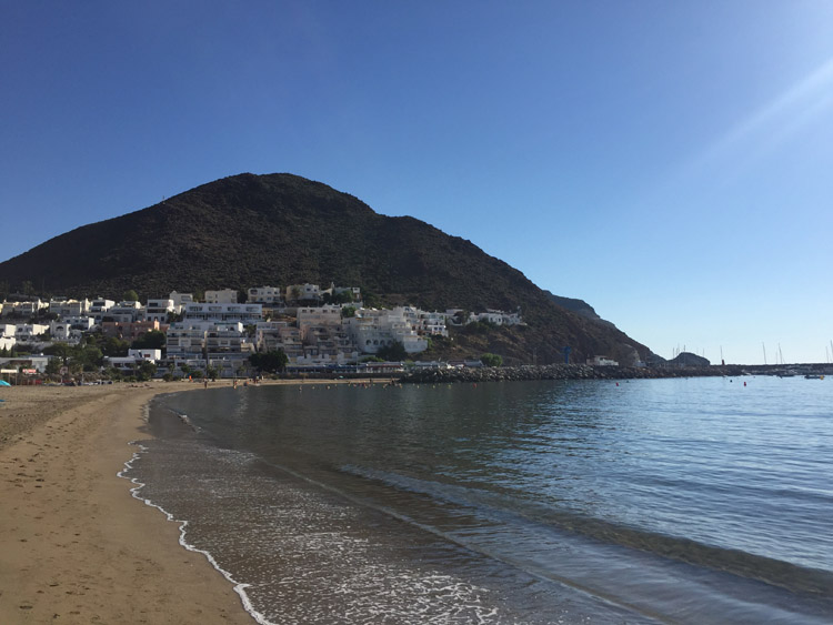
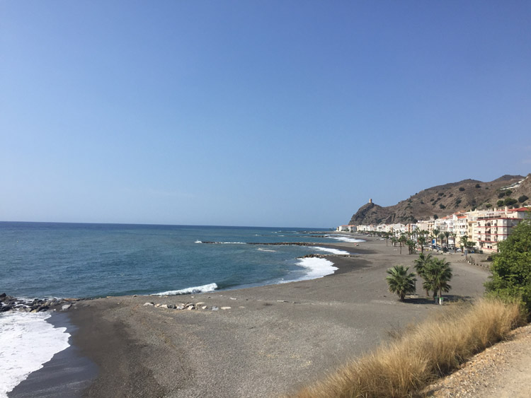
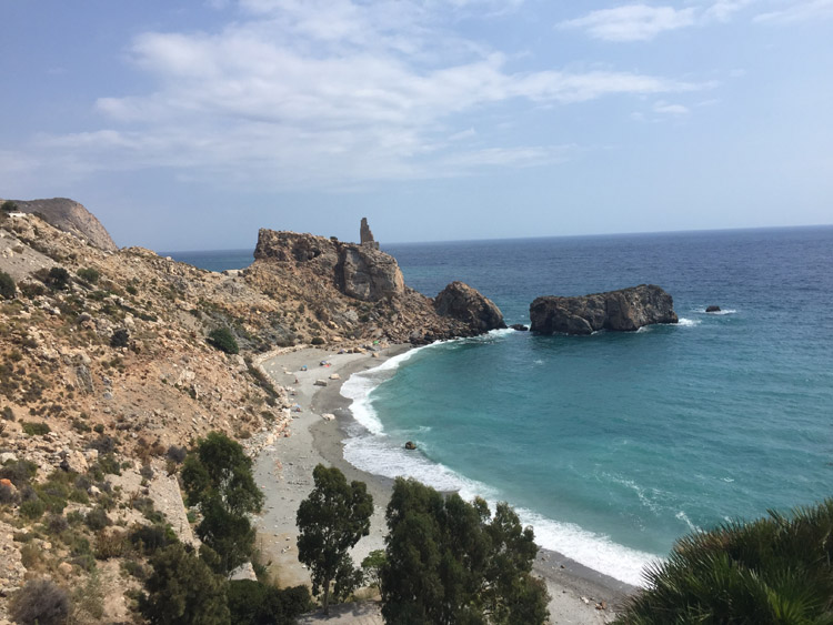
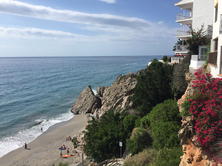
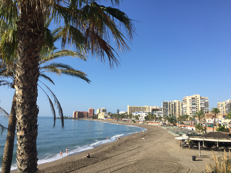
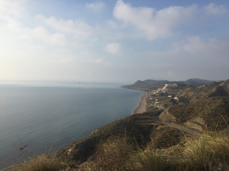
Most of the buildings in Las Negras were painted white and weren’t very high, so the town fitted in to the landscape quite prettily. In the evening I walked along the coast path towards Playa el Playazo, there were some steep cliffs which dramatically dropped in to the sea, where there were people in kayaks enjoying this unspoilt part of the Andalucian coastline.

Distance: 25 miles

Maximum temperature: 28 degrees C

Coast near Carboneras

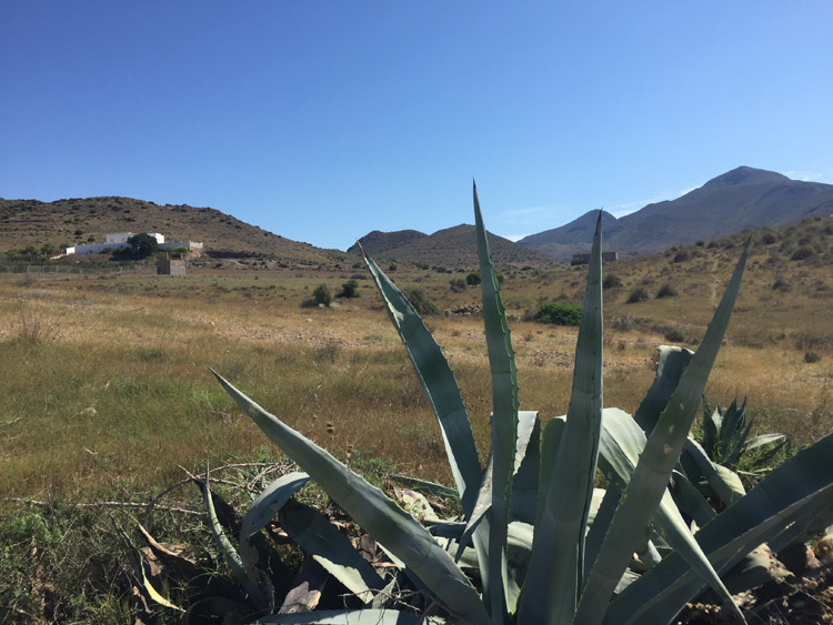
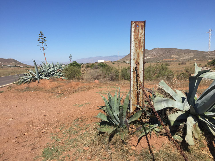
Path near El Llano de Don Antonio
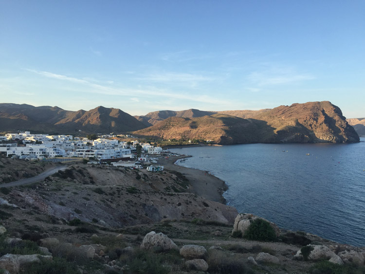
Las Negras

Cabo de Gata National Park

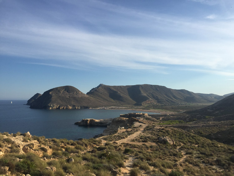
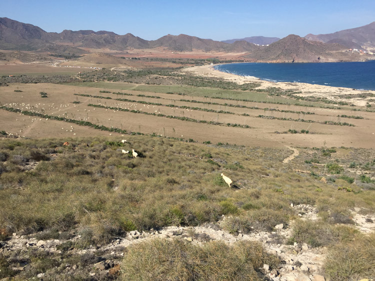
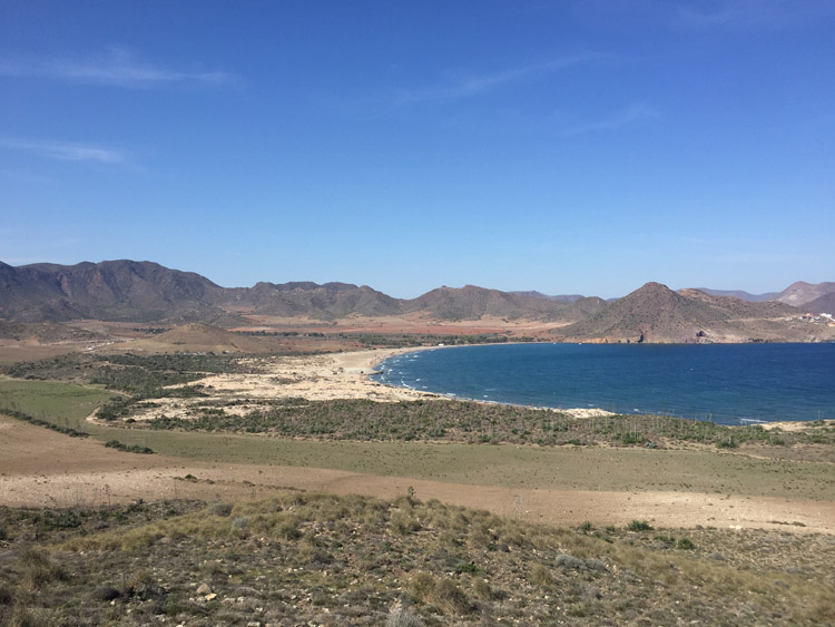
Looking south towards Playa el Playazo

Las Negras to San José

There wasn’t a definite destination planned when I set off from Las Negras, I just decided to head in the direction of Los Escullos then San José, and perhaps further south west.

Still within the Cabo de Gata national park, Los Escullos was a small village with a few hotels and restaurants alongside the long beach.

It wasn’t much further to San José, the largest town in the national park. With it’s white buildings, harbour area and pleasant beach it was instantly likeable and I decided to stop for the lunch there, and booked a room for the evening. Architecturally it was amongst the most stylish of the towns that I had visited in Spain. Perhaps owing to the dry climate, cacti weren’t just a feature of the natural landscape, some residents also grew several varieties in their gardens.

The main beach in the town was nice but busy so I walked firstly to Playa de los Genoveses then to a small beach further along the coast only accessible by walking down a steep rocky path or by boat. It was much quieter than the other beaches and had nice clear water which made swimming there very enjoyable.

Walking back I noticed that the features of the terrain of the national park such as the rugged hills, volcanic looking rocks and the various plant species were quite unique and unlike any other region that I’d visited.

Distance: 14 miles

Maximum temperature: 30 degrees C

Cabo de Gata National Park

Cabo de Gata National Park

San José

Cabo de Gata National Park

Cabo de Gata National Park

Playa de Los Genoveses

San José to Roquetas de Mar

After breakfast in San José, I checked out of the good value hostal just before midday and took the main road north out of the Cabo de Gata National Park.

The solar panel proved to be useful in the strong Andalucian sun for charging my phone for navigation and the tailwind made the ascent out of San José, and much of the journey, feel fairly effortless. Travelling east about 5 miles outside of San José the landscape slowly became redder as it flattened out.

Just outside Almería I heard the sound of some birds in the trees in a park area and saw several noisy green birds which looked like monk parakeets.

The most direct route towards Roquetas de Mar took me thorough the centre of Almería which I knew very little about but stopped to have a look at the Cathedral and the Alcazaba, a Moorish fortress founded in the 10th century.

It wasn’t until taking the N-340a road out of Almería that it’s situation in the desert became so striking with the orange rocks rising up on the right hand side of the road. There were a couple of tunnels. The sun was behind me for most of the day which reduced the effect of the heat but I’d cycled past several illuminated signs saying it was 35 degrees. Looking at the weather on my phone I wasn’t convinced about their accuracy but I was continuing to enjoy the abundance of petrol stations in Spain which sold cold drinks and ice creams, which mitigated the heat.

The last stage of the ride was mostly right next to the sea passing through Aguadulce with a good view of it’s harbour. Once I reached the campsite at Roquetas de Mar it was unsurprising to find the ground was rock hard. I didn’t have a hammer – it would be heavy to transport – and eventually located a rock to hammer in the tent pegs. A neighbour at the campsite kindly lent me a hammer which was a big help.

Distance: 35 miles

Maximum temperature: 31 degrees C

San José

Cabo de Gata National Park

Almería Cathedral

Alcazaba, Almería

Almería

Aguadulce

Aguadulce

Roquetas de Mar to Adra

The main focus of the morning was bike maintenance and fitting new inner tubes, tyres, brakes, brake cables and an additional water bottle holder, which I purchased from a Decathlon store nearby. The new tyres improved the handling of the bike, especially off road.

Luckily the latest checkout time of the campsite was at 5pm rather than the more usual 12pm which gave plenty of time to fit the new parts and pack everything up. I filled up the water bottles with ice and mineral water then at around 2.30pm when I left, the flags of the campsite were pointing in the direction that I was heading – west.

There were plastic covered greenhouses built on much of the landscape that I passed through, and most of the space between the hills and the sea was filled with them. Some new ones were being constructed as I cycled passed, and occasionally there were open water pools, presumably for irrigation. The hills on the right throughout the afternoon were looking more and more like mountains.

In the last stages of the ride, when cycling passed the greenhouses you could feel the heat radiating out them. I stopped at a campsite just east of Adra, which was only a few hundred metres from the sea.

Distance: 26 miles

Maximum temperature: 32 degrees C

Beach near Adra

Adra to La Herradura

The temperature in the morning started off relatively cool, but was quick to rise in the strong sunshine and once I had passed through the busy town of Adra, the route went alongside the coast for most of the day.

The coastal scenery varied from grey isolated beaches to steep cliffs, to beachfront resort towns, where there were some fairly large waves.

I stopped in the middle of the day in Castell de Ferro, for a rest and to get some water and ice, then by the middle of the afternoon the air temperature cooled slightly as the cloud cover increased.

Entering the Granada province, the area of coastline was called the Costa Tropical. The Sierra Nevada mountain range extends to the coast here and the landscape was notably greener. The mountains looked impressive and the highest parts of them were covered in cloud.

The largest single climb was right at the end of the day, with the road winding up out of Almuñécar and then descending in to La Herradura where I was staying at the campsite.

Distance: 56 miles

Maximum temperature: 27 degrees C

Castell de Ferro

Playa La Rijana

La Herradura

La Herradura to Malaga

The journey from La Herradura to Malaga crossed from Costa Tropical to Costa del Sol.

I paid the bill at the campsite and left quite early. There were a couple of steep ascents out of La Herradura to start off the morning, and a tunnel where the acoustics hugely amplified the noise of any traffic in either direction. After the tunnel I was overtaken by a couple of German cyclists with panniers, and one later informed me that they had cycled there from Germany in about 22 days. Compared to France it was rare to see any other cyclists with luggage so it was interesting to chat with them.

The cliffside coast road provided nice views towards Nerja, where I diverted to have a look at the town and the steeply sloping seafront area. The town was quite characterful with white traditional style buildings overlooking the sea and narrow old style shopping streets.

As I got closer to Malaga the terrain flattened out with much more development along the coast, including some new construction occurring in the town of Los Llanos where I stopped at the bakery for lunch.

The route then headed inland near Rincón de la Victoria, up a steep path and then dropped down in to a town called Jarazmín on the outskirts of Malaga on the other side of the dry riverbed. The scale of the city started to become apparent as I was cycling alongside the beaches and the city was on my right, it stretched for miles before I reached the city centre.

After checking in to the apartment where I was staying I visited the old part of the city with the Cathedral, Alcazaba and Roman Amphitheatre. There was a small protest about AirBnB near the Roman Amphitheatre. I then walked down through the gardens to the port area with the Pompidou centre and the Muelle Uno shopping area. Unfortunately I didn’t have time to visit any of the cities museums but found that Malaga had some similar elements to Cartagena but was much bigger and there were fewer signs of dilapidation around.

Distance: 45 miles

Maximum temperature: 28 degrees C

Costa Tropical looking towards Nerja

El Acueducto del Águila

Nerja

Malaga

Roman Amphitheatre and Alcazaba, Malaga

Cathedral, Malaga

Malaga to Benálmadena

It was only a short ride southwest out of Malaga to Benalmádena. The route went via the bus station, train station and airport in order to make enquiries about travel arrangements back to the U.K.

It wasn’t until reaching the coast that there was a segregated path to use, which ran along the seafront and made the cycling more relaxing and enjoyable.

The coast immediately southeast of the airport had a pleasant beach without being very built up.

Further southwest there were many hotels, shops, bars and restaurants in the Torremolinos area, the sun was out and it was a nice temperature but there were some fairly big waves hitting the shore. I was expecting a lot of development along this stretch of coastline but it didn’t seem as dense and high rise as parts that I’d seen further north along the Costa Blanca.

Next was Benalmádena where I had booked to stay for the night. There was a nice harbour area then a palm tree lined beach which was a nice place to spend the evening as the sun was setting.

Distance: 15 miles

Maximum temperature: 24 degrees C

Torremolinos, Costa del Sol

Benalmádena, Costa del Sol

Benalmádena, Costa del Sol

Benalmádena, Costa del Sol

Torremolinos, Costa del Sol

Costa del Sol