Nantes is the 6th largest city in France and was once it’s largest port. I spent the first part of the morning viewing the Chateau des ducs de Bretagne, Cathedral of St Peter and St Paul, and the Botanical garden in Nantes, and having a quick look at the quirky shops, bars and restaurants of the old town area, enjoyed the 18th century facades, and then departed towards the Atlantic coast.
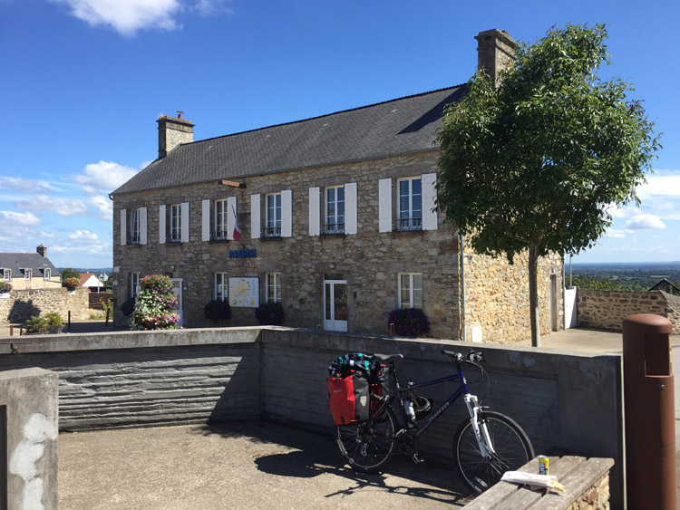
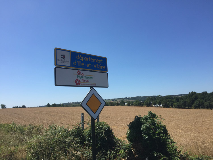
Outside of Nantes, and now on the sunnier side of the Loire, there was a change in the architectural style of the housing compared to Brittany, most obviously in the roof style which was now terracotta coloured rather than the dark grey roofs I saw in Brittany.
Although now in the Pays de La Loire region there were still signs of Breton heritage around, with Nantes previously being Brittany’s old capital.
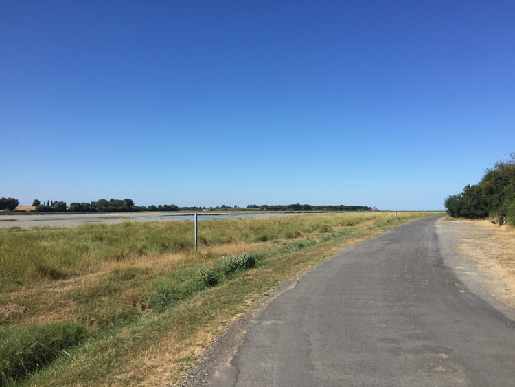
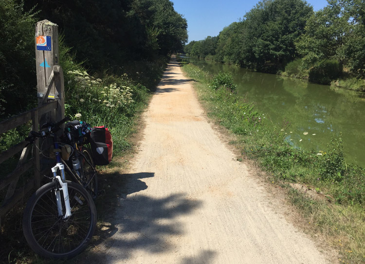
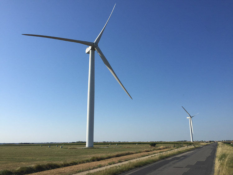
The cycling infrastructure getting out of Nantes was as good as the way in, but later on relying on the sat nav took me along a busy main road with what seemed to be traffic heading to the coast, ie campervans with bikes mounted on the back and cars piled with things. This queue later became fast moving and the segregated cycle lane had already disappeared. I diverted to much quieter roads, some of which were simply unpaved / gravel tracks, and there were many slowly rotating wind turbines dotted amongst the fields.
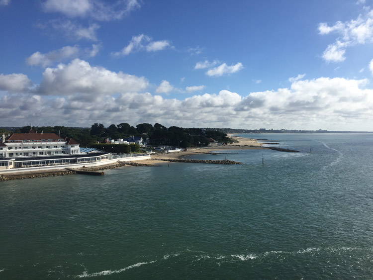
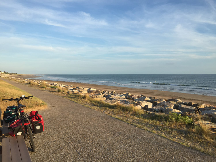
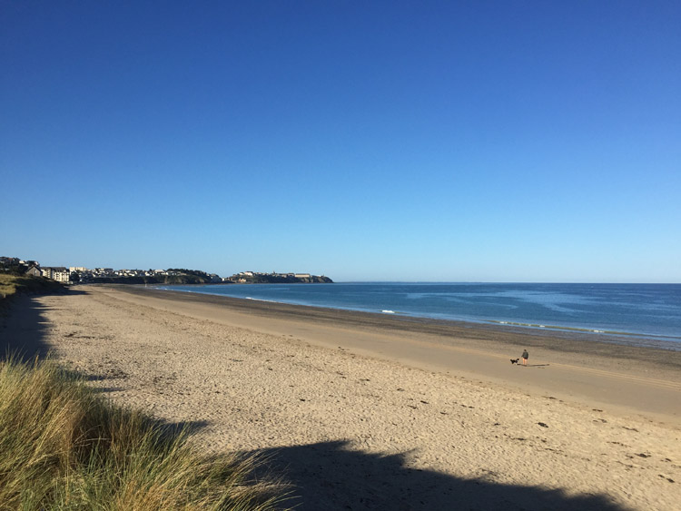
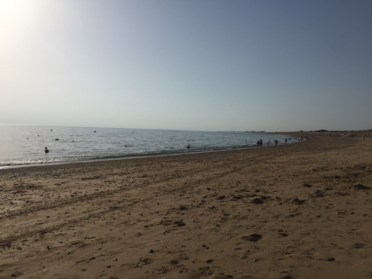
Seeing the coastline when I reached the Atlantic coast was exciting as it meant the route from now on would follow the Eurovelo 1 down the west coast.
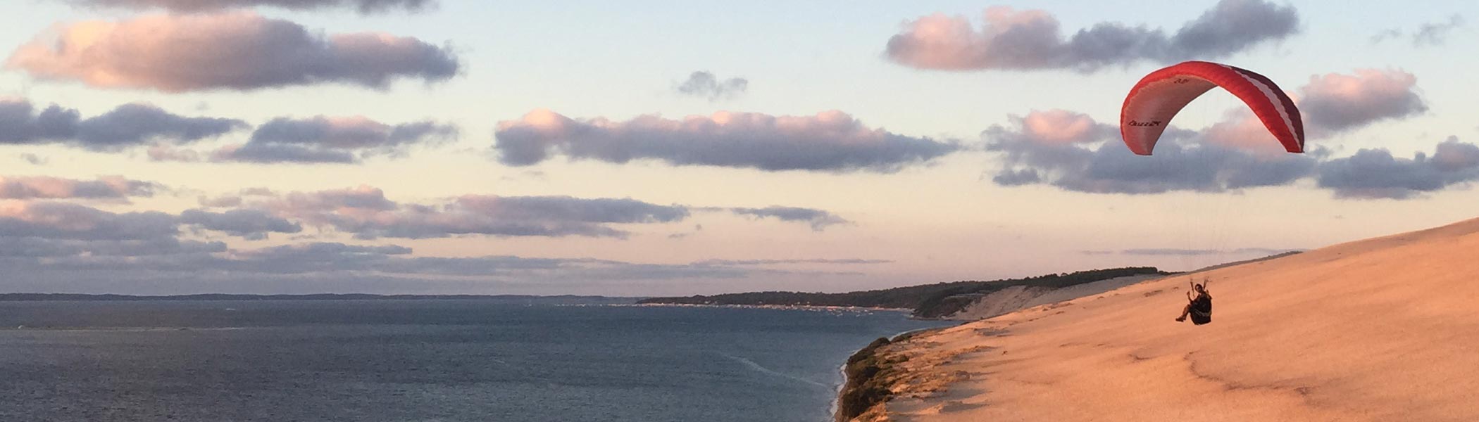
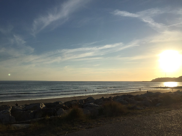
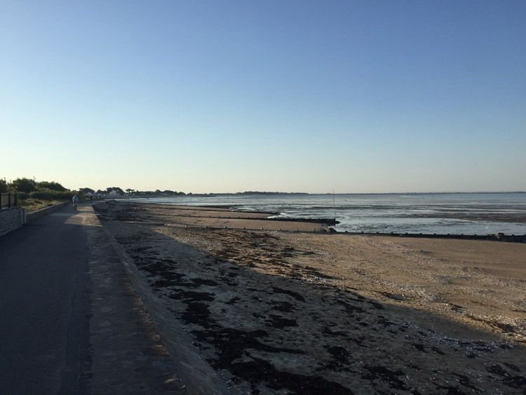
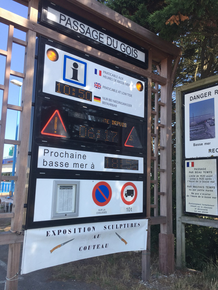
During the evening I visited a restaurant in the main village, rehydrated and then watched the tide come in and the sun set over the Atlantic – to my surprise it was quite far out when I had arrived earlier in the day.
Distance: 30 miles
Maximum temperature: 33 degrees C
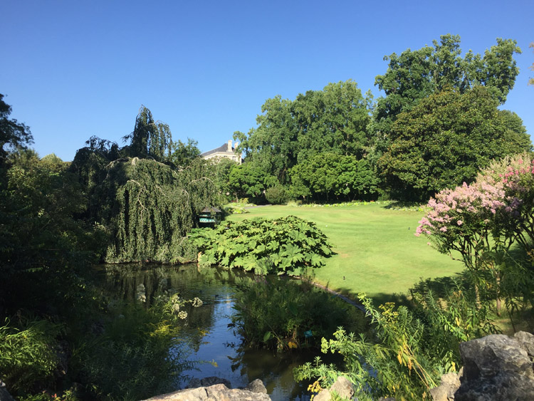
Nantes Botanical Gardens
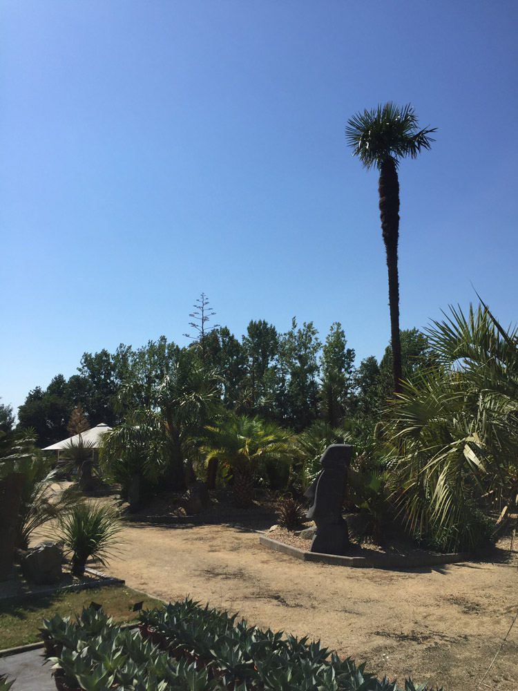
Slightly unusual garden centre between Nantes and the coast
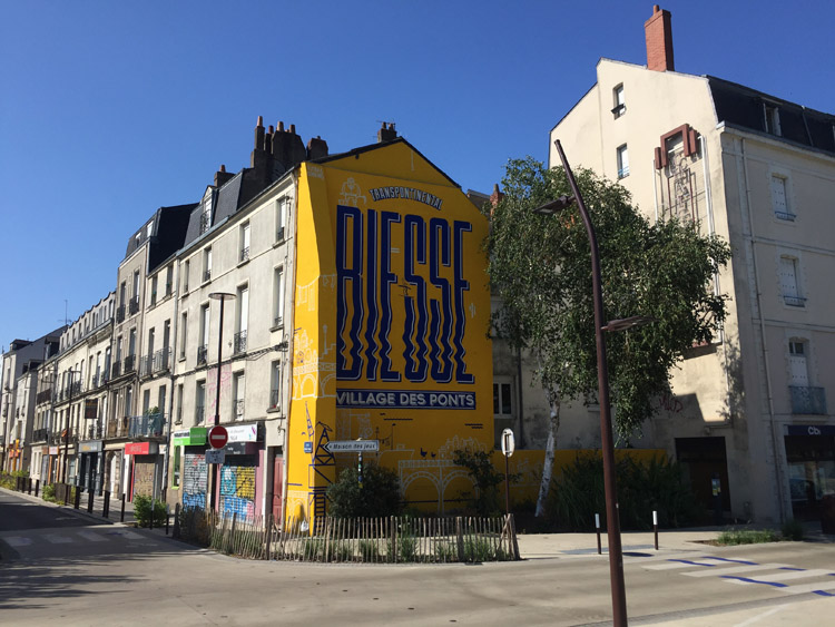
Nantes street
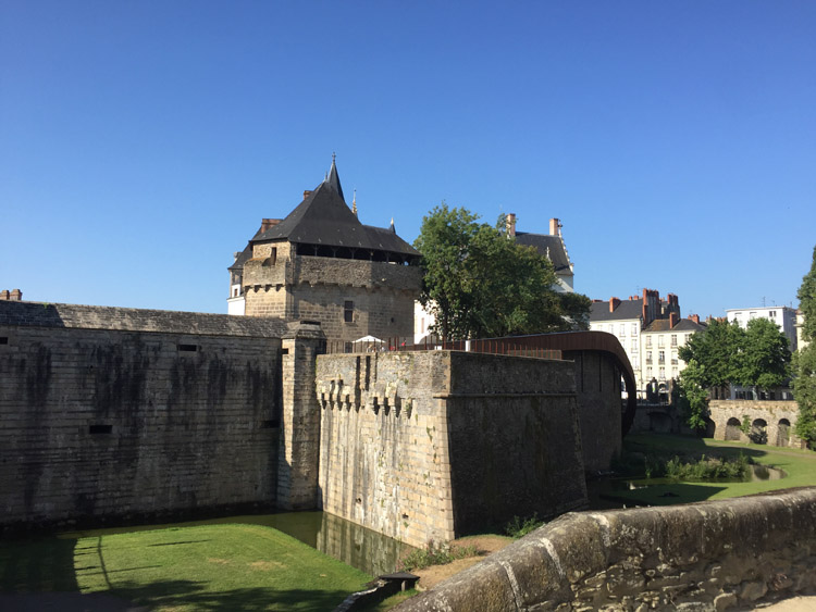
Chateau des ducs de Bretagne
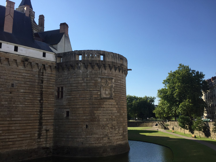
Chateau des ducs de Bretagne
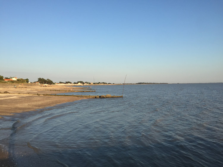
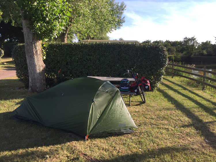
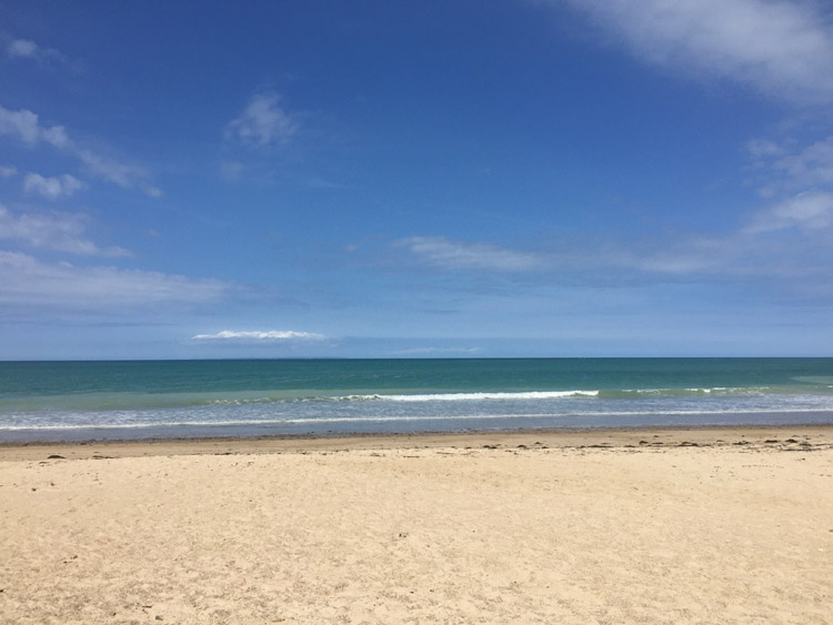
Beach adjacent to campsite at Les Moitiers-en-Retz
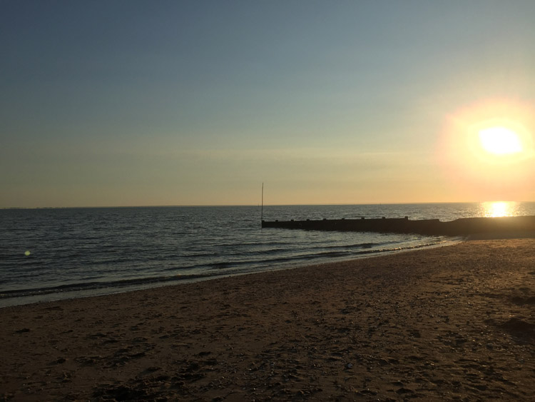
Sunset over the Atlantic Coast