Toulouse to Carcassonne

Decided to cycle from Rebastens-de-Bigorre to Tournay, and take the train from there to Toulouse where I spent the night.

Toulouse is the fourth largest city in France and the biggest city that I’d visited so far on the trip. The distinctive, intricately decorated red brick buildings and wide open spaces in the centre gave it quite a different feeling to the other French cities that I’d seen.

It made a nice overnight stop on the way to Carcassonne and had an afternoon boat trip on the Garonne river, and the old parts of the city were interesting to look around. The tourist information office provided a useful map of the Canal du Midi.

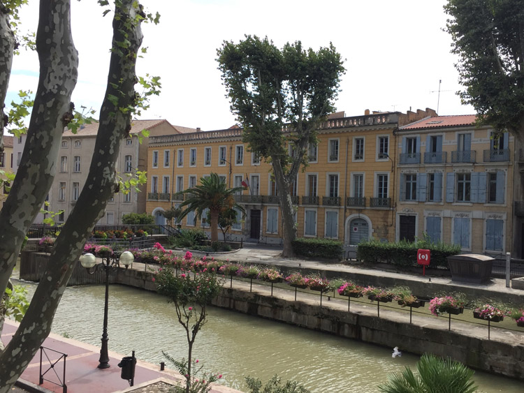
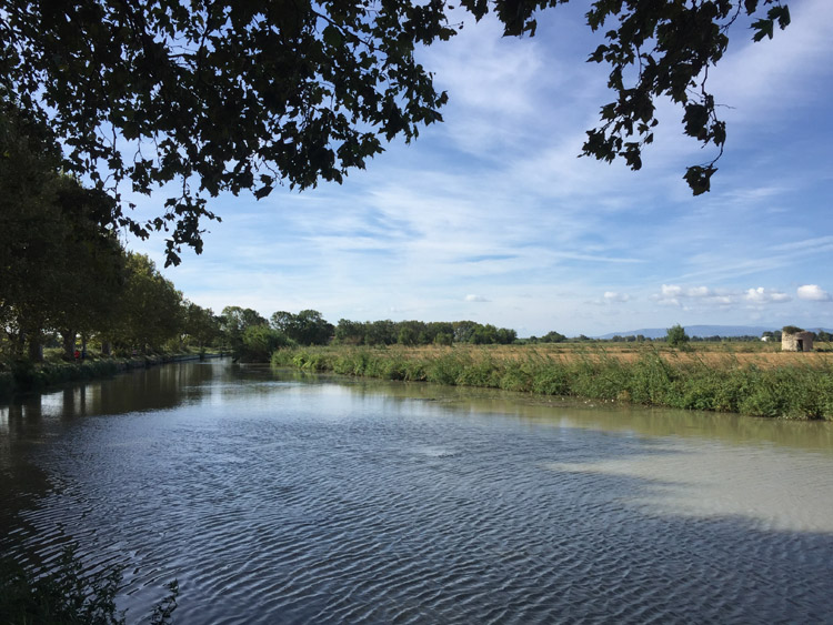
Early the following morning, after a Torsade pastry, I cycled to the Canal du Midi which had a good cycle path adjacent to it and it was easy to follow in a southeasterly direction out of the city. Within the city and surrounding area it was fairly busy with commuters, and after about 7 miles the landscape around the canal changed to open fields, where the path would become less busy.

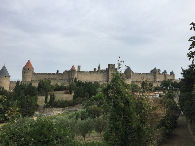
The tailwind from the west increased throughout the morning. As I approached Carcassonne the canal path narrowed and I used some small, more direct roads instead. Some of these passed right next to vineyards. Once I’d checked in to the campsite which was fairly close to the walled city, I had a look around that and the main city area, both of which were very pleasant. Carcassonne is the largest walled city in Europe, among those that still have their defensive walls intact.

Distance: 64 miles

Maximum temperature: 27 degrees C
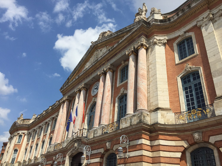
Place du Capitole, Toulouse
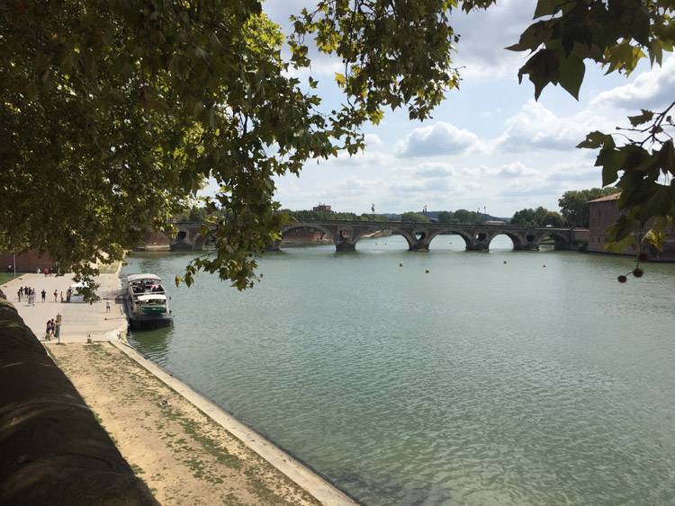
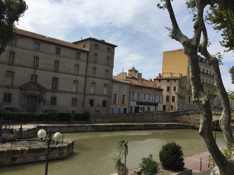
Le Pont Neuf, Toulouse
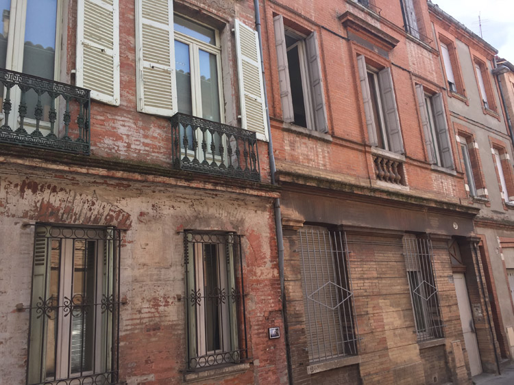
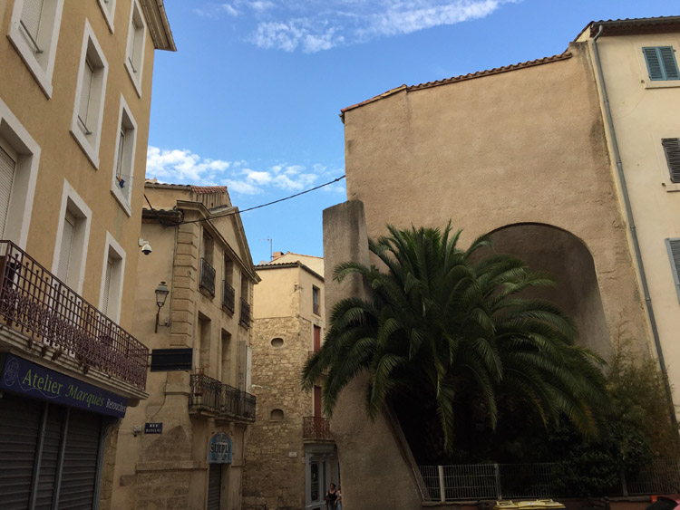
Toulouse
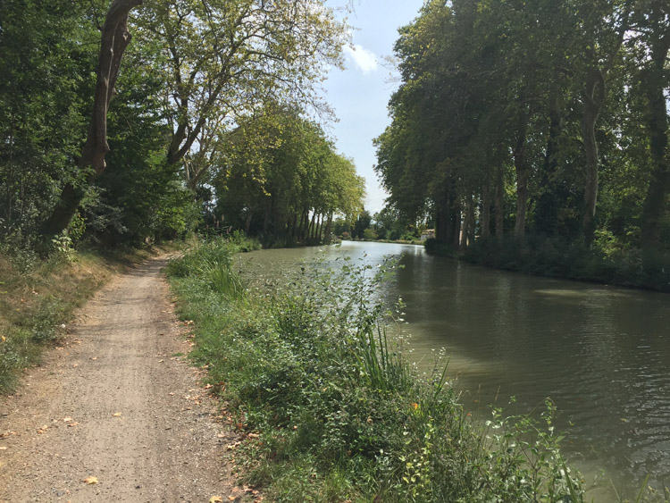
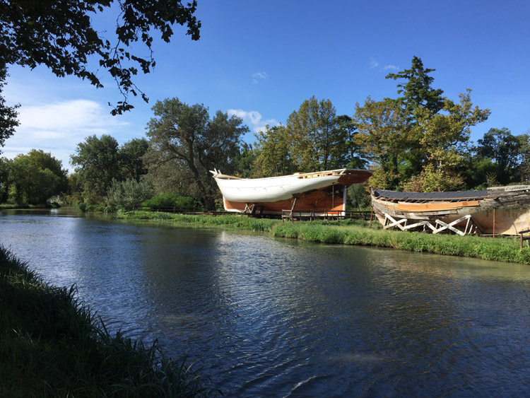
Canal du Midi
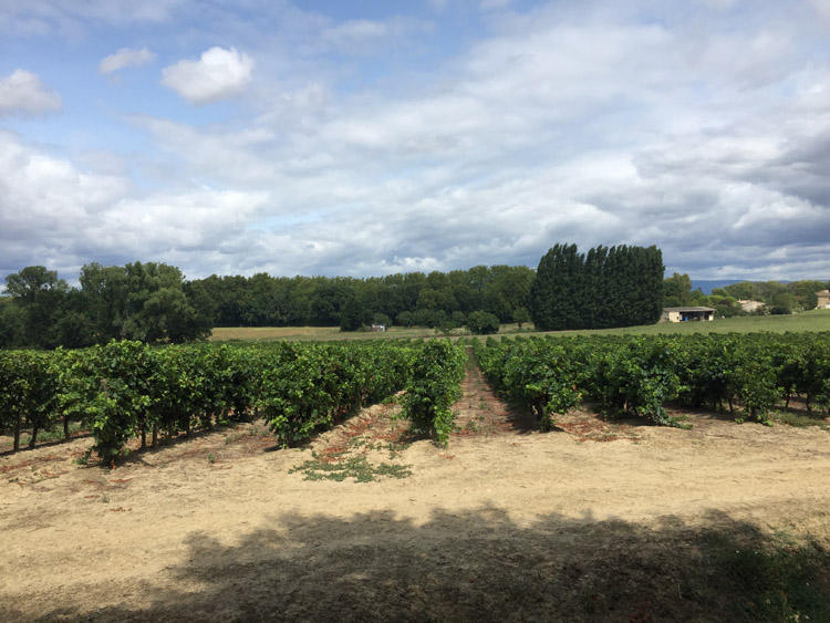
Vineyards near Carcassonne
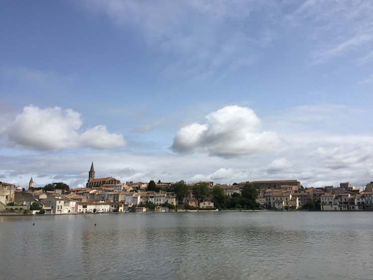
Castelnaudary
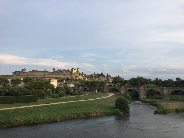
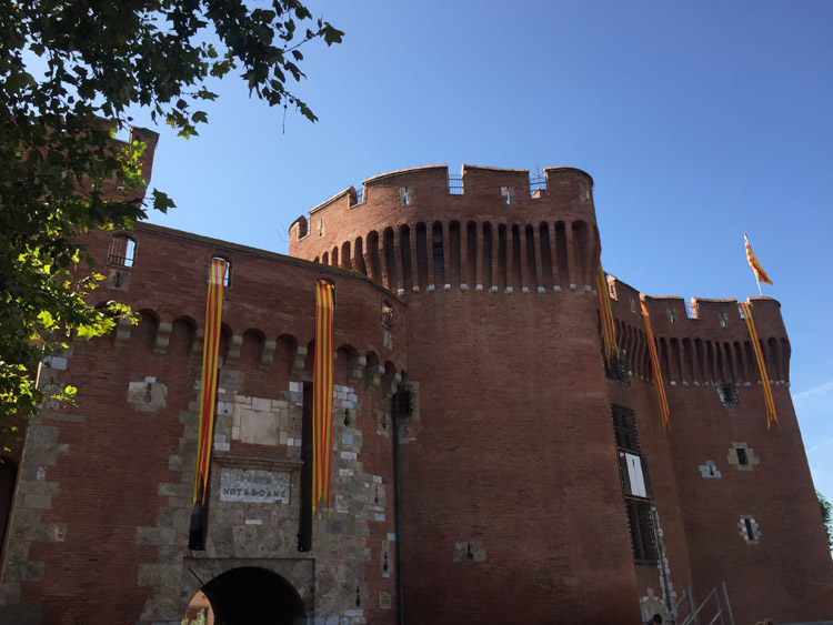
Carcassonne walled city, parts of it temporarily had yellow patterns mounted on the monument to celebrate UNESCO status

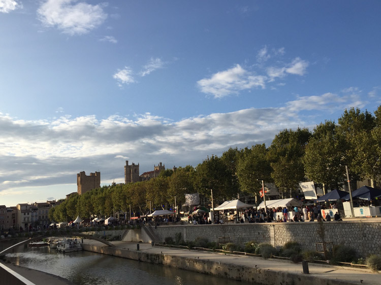
Carcassonne to Narbonne

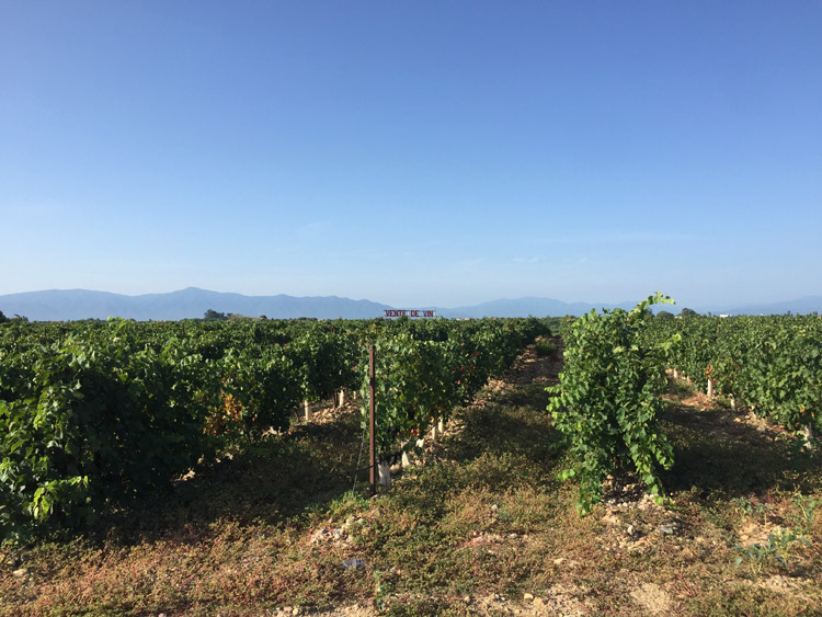
The landscape on the way to Narbonne was quite noticeably different from what I had seen prior to Toulouse, with many vineyards and plenty of cypress trees.

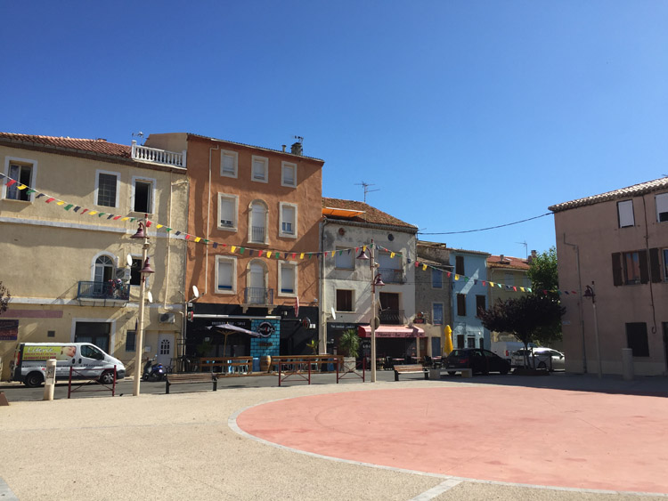
Some of the small villages approaching Narbonne from the northwest were quite picturesque. I entered the city along the Canal de la Robine. The old buildings, which had a lot of character, often painted in pastel colours, were very impressive with their matching shutters. The sandy coloured backstreets contained interesting shops.

Some roads were closed as there was a music event going on in the evening in the historic centre with a large audience watching performers, and on the other side of the canal a stage had been set up. This was accompanied by a large police and military presence.

The area in the centre around La Via Domitia (which is the remains of an uncovered Roman road) was particularly nice and lively.

Distance: 40 miles

Maximum temperature: 23 degrees C

Narbonne in the evening

Narbonne backstreets in the historic centre

Canal de la Robine in Narbonne

Canal de la Robine in Narbonne

Carcassonne

Narbonne to Porte-la-Nouvelle

Departing from the campsite just southeast of Narbonne, I knew it wouldn’t be far to cycle to reach the Mediterranean coast, and was pleased to find it was a sunny morning.

The route went south on a path alongside the Canal de la Robine through some wetland areas, where you could start to sense the sea air, and then arrived at the Mediterranean coast at Porte-la-Nouvelle. As forecast it was a windy day which provided a tailwind and the sky was looking vividly blue during the journey to the coast. The area is prone to strong winds including the northwesterly Tramontane wind. Apparently the strong winds in the South of France cause the strong light conditions that can be seen there, with the clear blue skies. This phenomenon, which attracts artists, was particularly noticeable as I approached the coast.

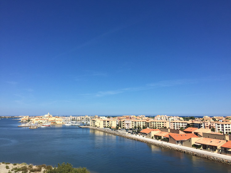
Porte-la-Nouvelle had what seemed to be a cement plant on the outskirts along with numerous large silos. It is France’s third commercial Mediterranean port and is important for grain exports and hydrocarbon imports. It was interesting to think that much of the grain crops that I had seen being grown, irrigated and made ready for transportation in the South West region might end up being internationally shipped from here. Up to 800,000 tonnes of grain are shipped from the port annually, including wheat and barley, to other Mediterranean countries.

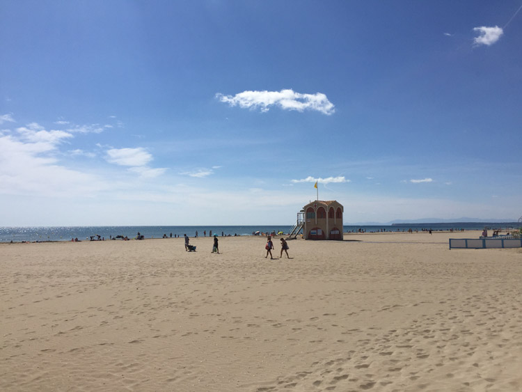
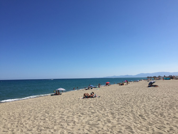
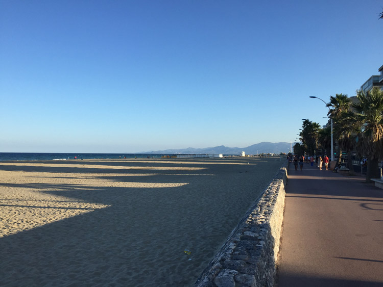
It was really exciting to see the calm and glistening Mediterranean Sea for the first time on the trip, from the promenade next to the beach at Porte-la-Nouvelle. Decided that this location would be an ideal place to have lunch, and stay overnight. I enquired in a hotel in the port area and they confirmed that they had a room available for the night, and a garage for bikes. I left most of my things at the hotel and then relaxed on the beach in the afternoon and had a swim.

Distance: 15 miles

Maximum temperature: 27 degrees C

Canal de la Robine

Canal de la Robine

Beach at Porte-la-Nouvelle

Porte-la-Nouvelle

Porte-la-Nouvelle

Porte-La-Nouvelle to Canet-en-Rousillon

After checking out of the hotel and retrieving my bike from the garage there, I headed directly south along the coast roughly towards Perpignan, and more broadly, Spain.

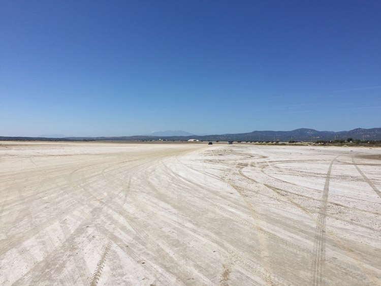
It was nice to stop at a few places on the way down the coast. The first one was an extraordinarily wide stretch of sand just south of Porte-la-Nouvelle where the beach was fairly empty, but there were quite a few campervans parked on the hardened sand away from the sea. Then I continued on a track alongside the railway line. I stopped for lunch at La Franqui, and then went up a very steep and rough track with many rocks. This necessitated getting off the bike and pushing it and the attached luggage up through the rocky terrain. It was hard to tell in advance what the terrain would be like from looking at the route on the phone. The views at the top of the hill overlooked the coast and the mountains further south were visible too, and they would become larger and more clear as the day progressed.

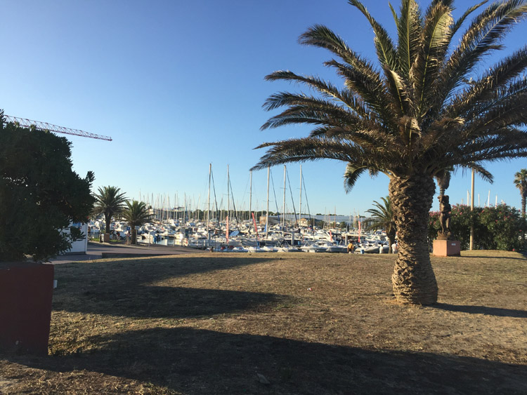
Later I stopped at Leucate Plage and Le Barcarès. Both were very nice, particularly with the silhouette of the Pyrenees on the horizon, and I was really enjoying cycling through this region and the almost subtropical feel that it had. By now there were multiple palm trees and a dedicated cycle path.

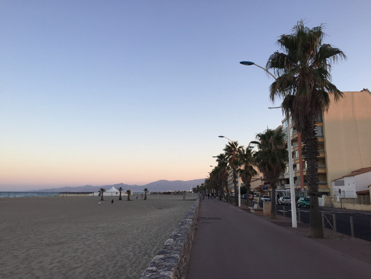
Having attempted the second repair of my airbed earlier in the hotel, there seemed to be many campsites around the area of Canet-en-Rousillon and this town was roughly horizontally parallel with Perpignan on the map. I checked in to the first one I found there, and visited the beach in the evening. I wasn’t sure what to expect. The air still felt comfortably warm and the beach looked incredible, with the colours of the sky graduating from deep blue to warm orange and the setting sun illuminating the sea and the palm trees against the backdrop of the mountains.

Distance: 27 miles

Maximum temperature: 27 degrees C

Sands south of Porte-la-Nouvelle

Leucate

Le Barcarès

Canet-en-Rousillon

Canet-en-Rousillon

Canet-en-Rousillon

Canet-en-Roussillon to Banyuls-sur-Mer

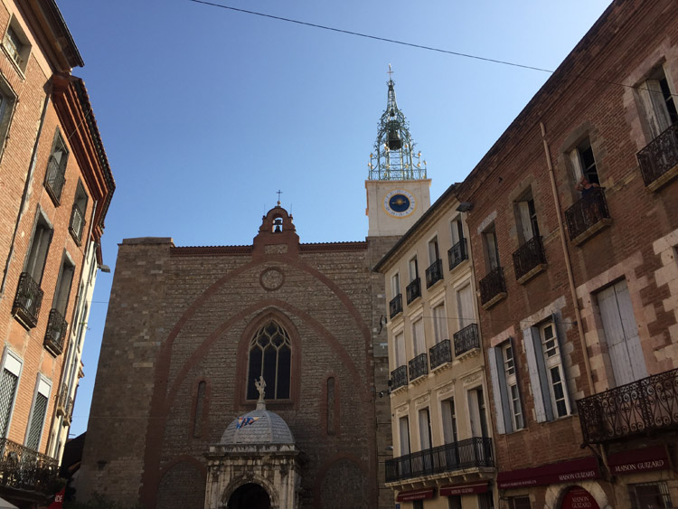
Initially heading west to Perpignan, I visited the old town area and the Cathedral. It was a quick visit and I didn’t go in to the Palace of the Kings but the thick, high walls surrounding it looked very impressive. The old architecture was quite likeable and the mountains were very prominent on the approach from the east. The Catalan influences were clear and would become even more so for the rest of the day with the frequent sight of the unmistakable yellow and red striped Catalan flag.

After Perpignan I cycled southeast back towards the coast, stopping at Argeles-sur-Mer which had a great beach.

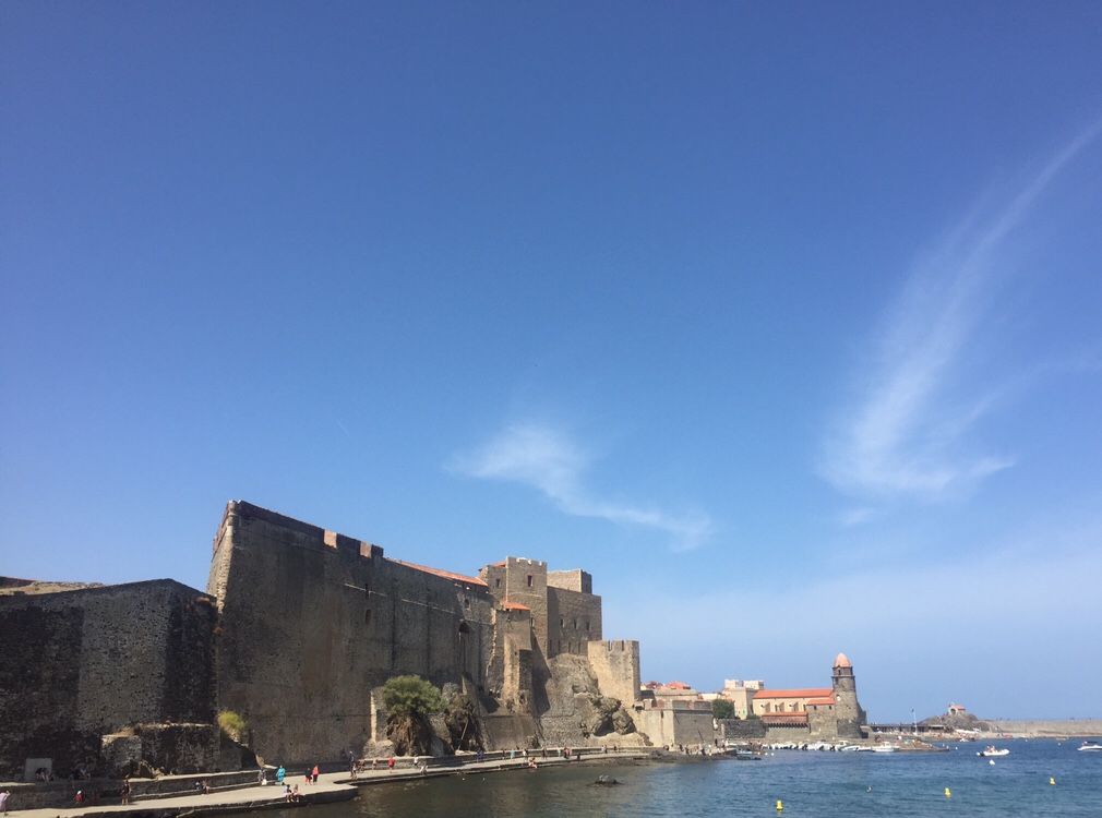
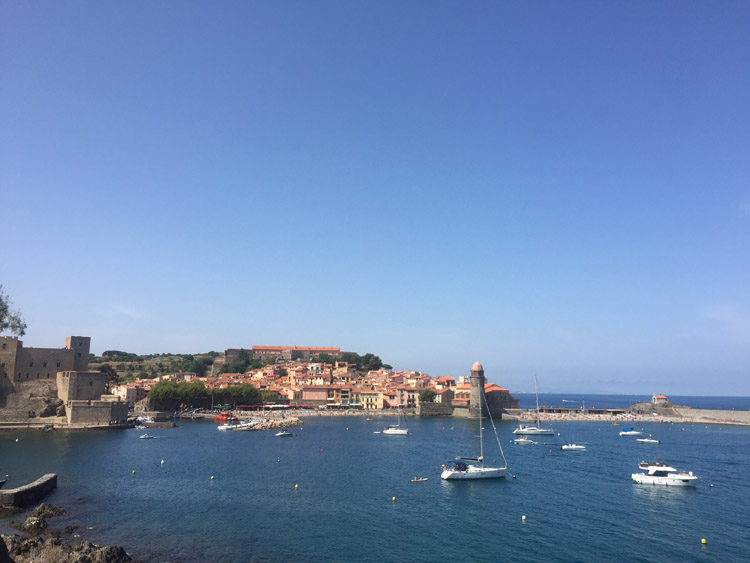
Further south, it was the clear that the Pyrenees extended right to the coastline as the roads ascended quite rapidly in to the hills. The coastal towns had a completely different character now that they were built on hillsides, felt much older and showed more of a Catalan influence and Collioure was particularly impressive.

When I passed Banyuls-sur-Mer I followed the phone sat nav in to the hills with the intention of reaching Portbou. The route became increasingly mountainous to the extent that it became impassable as the altitude increased and the windy roads turned from tarmac, to unsealed gravel tracks, then to narrow rocky hiking trails.

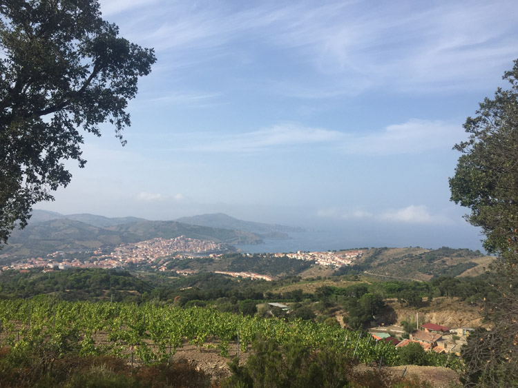
At this point the elevated position gave a good view of the coastline that I had passed along, but decided to stay at the nearest campsite at Banyuls-sur-Mer.

Distance: 37 miles

Maximum temperature: 28 degrees C

Vineyard near Perpignan

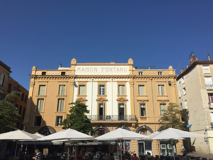
Perpignan

Perpignan

Perpignan

Collioure

Collioure

View of Banyuls-sur-Mer from the mountains

Banyuls-sur-Mer to Llançà

Setting off fairly early from the campsite, which was situated on a steep hillside, I went through the centre of Banyuls-sur-Mer then took the coast road to Cerbère. The road provided excellent views of the coastline.

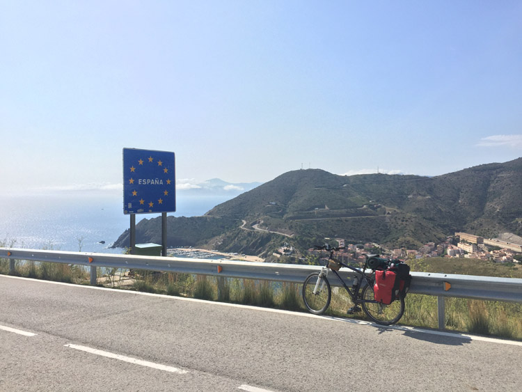
There was a climb up to the border where there was some derelict border infrastructure which was unmanned as expected.

Immediately after crossing the border the road descended in to Portbou, and after going around the edge of Colera I reached Llançà. It didn’t surprise me to see some political graffiti and flags related to Catalan independence.

It was nice to arrive in Spain and I was looking forward to seeing more of the Costa Brava.

Distance: 18 miles

Maximum temperature: 28 degrees C

French / Spanish border