It was starting to get dark when I arrived in the centre of Valencia, Spain’s third largest city, making it hard to see the sights, and I was more concerned with navigating through the multiple cycle paths in the city and avoiding pedestrians, cars and other cyclists but was keen to see it in the daylight. During the cycle ride from the harbour to the centre in the evening there were many people out running in the parks.
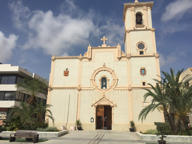
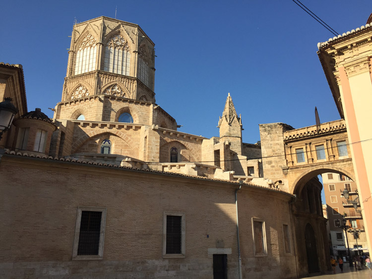
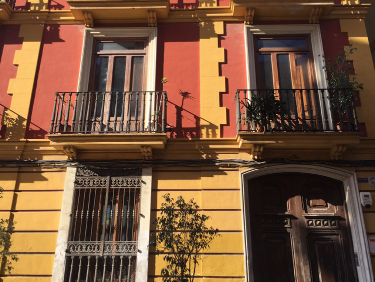
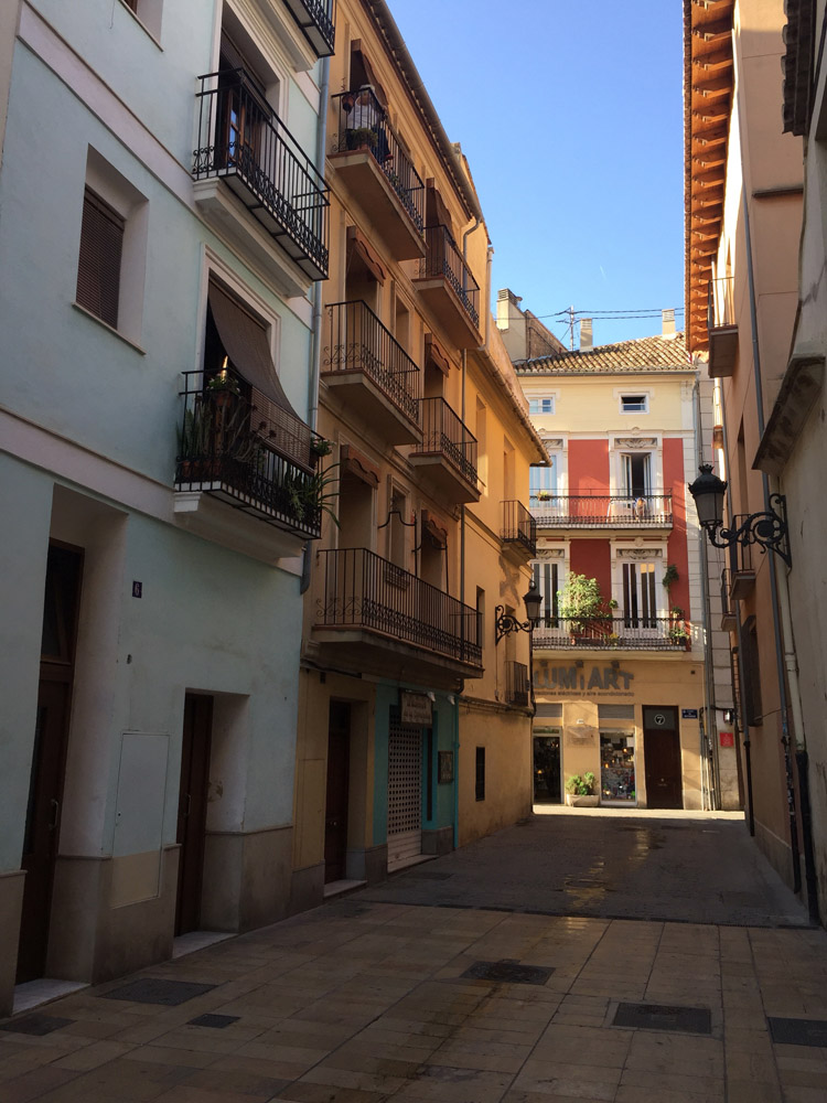
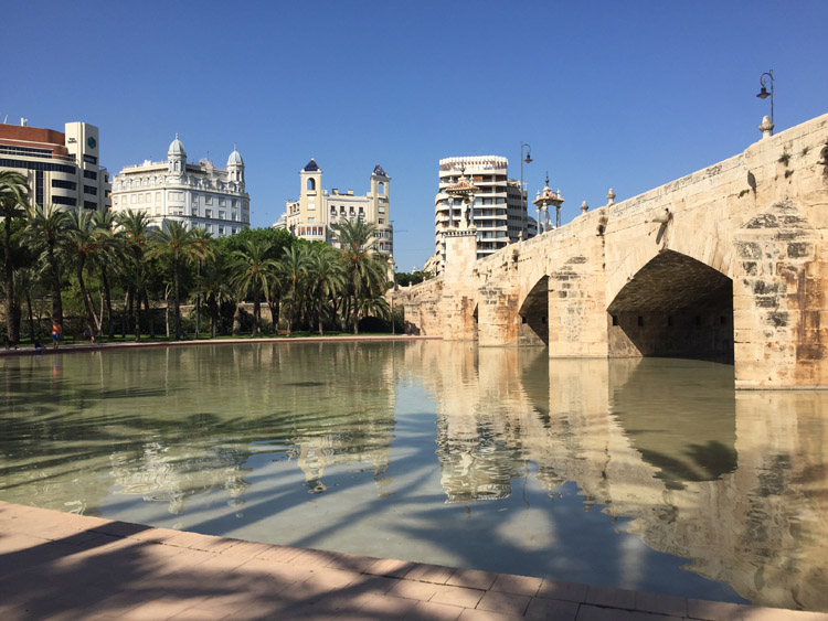
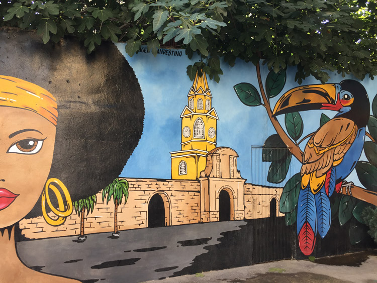
The following day the sky was blue and the temperature was perfect and I looked around the old part of the city, it was fairly quiet with few people around. The old buildings, walls and towers provided the character of the city and there were also a lot of interesting contemporary murals, including one on the wall next to the place I was staying.
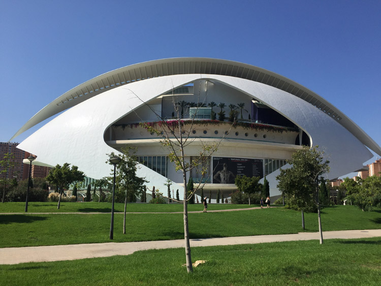
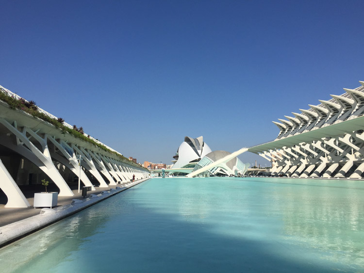
Cycling southeast out of the city took me through a large park area which was very nice and eventually I went passed the City of Arts and Sciences buildings, which in contrast to the much older architecture earlier, were extremely modern and futuristic looking. One building looked like a space ship.
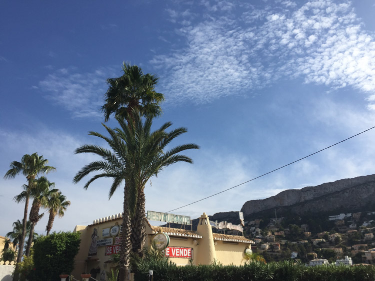
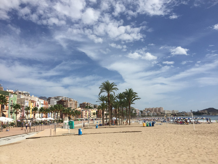
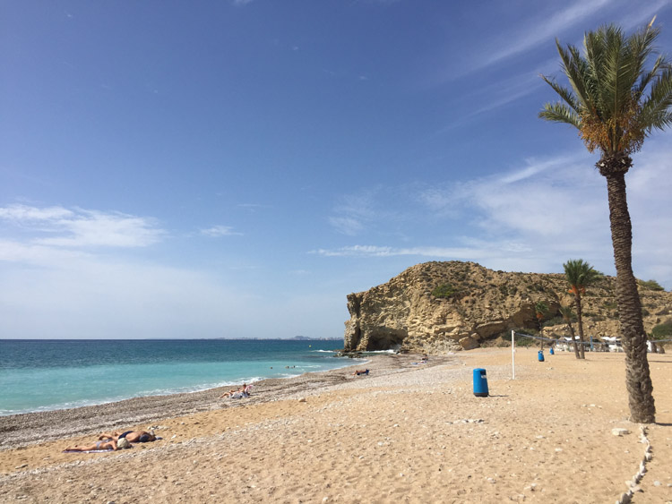
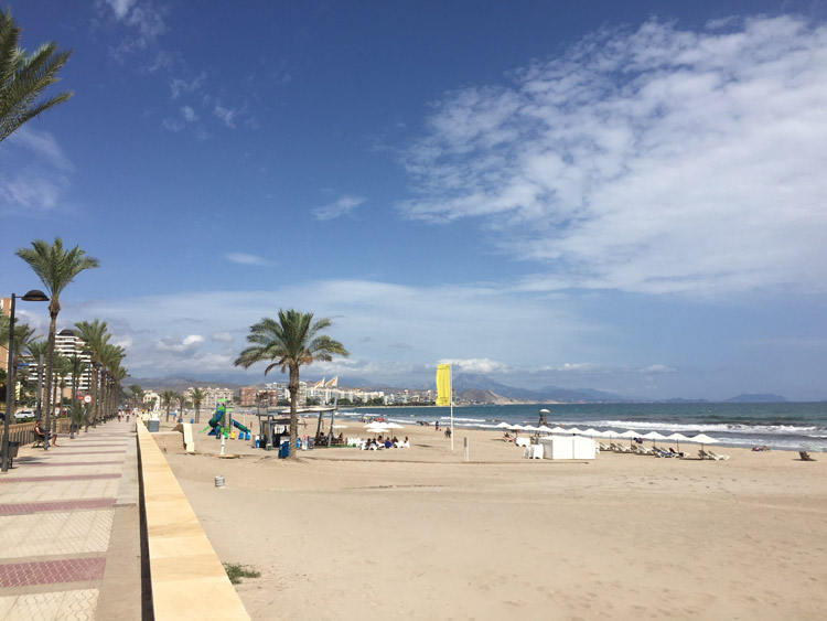
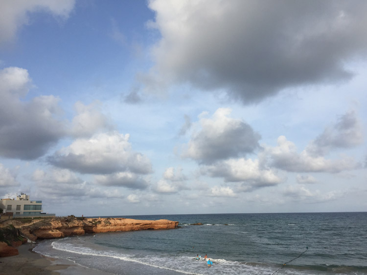
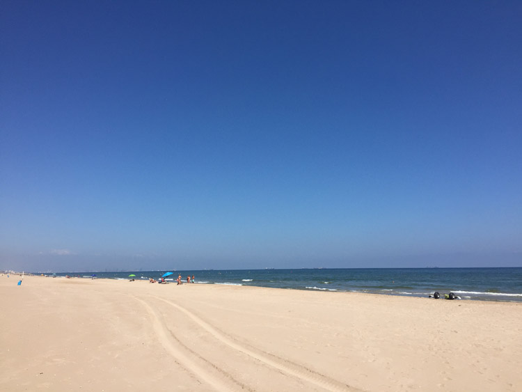
It was a shame to miss the cities many museums and the shops looked good too but I had to checkout before midday. There was a very good cycle path leading out of the city. On the journey south I stopped at the seaside towns of El Perellonet and El Perelló, both of which had a nice long beaches.
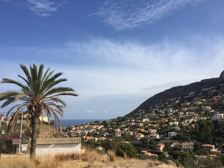
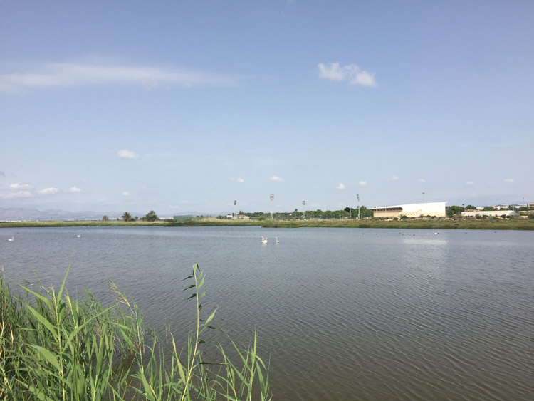
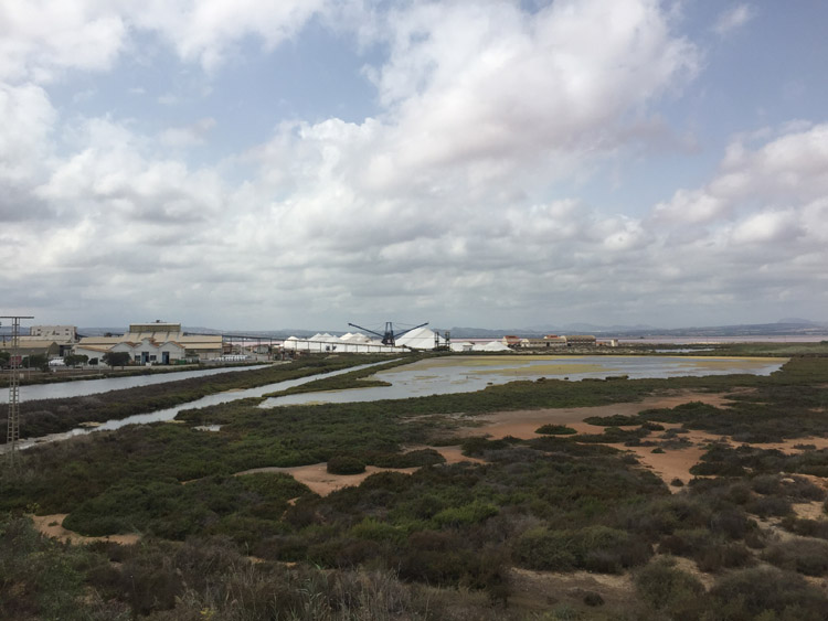
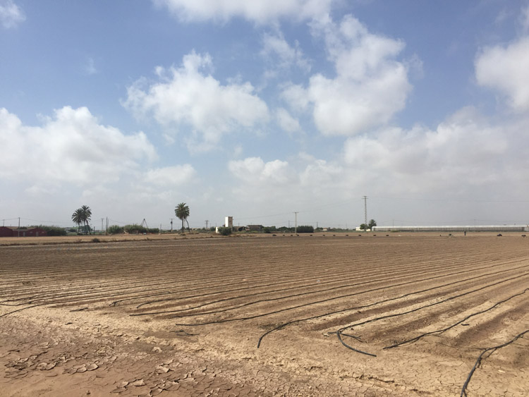
The scenery was quite different on the inland stretch through the Parque Natural de la Albufera, with the views of the hills to the south and the wetland birds flying around.
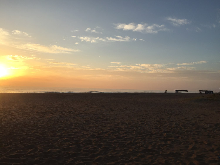
Now that it was getting later in the season and opening hours seemed to be reducing I was keen to find a campsite before it got too late. Fortunately it was easy to find a very reasonable one right next to the beach near Xaraco, which was relatively quiet and empty. This meant it wasn’t far at all to go and cool off for a late evening swim.
Distance: 37 miles
Maximum temperature: 28 degrees C
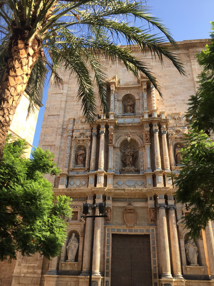
Valencia
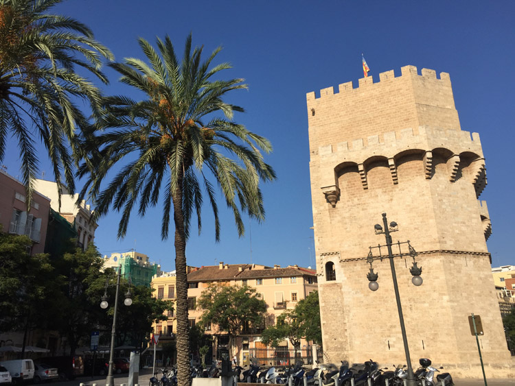
Valencia
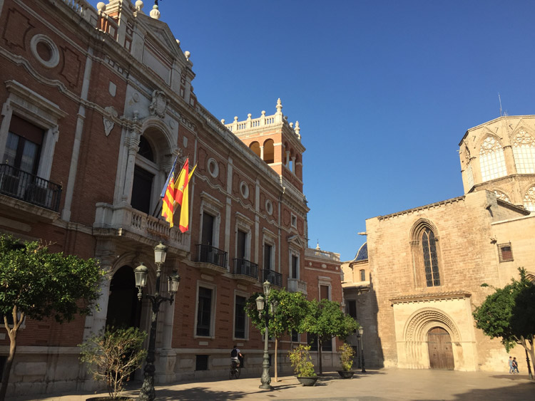
Valencia
Valencia
Valencia
Valencia
Valencia
Valencia
Valencia
City of the Arts and Sciences, Valencia
City of the Arts and Sciences, Valencia
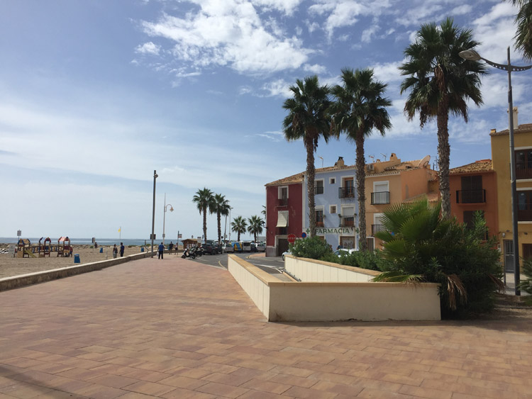
El Perellonet