Cap de L’homy to Plage des Casernes

Enjoyed a morning swim at the beach in Cap de L’Homy. Queued up to make use of the laundry facilities at the campsite where a German lady provided some advice about camping etiquette and traditions. She said that most of the German visitors, who based on vehicle registration plates and language spoken appeared to make up most of the occupants, were from the North Rhine-Westphalia area.

The cycle path continued mostly through forests, avoiding the towns and the majority of the traffic although I stopped to get some lunch at the boulangerie in the small village of Léon. It was a fairly short ride down to the next campsite near Plage des Casernes, where the afternoon became increasingly cloudy and later there would be some rain overnight.

Down at the beach kiteboarders were making the most of the strong northerly wind.

Distance: 29 miles

Maximum temperature: 23 degrees C

Plage des Casernes

Plage des Casernes

Plage des Casernes to Biarritz

Made my departure from the campsite at Plage des Casernes just before midday, and knew the journey to Biarritz would be a relatively short one. I passed through Capbreton, which had a nice harbour area, and stopped briefly at the tranquil Plage du Metro, then crossed the Adour river at the most westerly possible point at Pont Henri Grenet, and went through the industrialised outskirts of western Bayonne.

As I had been forewarned, the approach to Biarritz was relatively steep, with the whole town seemingly built on a hillside. It was nice to reach the town at last. The first campsite that I tried was full but luckily the one further out of town towards Bidart had availability.

I went in to the town centre in the early evening, visited the busy seafront at the Grande Plage where the surf looked particularly good, and explored some backstreets.

Distance: 32 miles

Maximum temperature: 22 degrees C

It was nice to see this sign at the outskirts of Biarritz

Port de Capbreton

Biarritz to Urt

The journey so far down the west coast of France had been fairly straightforward as it followed the excellent Eurovelo 1 cycle route. The planning and implementation of this route really impressed me and made me think how much effort must have gone in to developing this infrastructure and maintaining it. Especially in the busier southerly sections, it was good to see that it was getting such good use.

So far I had just followed this path south, now that I was turning east the route would be less obvious and more subject to change. According to my map there was a dedicated route almost to Lourdes and some more routes further east but not one that stretched directly to the Mediterranean coast. There was an easterly route further south from San Sebastián but it looked very mountainous. I was keen to see the mountains, and had already seen some peaks in the distance from Biarritz, but wasn’t sure how challenging the Pyrenees would be and wanted to keep my options open for the route depending on the terrain, traffic, and weather conditions.

I left the campsite and proceeded through Biarritz and through the centre of Bayonne which had an attractive historic centre with large city walls surrounding it. The city dates back to Roman times.

There was a very quiet cycle path running eastward from Bayonne running alongside the Adour river, this took me to a bridge which I crossed to reach Urt. Was pleased to find a very peaceful and rural campsite there with plenty of space, which I didn’t hesitate to check in to. The place was incredibly tranquil backing on to fields yet along with birdsong and the smell of neighbour’s barbecues I could hear the sounds of live Rhythym and Blues music coming from the annual town party nearby.

Distance: 20 miles

Maximum temperature: 24 degrees C

Grande Plage, Biarritz

Biarritz

Château Vieux, Bayonne

Bayonne

Camping at Urt

Urt to Pau

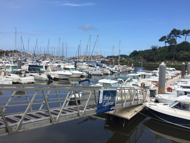
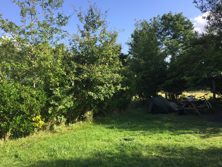
Etche Zahar, the campsite at Urt, had a lot of character, was excellent value and one of the best so far. The well looked after site was very spacious, set in nice countryside, and definitely felt like a relaxing place in the evening sunshine.

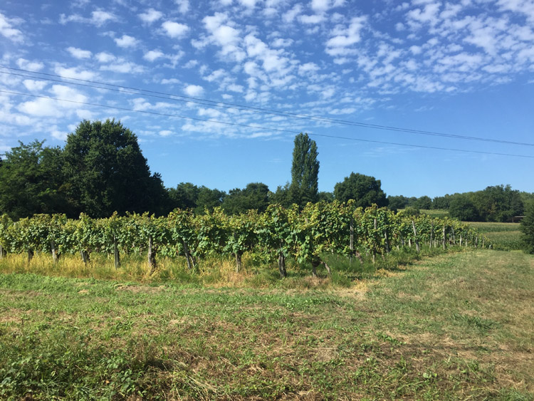
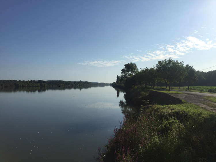
The route east from Urt started off alongside the Adour river and during the morning the temperature was perfect for cycling with little wind and a blue sky. The scenery was extremely varied and included pontoons and boats on the river, period riverfront properties, small villages with few signs of their inhabitants, and many fields containing lots of kiwi fruit, and later orchards and some vineyards.

Early on there were some small hills in the distance to the right, and there was little traffic on the roads. The roads were shared with some fast moving cyclists, many of whom overtook me, and I only saw 2 other cyclists that had panniers, this was a big contrast to the coast where there were many.

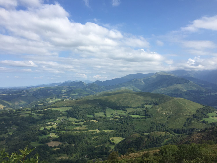
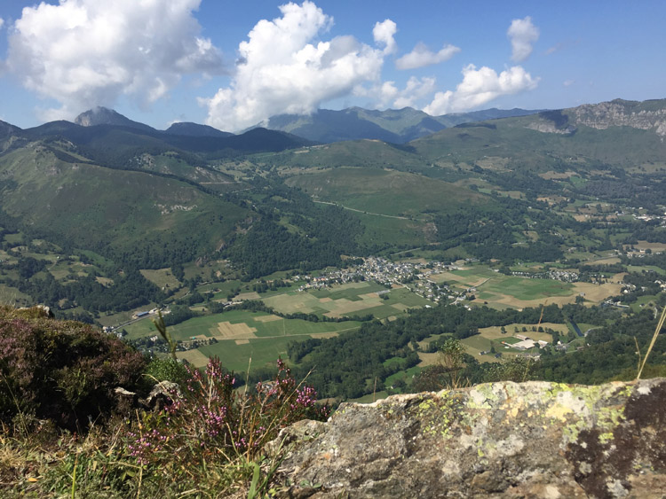
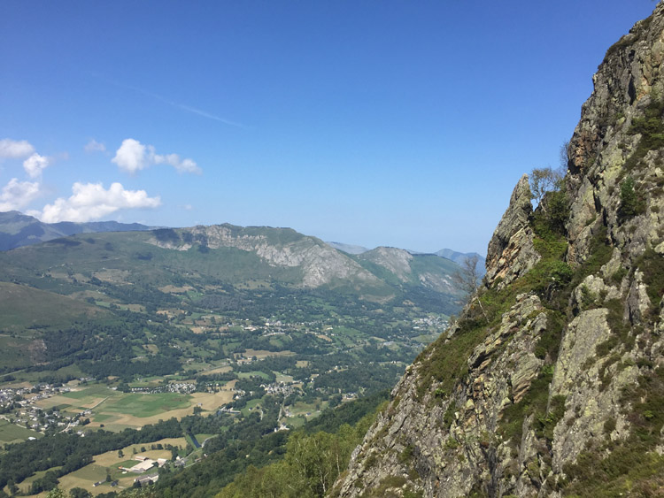
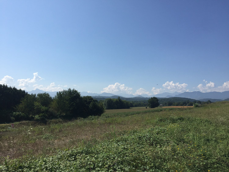
I stopped for lunch at Orthez, then continued southeast towards Pau. It wasn’t until reaching Sarpourenx that the large faint grey outline of the Pyrenees would become visible on the horizon. This was a very encouraging sight, which appeared and disappeared from sight on the horizon as I cycled through some of the lower lying hills.

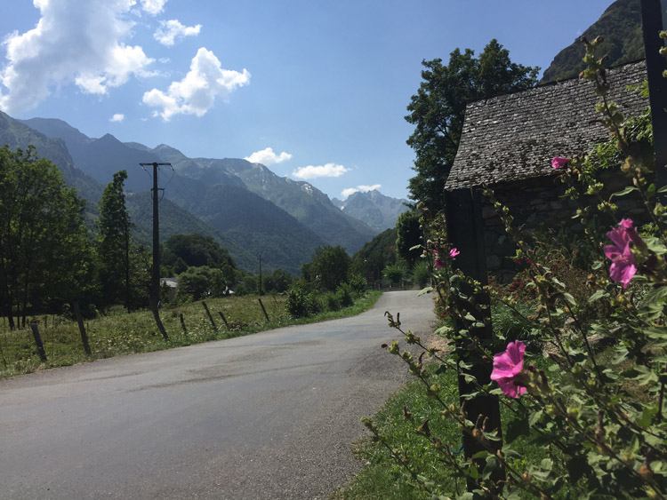
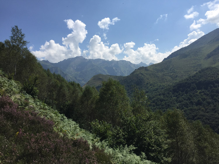
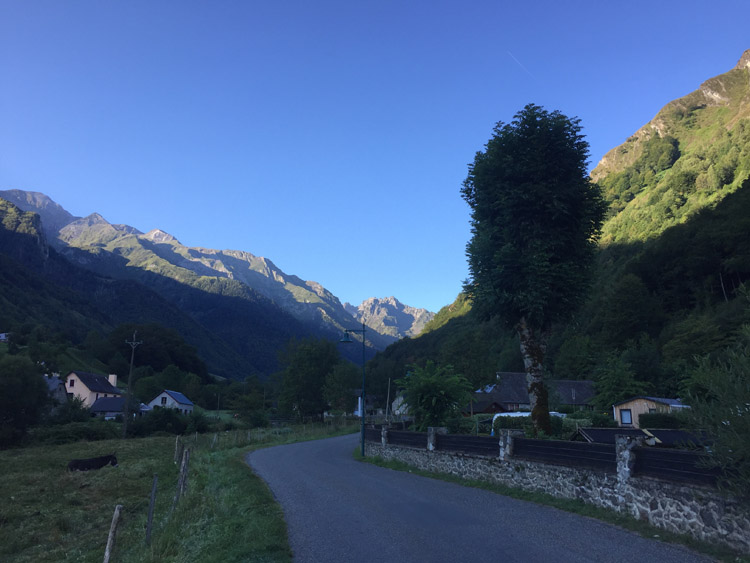
The cycle route that I was following was called the V81 and was much less well defined than the Eurovelo route, with very little signage. Some of the roads and paths indicated on my navigation app didn’t exist, this resulted in some backtracking. Generally the landscape was a lush green colour and there were donkeys, horses and cows in the fields adjacent to the road, sometimes with their offspring, and at one point after the ascent in to the hills the sound of cowbells could be heard.

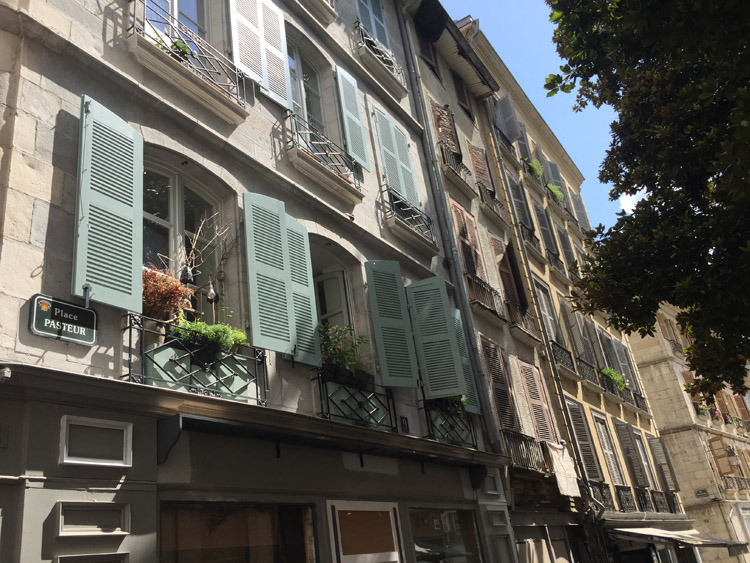
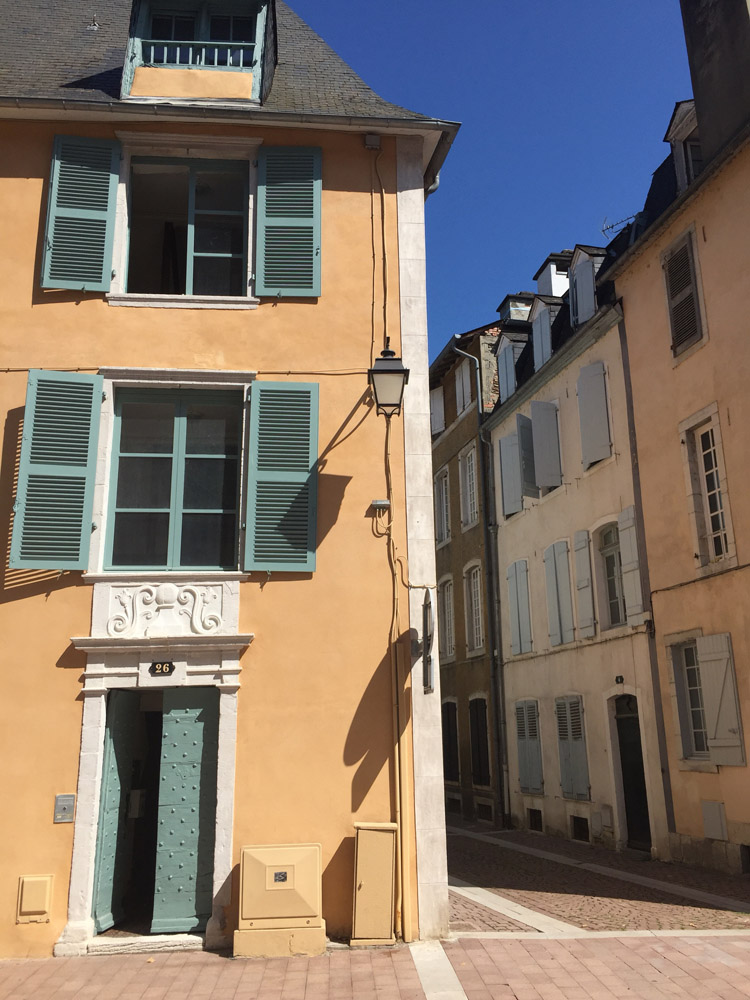
The style of the houses changed as the altitude increased, with dark, steeply sloping roofs. These alpine looking dwellings were in stark contrast to the surprisingly numerous amount of palm trees in the gardens or in the vicinity. The temperature was now in the high twenties and I wondered how common snow was in the area in the winter.

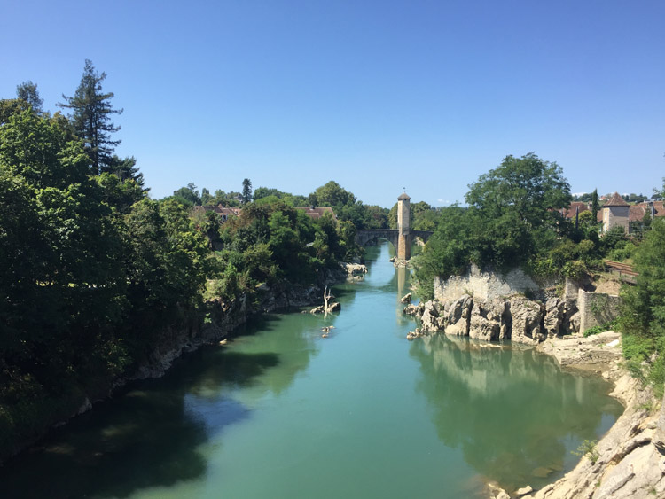
The approach to Pau went alongside the fast flowing and clear Gave de Pau. The river looked incredibly clean considering it’s proximity to a city and some people were swimming in it.

Distance: 69 miles

Maximum temperature: 28 degrees C
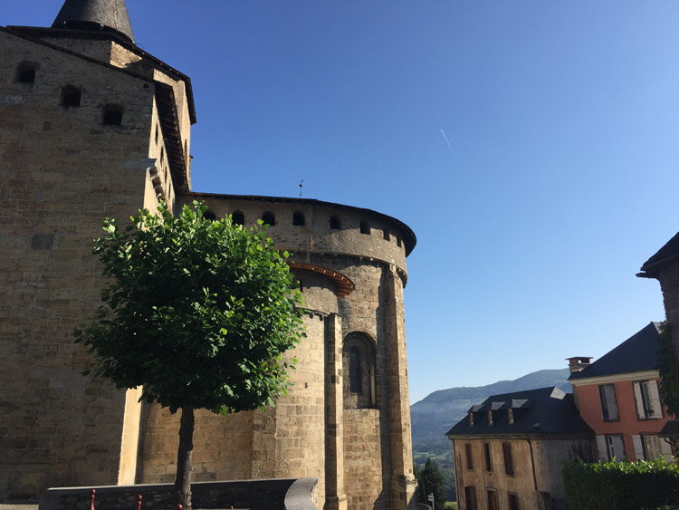
Pont Vieux, Orthez

Bellocq

Urt

Pau to Lourdes

Once I had checked out of the hotel in the north of Pau I visited the attractive, historic city centre to find wide pedestrian areas, many nice shops and cafes, the Château de Pau, and distant views of the mountains from the Boulevard des Pyrénées.

The mountains slowly became taller and more vividly coloured as I approached Lourdes from the northwest. The sky was mostly blue but the peaks attracted some clouds. After passing the Hautes – Pyrénées sign, which marked the border of a new departement, the mountains looked impressive and deeply blue / green.

Lourdes is an important pilgrimage site and felt very busy compared to Pau. Once I had reached the hotel, I headed for the funicular railway at the other end of the town to ascend towards the summit of Pic du Jer. There was a steep railway journey then a brief walk up to the summit with panoramic views of the neighbouring mountains in the Central Pyrénées, as well as the town below.

Distance: 28 miles

Maximum temperature: 27 degrees C

Pau

Pau

Hautes-Pyrénées

View from the summit of Pic du Jer

Lourdes to Estaing

Keen to get up in to the fresh air of the Pyrenees, I left Lourdes at 8am and cycled southwest directly towards the Spanish border. It was a very clear morning which enabled an improved view of the distant peaks and fortunately there was a dedicated cycle route out of Lourdes which ran alongside the river. It started off fairly flat and then the gradient rapidly increased as the road wound it’s way up through the valley.

Some of the mountains in the distance now had shear rock faces rather than the mainly green, vegetation covered ones that I had seen so far. This gave them a more dramatic appearance.

On the peaceful ride up to Estaing I passed the sign for the Pyrenees National Park, it was still early and cool which made for pleasant cycling and the views were excellent.

Was pleased to find that the campsite I planned to stay at had space available and gave a generous discount to hikers, which they also applied to cyclists. It’s location in the valley provided good views of the surrounding mountains and it’s construction was in keeping with the local style.

After locking up the bicycle and enjoying lunch at the campsite, I joined the GR10 path (which stretches from the Atlantic to Mediterranean coasts) and walked up to the 1461m summit of Pic de Pan. I had just seen this path on my map and had no idea what the terrain or difficulty would be like and in places it was hard to follow because the route was unclear. At the top the views were epic in all directions, and the vertical drop looking down was staggering.

On the descent back towards Estaing I passed an Auberge where I hoped to be able to get a drink, they were closed but kindly refilled my water bottle.

Distance: 16 miles

Maximum temperature: 24 degrees C

Estaing, Hautes-Pyrénées

18th century church on the way to Pic de Pan

Views of the neighbouring mountains

View from Pic de Pan

View from Pic de Pan

Estaing to Rabastens-de-Bigorre

Awoke to the coldest morning yet – the altitude was just under 1000 metres and there was a heavy dew. The mountains looked beautiful illuminated by the dawn sunlight.

I was aiming to reach a campsite roughly halfway to Toulouse, and went back the way I came down to Lourdes, which involved around 7 miles of continuous descent, and then headed towards Tarbes.

As the mountains became smaller and more distant behind me and the terrain flattened out, the temperature quickly warmed up, and I ended up checking in to a municipal campsite at Rabastens-de-Bigorre. It was by far the emptiest campsite that I had visited so far and there was plenty of space.

Distance: 47 miles

Maximum temperature: 31 degrees C

Estaing

St-Savin

Looking back towards the mountains near Lanne