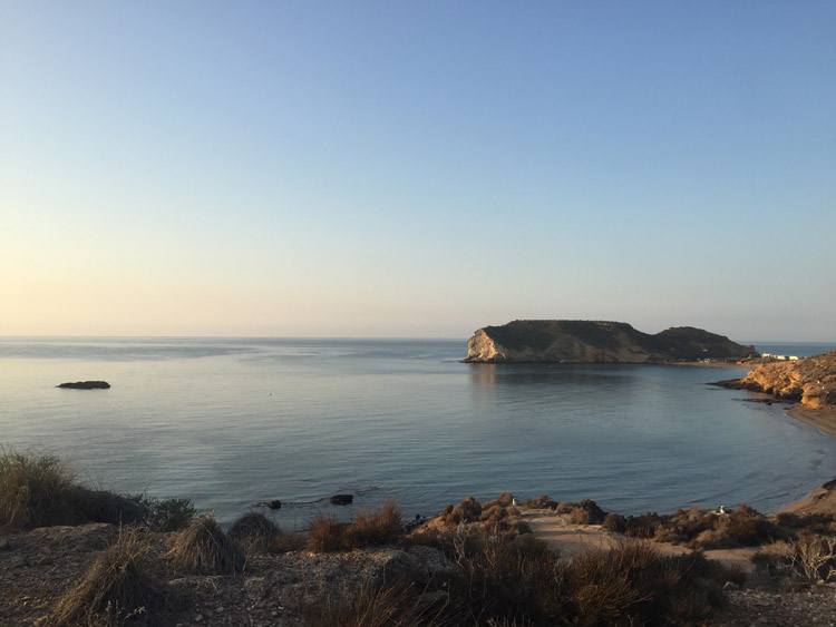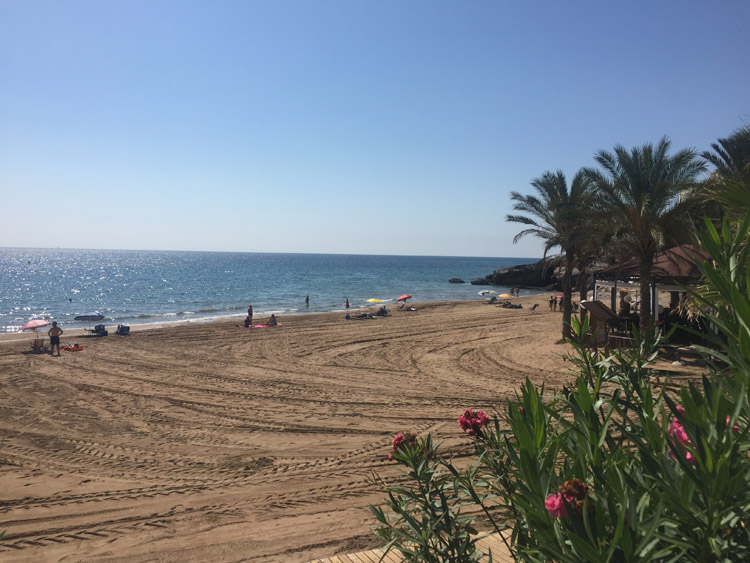
Once I had left the campsite and started cycling west, it wasn’t long before the coast road turned in to a gravel track, with access to cars and motorcycles prohibited. The path provided fantastic views of the beaches below, with their perfectly clear water and the rugged hills as their backdrop, they were mostly empty.
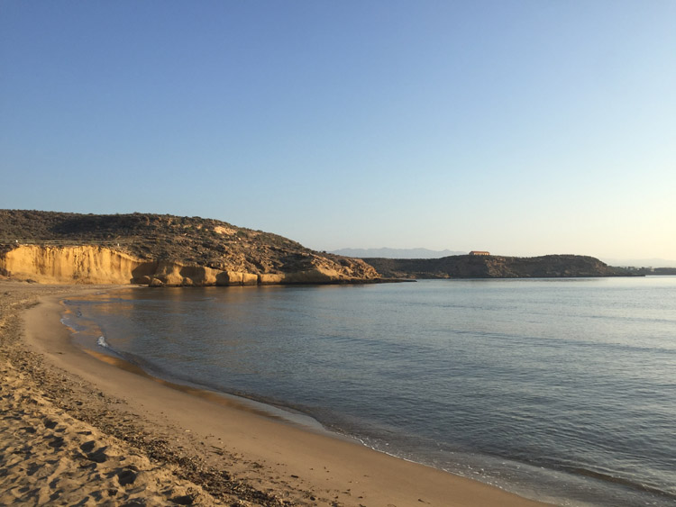
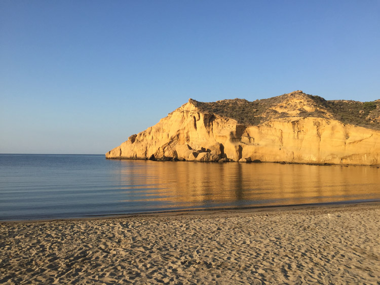
It was very peaceful without any traffic on the path and there were very few people around. This stretch of the Costa Calida was completely undeveloped, and a big contrast to the large resort towns of the Costa Blanca to the east. According to a sign it was a protected space, and I wasn’t lucky enough to see any of the local wildlife such as the spur-thighed tortoise, Bonelli’s eagle or peregrine falcon. The lack of a sealed road added to the unspoilt look of the coastline. When I paused to take some photos it was tempting to stop for a swim, but I knew it was going to be a challenging ride ahead and was keen to keep moving.
When the route turned inland there were many large plastic covered structures in the flatter lowland areas, some agricultural depot buildings, and trucks were transporting produce but it was difficult to determine what was being grown inside the plastic structures.
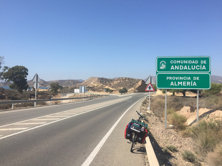
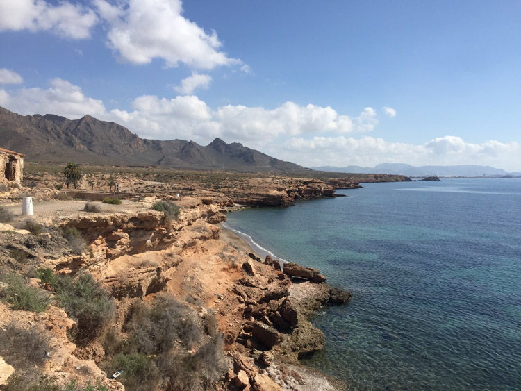
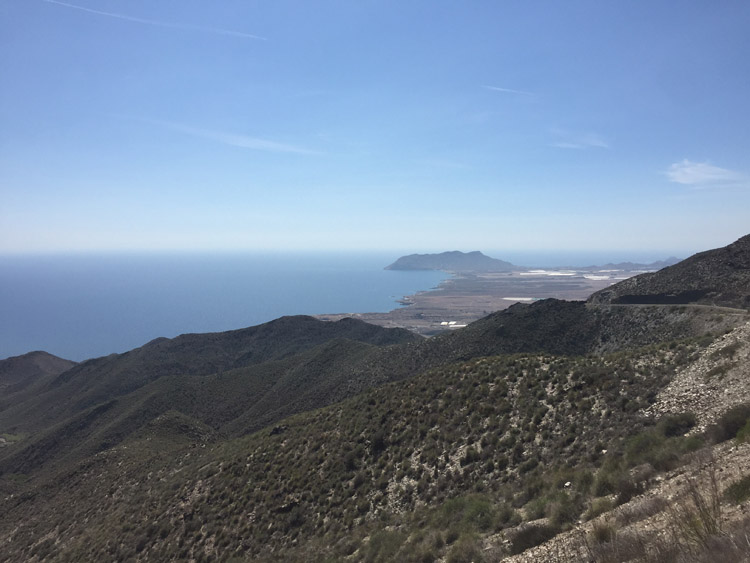
The steep ascent up in to the hills commenced, the roads wound their way up the hillside with metallic looking rocks on either side where the road seemed to have been carved out, and very little traffic. At the highest point, similar to the day before, the views of the coastline and surrounding hills were spectacular, and it was a relief to see the road change to a downhill direction.
There was a long descent, then a few more small hills to climb. I went through the port town of Aguilas, cycled along the seafront and it was still fairly hot when I reached the campsite on the other side of the town.
Distance: 29 miles
Maximum temperature: 30 degrees C
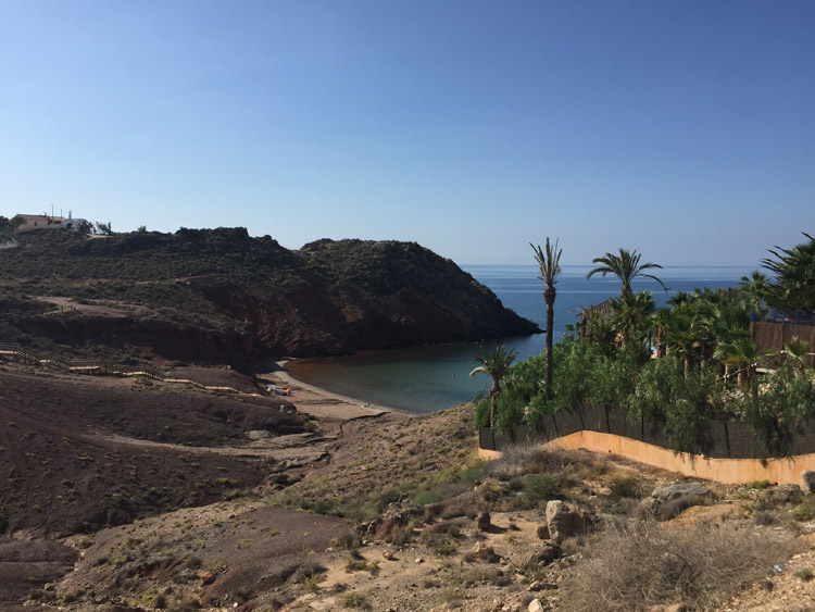
Costa Calida, near Mazarrón
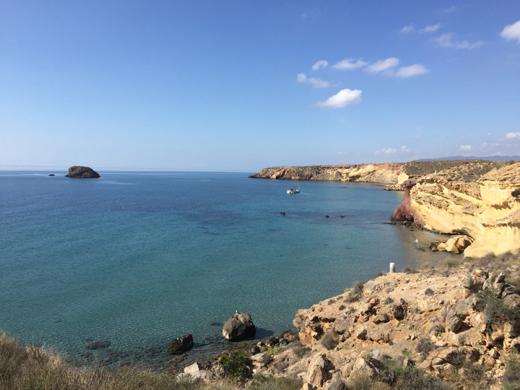
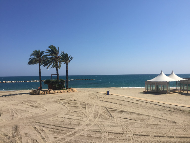
Costa Calida, near Mazarrón
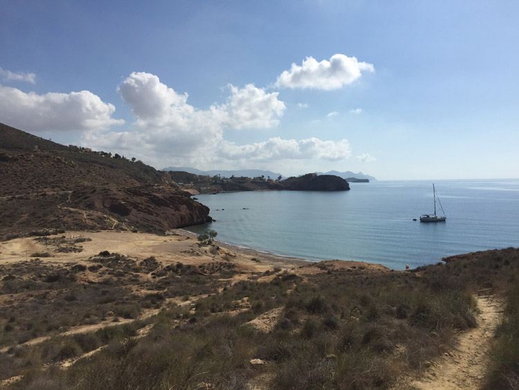
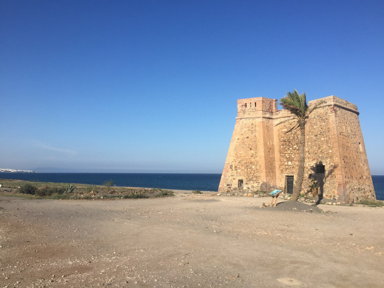
Costa Calida, near Mazarrón
Costa Calida, near Mazarrón
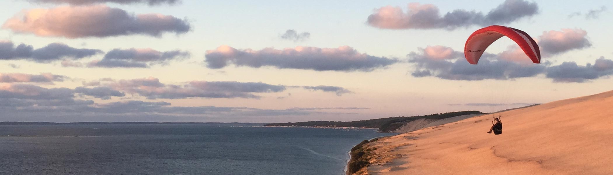
Looking southwest from the hills, towards Aguilas