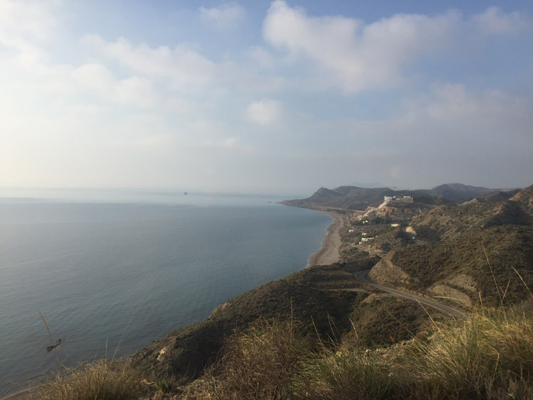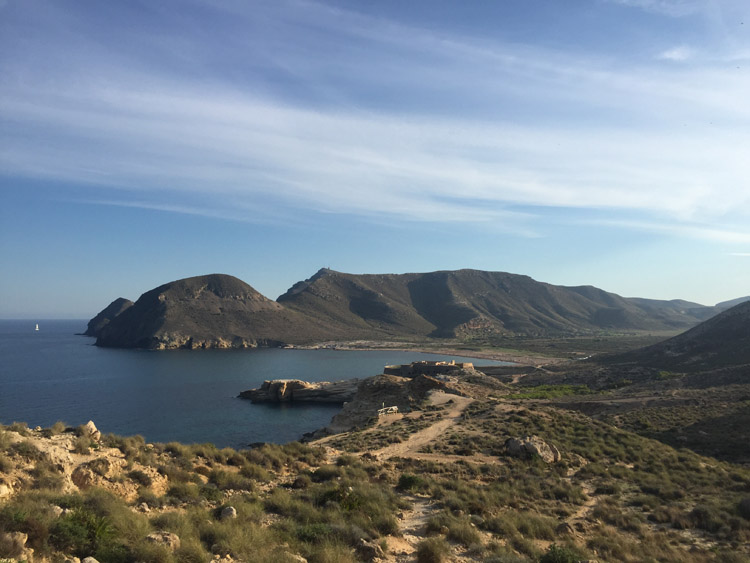
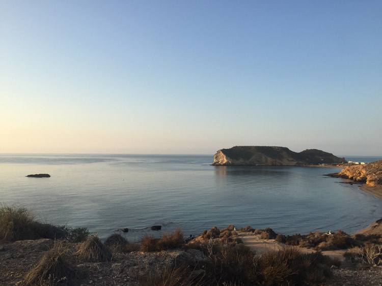
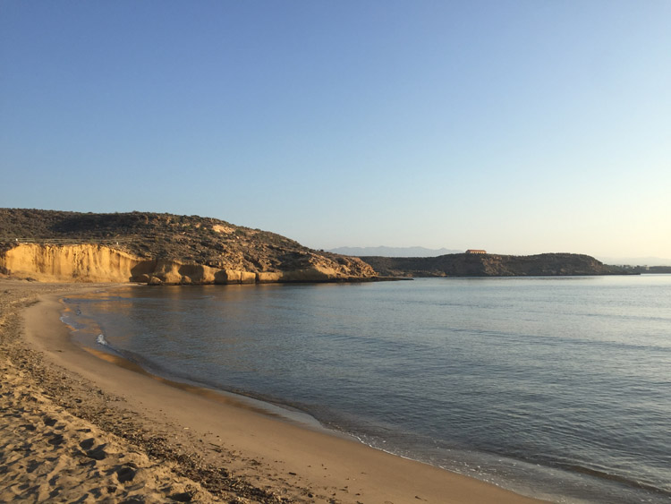
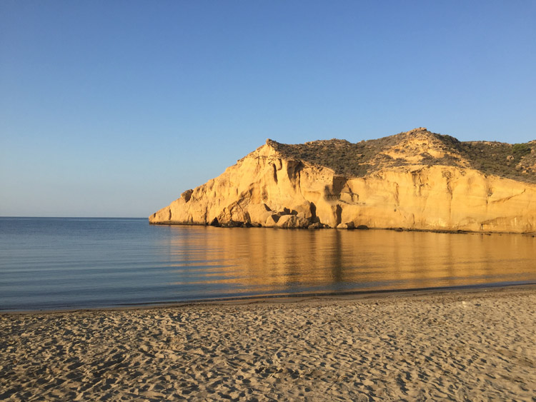
It was a nice temperature and there were hardly any clouds in the sky at sunrise when I visited the Cuatro Calas, a series of beaches just down the road from where I was staying. Aside from some caravans and campervans in the various carparks the beaches were almost completely empty. It was great to go for a swim first thing in the morning and see numerous fish.
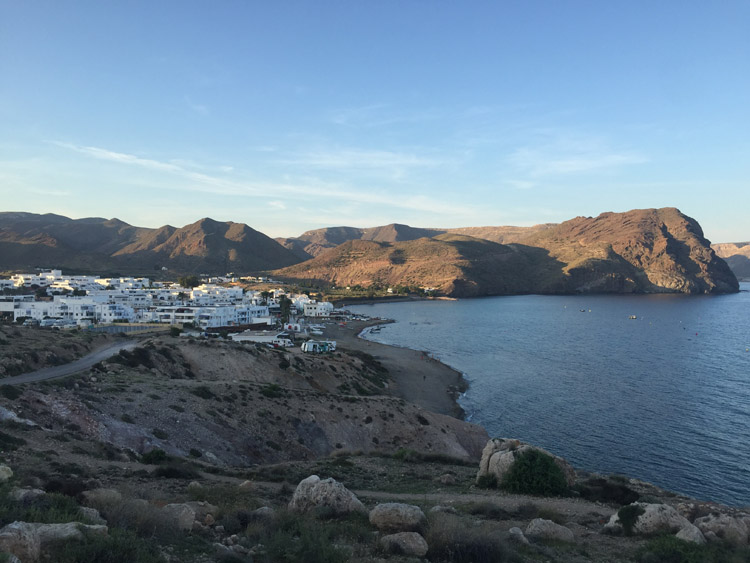
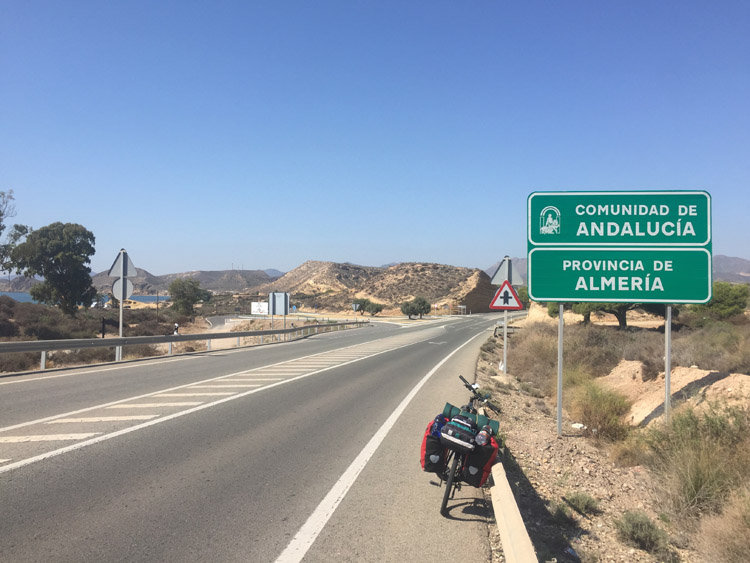
The border between Murcia and Andalusia was only a couple of kilometres down the road from the campsite and first impressions of this region were good. The coast road was quite spectacular and it was nice to cycle right alongside the sea through the first area called Pulpí, which had several nice resorts including San Juan de los Terreros. The hills didn’t extend right to the coast in this area, but later when they did and there were cliffs to the left, the rocks next to the road still had a metallic appearance. There were some old mining ruins along the coast, and it was hard to tell but what looked and sounded like some active mining too.
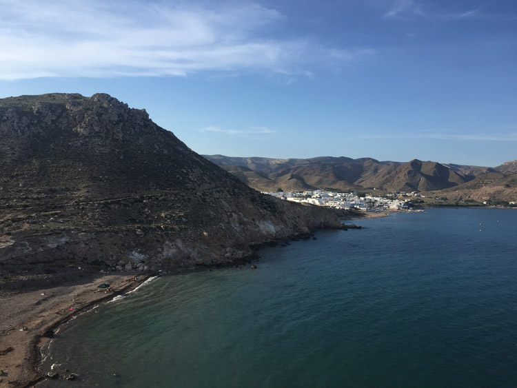
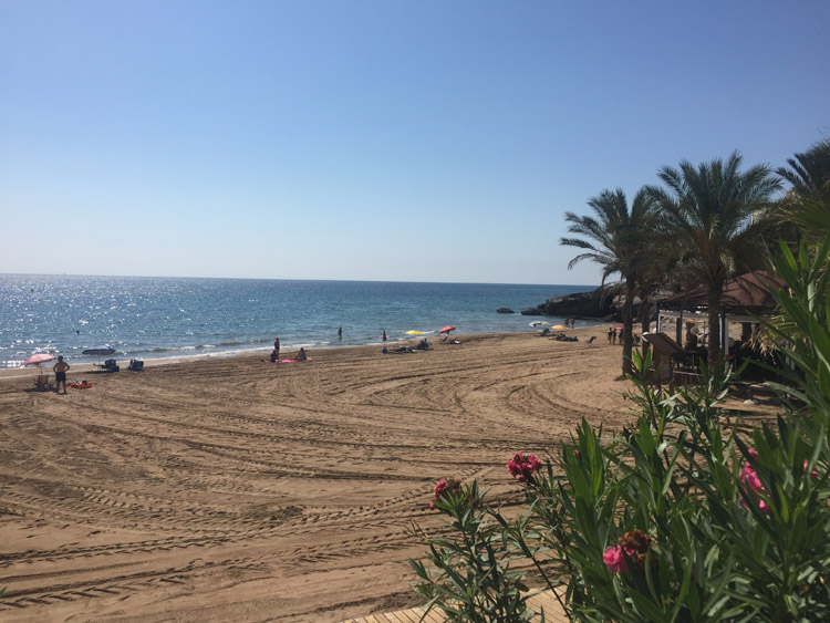
After crossing the Rio Almanzora, or at least it’s riverbed, I went through the towns of Garrucha and Mojácar. Both had nice seafronts and a large choice of restaurants and bars, often with a tropical theme or name. Given the weather, nice coastal vistas and all the palm trees they didn’t look too out of place. At this point there was a strong headwind, which would later fade completely up in the hills.
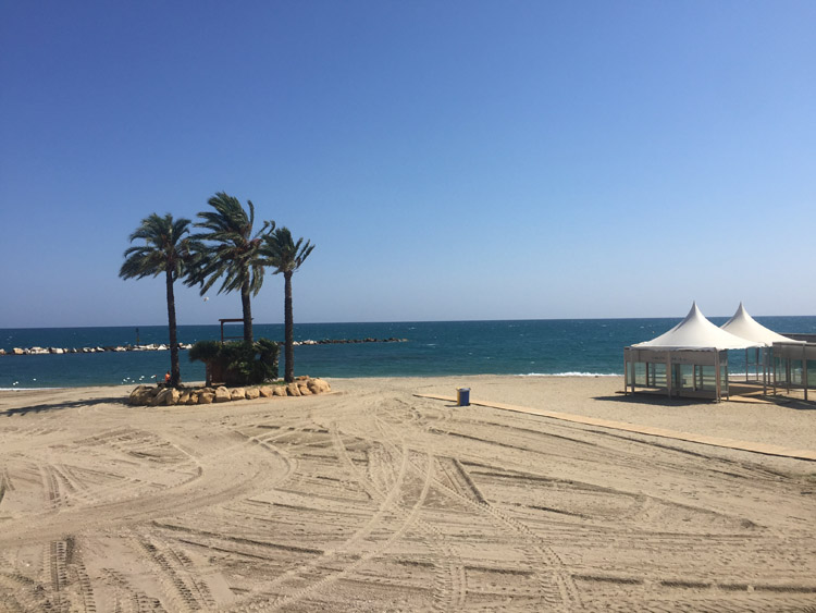
I stopped for a swim at Playa Noche y Baño and saw the 18th century Castillo de Macenas, then headed up in to the hills to stay at a very peaceful and almost empty campsite near Aqura de Emedio.
Distance: 31 miles
Maximum temperature: 28 degrees
Cuatro Calas
Cuatro Calas
Cuatro Calas
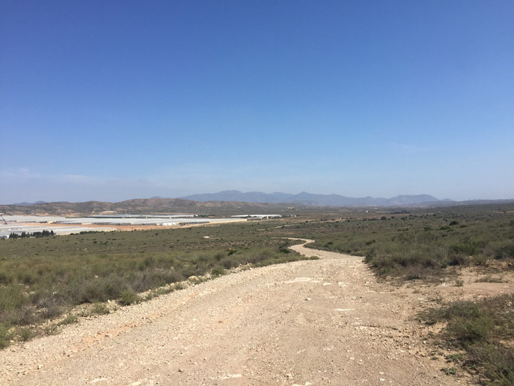
Murcia / Andalucia border
Pulpí
Garrucha
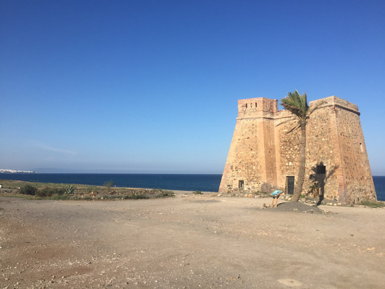
Castillo de Macenas