Les Moitiers-en-Retz to Saint-Hilaire-de-Riez

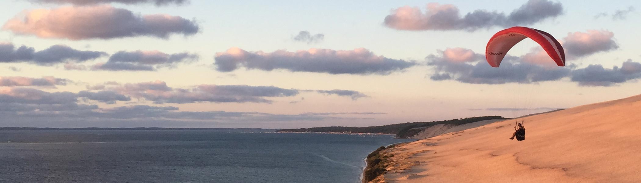
Decided to set off from the campsite at sunrise and headed straight down the coast. The scenery was quite varied, ranging from the small fishing ports and coastal inlets found near Les Moitiers-en-Retz, cycling along the top section of what appeared to be man-made levees built to prevent coastal flooding, through pine forests, and in the latter part of the day, going through built up beach resorts. Some seemed to stretch for miles along the beach.

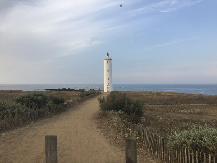
Initially I had planned to take the cycle route over to Île de Noirmoutier and then continue further south back to the mainland along the other bridge. It wasn’t until I reached the most northerly crossing point that I discovered that this causeway flooded at high tide, and was actually impassable at the point I arrived, as it was fully submerged. Warning signs were present just before the causeway. This presented a good opportunity to have a crepe and consider what type of detour would be needed. The area was quite low lying and flat at this point, but later in the day, through the pine forests, the terrain had more hills.

Considering I hadn’t made a booking and some of the campsite receptions seemed to close fairly early, I started seeing what accommodation was available and there was a good selection on the route that I was on. Eventually after making some enquiries I found a campsite near the beach, on the outskirts of the town of Saint-Hilaire-de-Riez. After locating exactly where to pitch the tent, which turned out to be in a pine forest, and pitching it, had a very refreshing swim in the sea.

Distance: 45 miles

Maximum temperature: 32 degrees C

The beach at Les Moitiers-en-Retz at sunrise

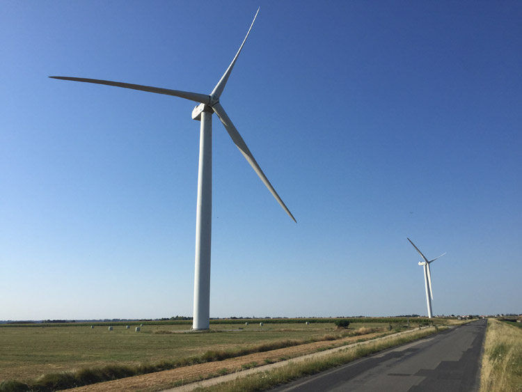
Coastal wind turbines

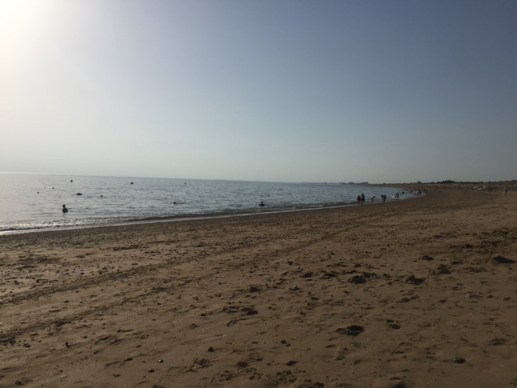
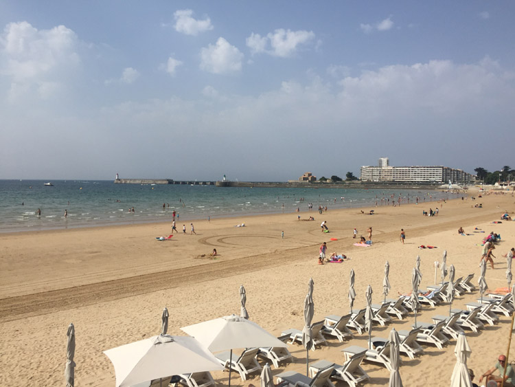
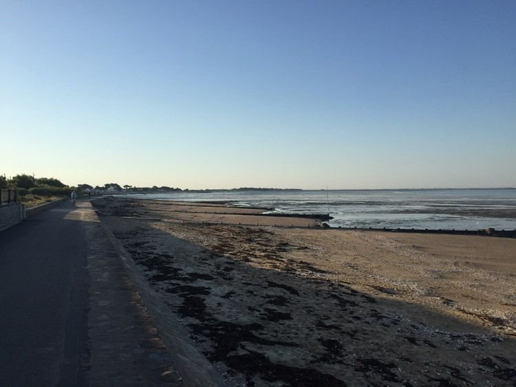
Beach at Saint-Hilaire-de-Riez

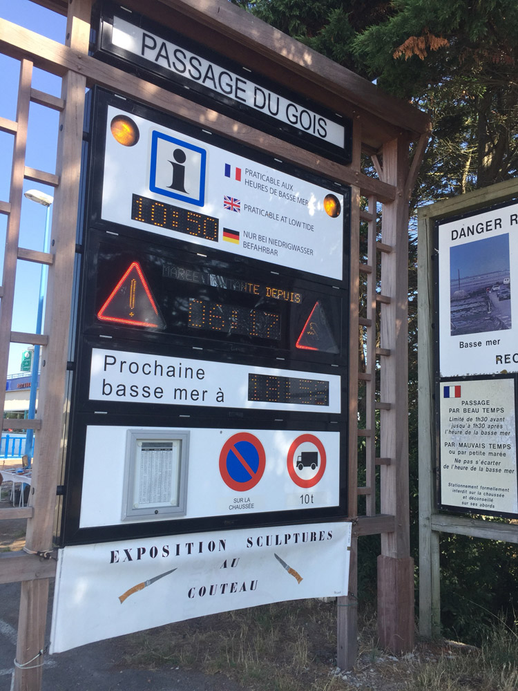
Sign at the Passage du Gois causeway to Île de Noirmoutier

Saint-Hilaire-de-Riez to La Tranche-sur-Mer

The weather was cooler than the previous few days when I left Saint-Hilaire-de-Riez, and it would remain relatively cool throughout the day. After the preceding heat it wasn’t unpleasant to encounter cloud cover and also the first light rain of the trip, during the morning. Looking at the time and distance given by the navigation apps I was hoping to reach a campsite near La Rochelle later the same day, but the windy conditions would mean it would take longer.

The route involved cycling along some beautiful coastal paths and the town of Bretignolles-sur-Mer felt particularly unspoilt. The resort town of Les Sables-d’Olonne had an impressive seafront and a long beachfront promenade.

I decided to have lunch in the port town of Bourgenay, overlooking the harbour. On the way there was a surreal holiday village with a accommodation, a lake and a golf course, and at one point I was cycling behind a golf buggy transporting members of staff around the resort.

When it became clear that it wasn’t going to be possible to reach a campsite near La Rochelle before it’s reception closed, I found one on the outskirts of La Tranche-sur-Mer with a dedicated section and price for cyclists. I walked in to the centre of the town later in the evening which was very pleasant.

Distance: 57 miles

Maximum temperature: 25 degrees C

Seafront at Les Sables-d’Olonne

La Tranche-sur-Mer

The port of Bourgenay

Bretignolles-sur-Mer

Plage des Casernes to Biarritz

Made my departure from the campsite at Plage des Casernes just before midday, and knew the journey to Biarritz would be a relatively short one. I passed through Capbreton, which had a nice harbour area, and stopped briefly at the tranquil Plage du Metro, then crossed the Adour river at the most westerly possible point at Pont Henri Grenet, and went through the industrialised outskirts of western Bayonne.

As I had been forewarned, the approach to Biarritz was relatively steep, with the whole town seemingly built on a hillside. It was nice to reach the town at last. The first campsite that I tried was full but luckily the one further out of town towards Bidart had availability.

I went in to the town centre in the early evening, visited the busy seafront at the Grande Plage where the surf looked particularly good, and explored some backstreets.

Distance: 32 miles

Maximum temperature: 22 degrees C

It was nice to see this sign at the outskirts of Biarritz

Port de Capbreton

Biarritz to Urt

The journey so far down the west coast of France had been fairly straightforward as it followed the excellent Eurovelo 1 cycle route. The planning and implementation of this route really impressed me and made me think how much effort must have gone in to developing this infrastructure and maintaining it. Especially in the busier southerly sections, it was good to see that it was getting such good use.

So far I had just followed this path south, now that I was turning east the route would be less obvious and more subject to change. According to my map there was a dedicated route almost to Lourdes and some more routes further east but not one that stretched directly to the Mediterranean coast. There was an easterly route further south from San Sebastián but it looked very mountainous. I was keen to see the mountains, and had already seen some peaks in the distance from Biarritz, but wasn’t sure how challenging the Pyrenees would be and wanted to keep my options open for the route depending on the terrain, traffic, and weather conditions.

I left the campsite and proceeded through Biarritz and through the centre of Bayonne which had an attractive historic centre with large city walls surrounding it. The city dates back to Roman times.

There was a very quiet cycle path running eastward from Bayonne running alongside the Adour river, this took me to a bridge which I crossed to reach Urt. Was pleased to find a very peaceful and rural campsite there with plenty of space, which I didn’t hesitate to check in to. The place was incredibly tranquil backing on to fields yet along with birdsong and the smell of neighbour’s barbecues I could hear the sounds of live Rhythym and Blues music coming from the annual town party nearby.

Distance: 20 miles

Maximum temperature: 24 degrees C

Grande Plage, Biarritz

Biarritz

Château Vieux, Bayonne

Bayonne

Camping at Urt

Estaing to Rabastens-de-Bigorre

Awoke to the coldest morning yet – the altitude was just under 1000 metres and there was a heavy dew. The mountains looked beautiful illuminated by the dawn sunlight.

I was aiming to reach a campsite roughly halfway to Toulouse, and went back the way I came down to Lourdes, which involved around 7 miles of continuous descent, and then headed towards Tarbes.

As the mountains became smaller and more distant behind me and the terrain flattened out, the temperature quickly warmed up, and I ended up checking in to a municipal campsite at Rabastens-de-Bigorre. It was by far the emptiest campsite that I had visited so far and there was plenty of space.

Distance: 47 miles

Maximum temperature: 31 degrees C

Estaing

St-Savin

Looking back towards the mountains near Lanne

Cala Llevadó to Barcelona

Really enjoyed the tranquility of Cala Llevedó which was an extremely relaxing location. It was situated upon a hillside and some of the construction of the surrounding buildings perched on the cliffs appeared to defy gravity. Someone pointed out the bats in the evening flying amongst the trees, and the beaches at the bottom of the cliffs were unspoilt with clear water for snorkelling with many fish. The beach shelved quite steeply and there was a noticeable current but it was possible to swim easily, and the water was pleasantly warm.

On the journey to Barcelona I passed through several resorts including Lloret de Mar, Calella and Mataró. I only stopped briefly at a few and there was a train line running alongside the beach in the latter part of the route. Often a graffitied train passed by with a loud rumble.

It was hard to ignore the politics of the area when the yellow ribbon, a symbol used by Catalan independence supporters to demand freedom for Jordi Cuixart and Jordi Sanchez, couldn’t be missed: it was often seen painted on the road, and was attached to fences and railings for miles, especially in Vilassar de Mar. Around Lloret de Mar, the Spanish flag was occasionally displayed in people’s windows / balconies.

After El Masnou, the scenery became much more built up and it became obvious I was entering the Barcelona area as some very tall buildings appeared on the horizon. The beach to the left continued to look pleasant and surprisingly empty from what I could see.

Around Montgat and Badalona some of the buildings started to look much older and more decorative. There was a good cycle path and large pedestrian areas that meant entering the city by bike was easier than I was expecting, and overall an easterly tailwind was welcomed.

Distance: 52 miles

Maximum temperature: 27 degrees

Cala Llorell

Barcelona