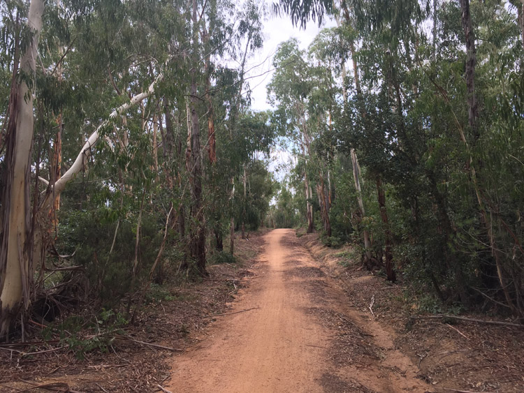
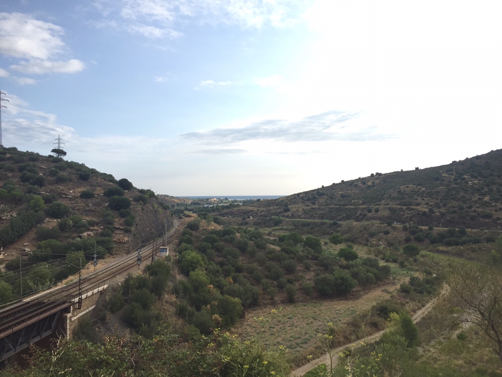
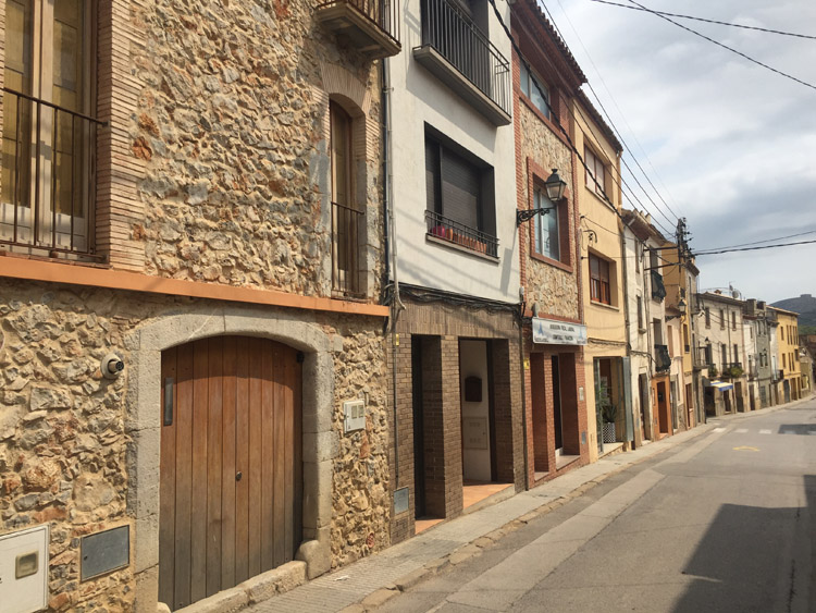
Most of the journey down to Tamariu was on the Eurovelo 8 route which I joined at Castelló d’Empúries, and that meant it was mostly on quiet roads with stretches of dedicated paths. Compared to the preceding days in the Pyrenees border area, it was relatively flat once I had got out of Llançà. The route wasn’t as well developed as the Eurovelo 1 but there was occasional signage. It went through some nice countryside and old villages which blended smoothly in to the landscape with their light orange stone buildings.
It was interesting to see the Pyrenees, which were still clearly visible, from the Spanish side of the border. Cacti appeared occasionally on the landscape as it became more barren looking, this was something that I hadn’t seen in France.
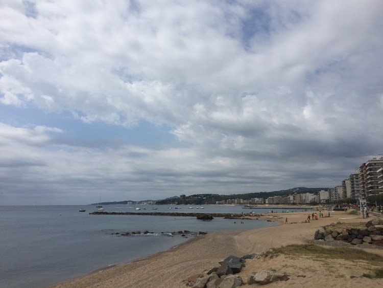
When I returned to the coast at Sant Martí d’Empuries, where there was a nice stretch of beach, there seemed to be a lot of French visitors. Excluding Catalan / Spanish (I had read that for 39% of Catalans, Catalan is there native language, and 97% understand Catalan), French seemed to be the main second language spoken amongst the people that I encountered. Catalan independence flags and symbols where a common feature of the ride, at one point when entering a town I went under a street banner with the text “Welcome to the Catalan Republic”. The Spanish flag was notable in it’s absence – in contrast to France with the frequent presence of the wind-swept Tricolore.
In the fields that I passed alongside were orchards, grain crops and sunflowers, with engine driven pumps providing water. Not having been to mainland Spain for a long time, the scenery was very new and interesting and varied and the cloud cover meant it wasn’t overly hot.
I was using the brakes a lot in the Pyrenees, this must have put pressure on the handlebar grips which were very worn. I stopped at a bike shop in Palafrugell to purchase some new ones.
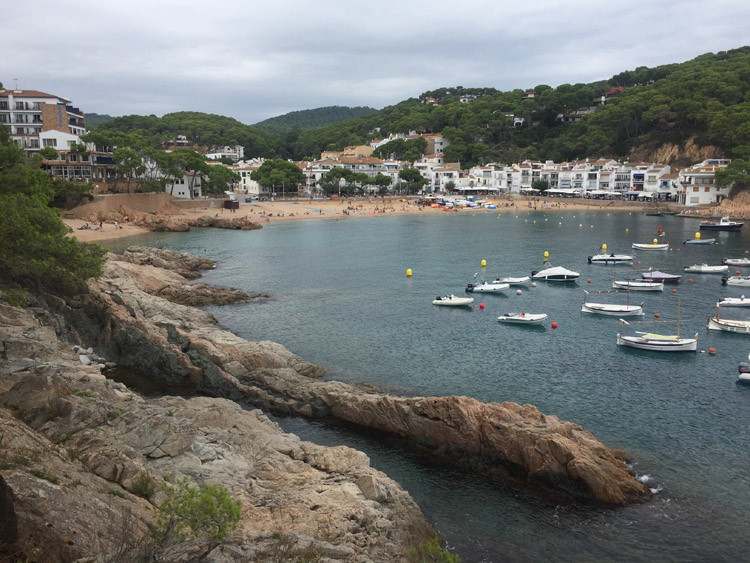
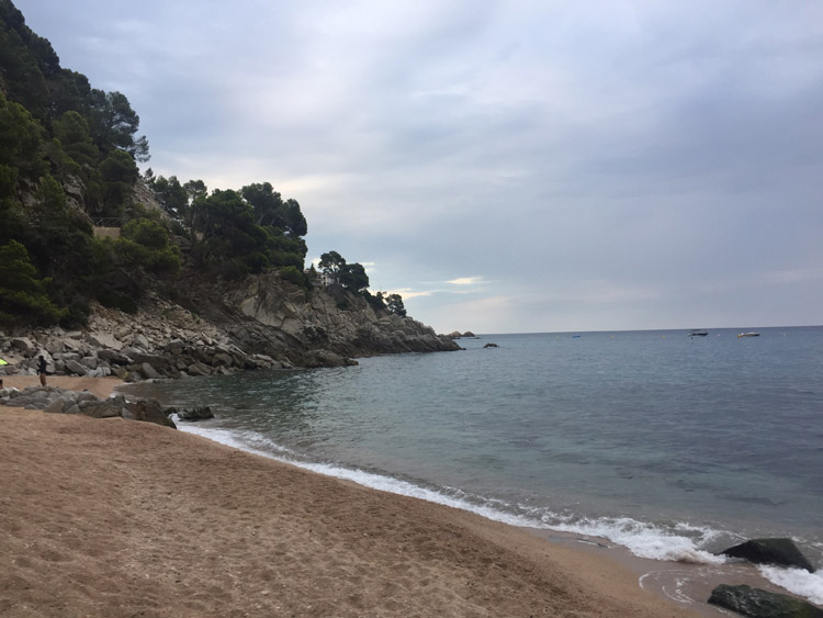
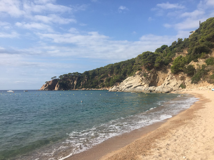
Upon arrival at the campsite on the coast at Tamariu, I discovered there was plenty of space and could choose an area for the tent. At the beach nearby was the clearest water so far.
Distance: 49 miles
Maximum temperature: 26 degrees C
Looking back towards Llançà
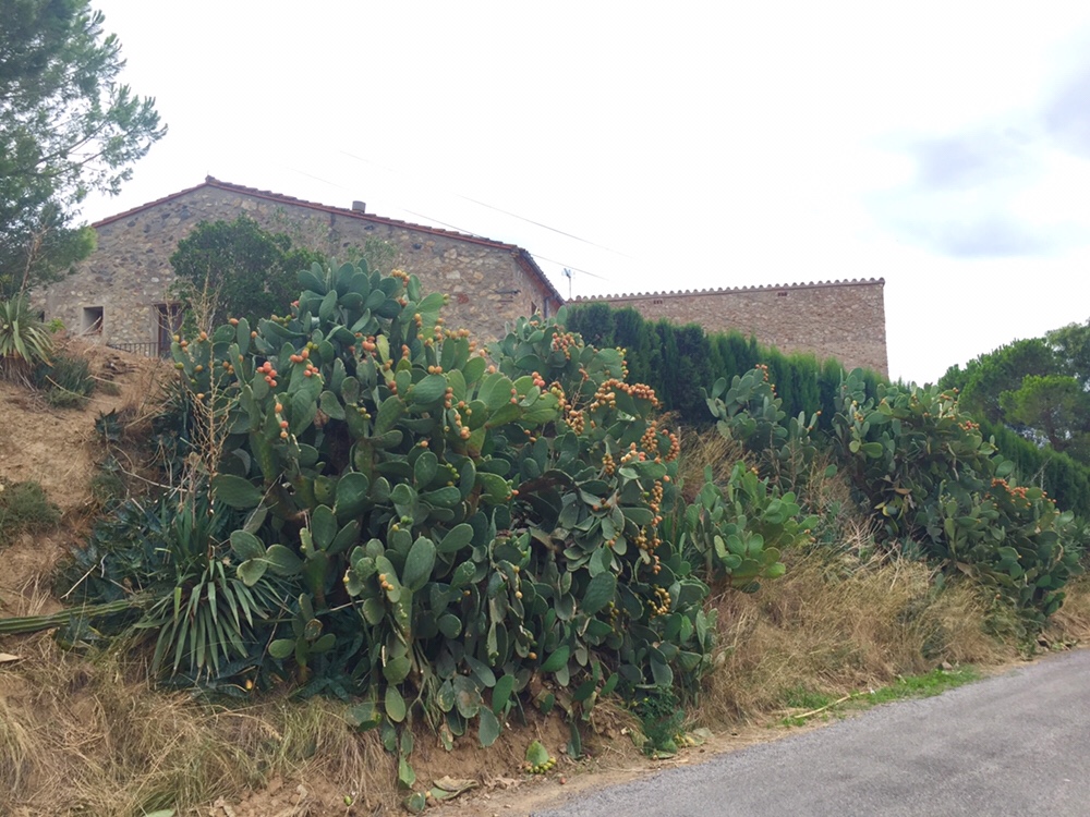
Cacti
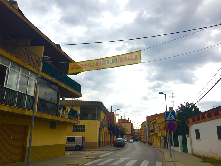
Catalan Street Banner
Catalonia, Spain
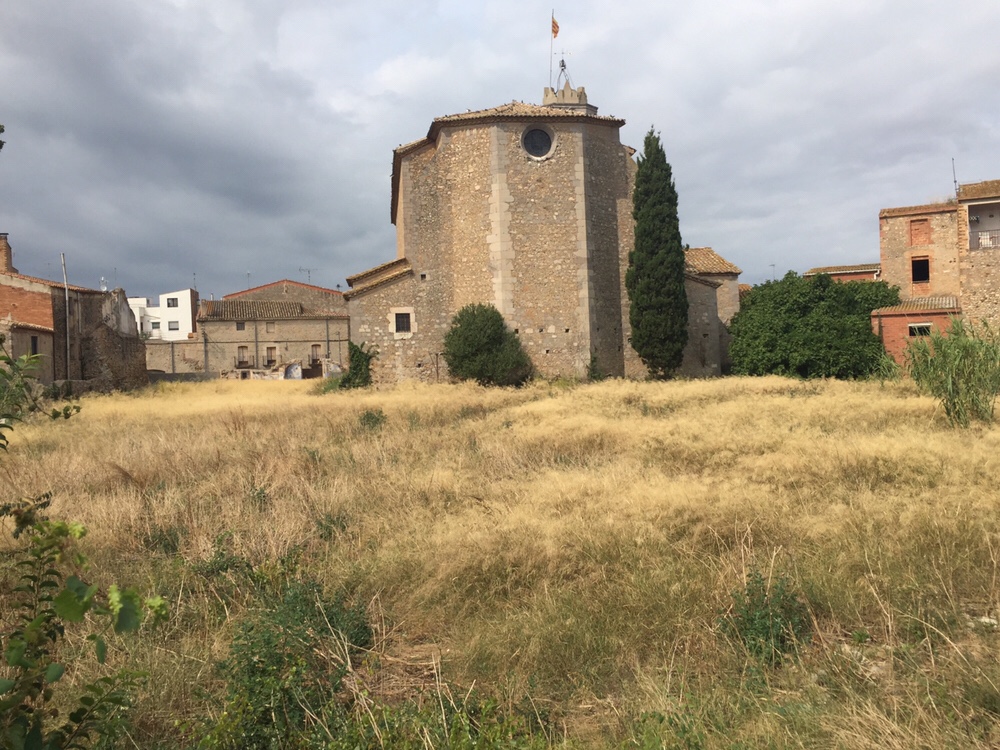
There was an old building on the top of the hill
Catalonia, Spain
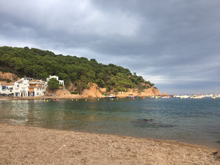
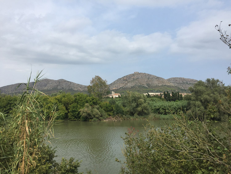
Tamariu