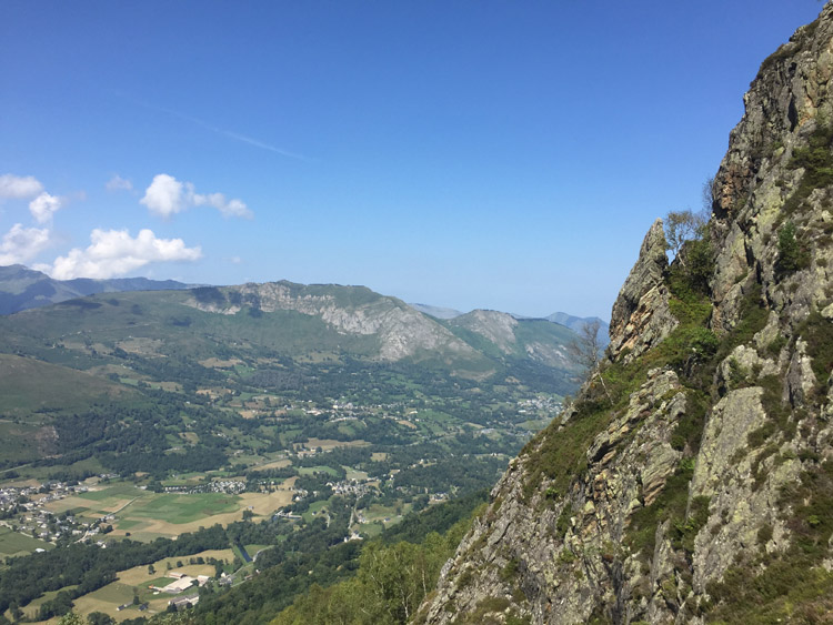
Decided to cycle from Rebastens-de-Bigorre to Tournay, and take the train from there to Toulouse where I spent the night.
Toulouse is the fourth largest city in France and the biggest city that I’d visited so far on the trip. The distinctive, intricately decorated red brick buildings and wide open spaces in the centre gave it quite a different feeling to the other French cities that I’d seen.
It made a nice overnight stop on the way to Carcassonne and had an afternoon boat trip on the Garonne river, and the old parts of the city were interesting to look around. The tourist information office provided a useful map of the Canal du Midi.
Early the following morning, after a Torsade pastry, I cycled to the Canal du Midi which had a good cycle path adjacent to it and it was easy to follow in a southeasterly direction out of the city. Within the city and surrounding area it was fairly busy with commuters, and after about 7 miles the landscape around the canal changed to open fields, where the path would become less busy.
The tailwind from the west increased throughout the morning. As I approached Carcassonne the canal path narrowed and I used some small, more direct roads instead. Some of these passed right next to vineyards. Once I’d checked in to the campsite which was fairly close to the walled city, I had a look around that and the main city area, both of which were very pleasant. Carcassonne is the largest walled city in Europe, among those that still have their defensive walls intact.
Distance: 64 miles
Maximum temperature: 27 degrees C
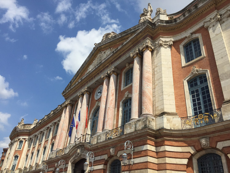
Place du Capitole, Toulouse
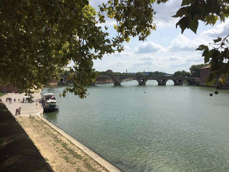
Le Pont Neuf, Toulouse
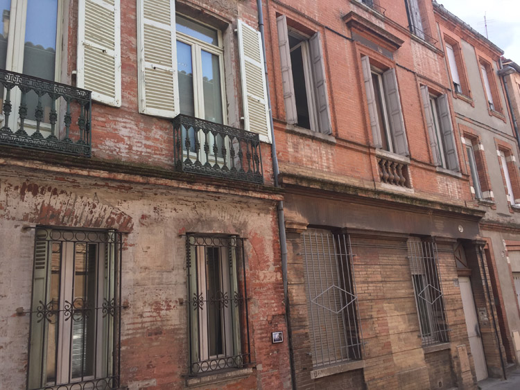
Toulouse
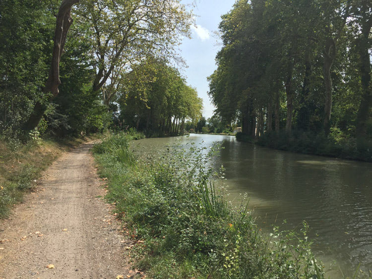
Canal du Midi
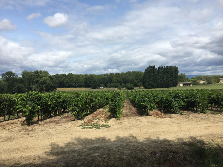
Vineyards near Carcassonne
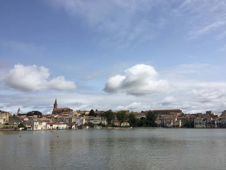
Castelnaudary
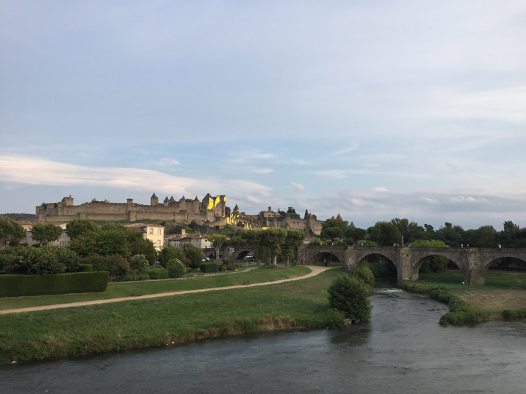
Carcassonne walled city, parts of it temporarily had yellow patterns mounted on the monument to celebrate UNESCO status