Cala Llevadó to Barcelona

Really enjoyed the tranquility of Cala Llevedó which was an extremely relaxing location. It was situated upon a hillside and some of the construction of the surrounding buildings perched on the cliffs appeared to defy gravity. Someone pointed out the bats in the evening flying amongst the trees, and the beaches at the bottom of the cliffs were unspoilt with clear water for snorkelling with many fish. The beach shelved quite steeply and there was a noticeable current but it was possible to swim easily, and the water was pleasantly warm.

On the journey to Barcelona I passed through several resorts including Lloret de Mar, Calella and Mataró. I only stopped briefly at a few and there was a train line running alongside the beach in the latter part of the route. Often a graffitied train passed by with a loud rumble.

It was hard to ignore the politics of the area when the yellow ribbon, a symbol used by Catalan independence supporters to demand freedom for Jordi Cuixart and Jordi Sanchez, couldn’t be missed: it was often seen painted on the road, and was attached to fences and railings for miles, especially in Vilassar de Mar. Around Lloret de Mar, the Spanish flag was occasionally displayed in people’s windows / balconies.

After El Masnou, the scenery became much more built up and it became obvious I was entering the Barcelona area as some very tall buildings appeared on the horizon. The beach to the left continued to look pleasant and surprisingly empty from what I could see.

Around Montgat and Badalona some of the buildings started to look much older and more decorative. There was a good cycle path and large pedestrian areas that meant entering the city by bike was easier than I was expecting, and overall an easterly tailwind was welcomed.

Distance: 52 miles

Maximum temperature: 27 degrees

Cala Llorell

Barcelona

Barcelona

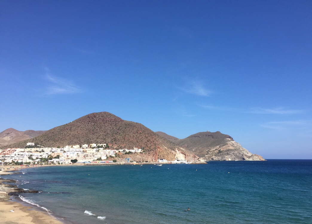
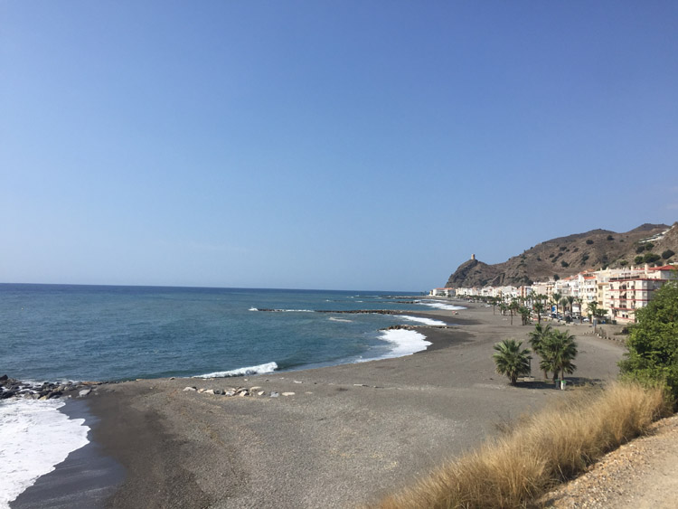
Spending 3 nights in Barcelona provided time to visit some of the cities numerous attractions and a deeper insight in to Catalan history and culture.

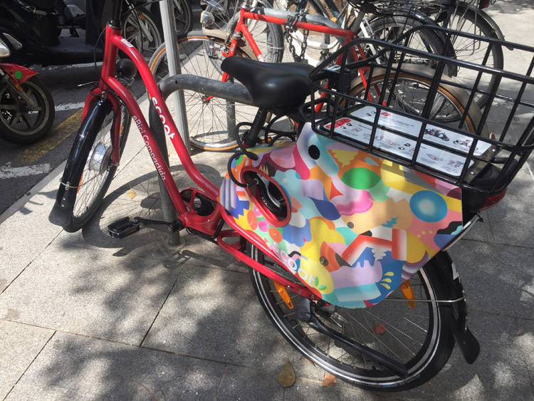
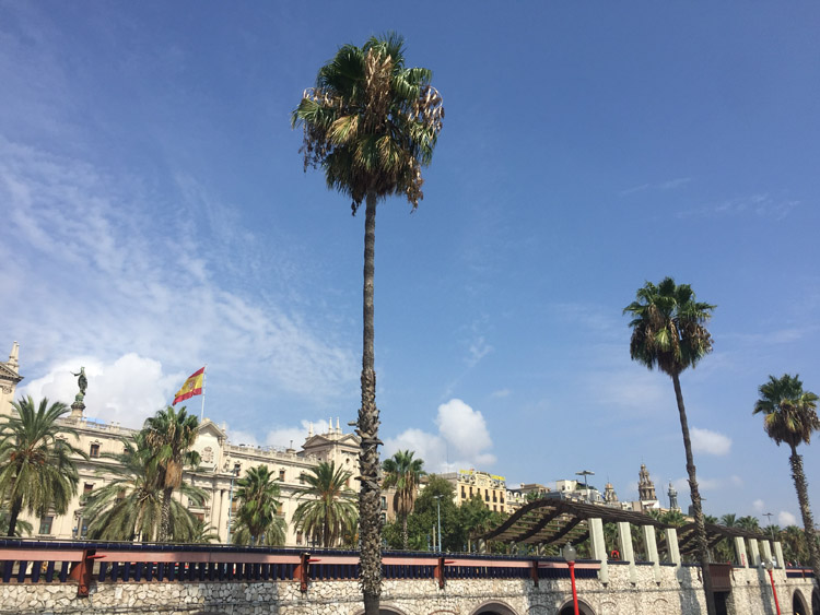
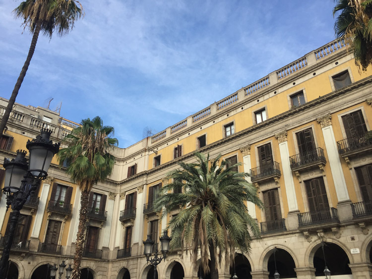
With a population of 1.6 million, Barcelona was by far the largest city that I’d visited so far on the trip, and apparently the city has the sixth most populous urban area in the EU. With it’s grand buildings, museums and art galleries, gothic quarter, shopping districts, multiple parks and the beach and harbour areas, each district that I visited felt quite unique. The bakeries rivalled those I’d found in France. The Xuixos which originated in nearby Girona were new to me and were especially enjoyable. The subway system meant getting around was easy. I was staying near a police station and besides the heavily armed officers standing outside the door noticed it’s long queues at the reception desk as I walked past. I was glad the place I was staying let me put the bike in their locked storage area where it would remain for the duration of my stay.

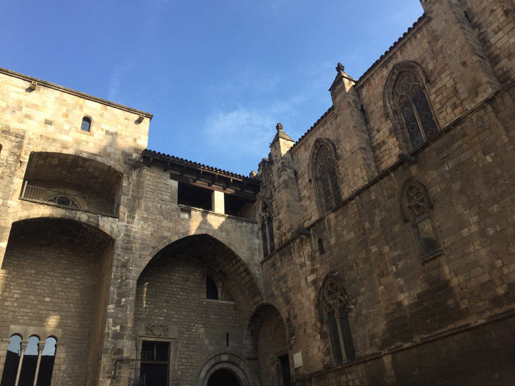
Once I’d visited Gaudi’s famous Sagrada Familia, a long walk from the city centre, I headed to the Picasso Museum in a mediaeval mansion in the narrow streets of the Gothic Quarter. This contained a big collection from the artist’s early years and mostly comprised his more realistic and less abstract work, along with many sketches and preliminary drawings. There was also some examples of his later work in the style that he pioneered, Cubism.

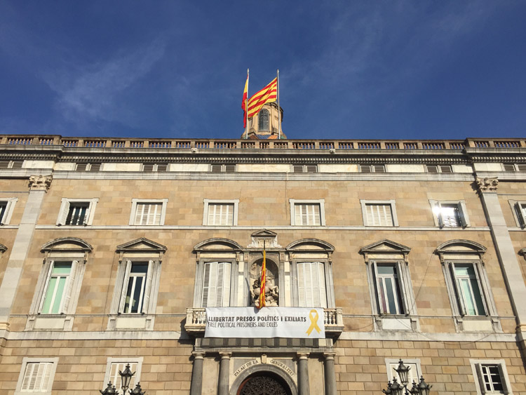
Interested to learn more about the area, the History Museum of Catalonia provided a great overview, detailing the story of the region from prehistoric times onwards, and it’s relationship with it’s neighbours and invaders. It was interesting to discover how cities which I had cycled through like Perpignan were once part of Catalonia, and read about some of the myths surrounding the origins of the design of the Catalan flag. With sections about agriculture, trade, the Catalan language, and movement of people from one region to another, it was also interesting to reflect upon these things in relation to the areas that I had cycled through. There was a powercut in the museum by the time I had reached the 18th century section, and I’d already seen quite a lot of the exhibits, most of the lights went out and I left. This seemed to affect surrounding offices and businesses too. Overall the museum was fascinating to visit.

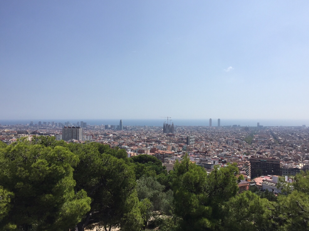
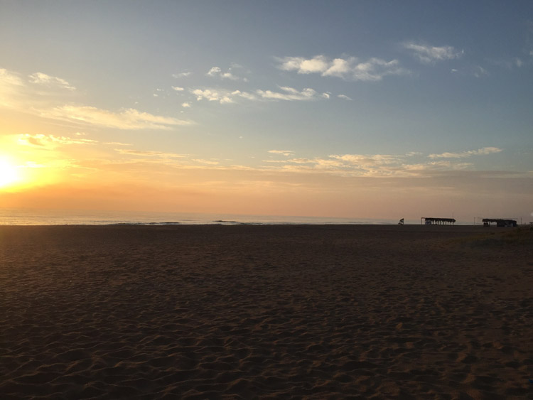
Parc Güell, designed by Gaudi, was situated on a hill which gave good views of the city from it’s highest point. Later in the afternoon I took the train to the long beach on the western side of the city, Platje de Castelldefels.

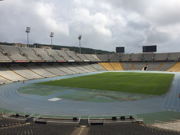
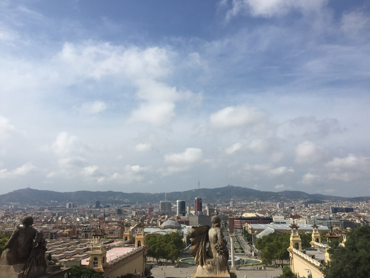
The Montjuïc area, which overlooks the vast port and most of the city, had many attractions, and the walk up the hill next to the Miramar Hotel through the various parks and gardens was very scenic. Montjuïc Castle was strategically positioned at the top of the hill. The Olympic Stadium, built in 1929 and renovated for the 1992 Olympic Games, was free to visit and the scale of it was quite impressive. Nearby was the palatial like Museu Nacional D’art de Catalunya (MNAC) with it’s enormous collection dating from Gothic times to the 20th century. There was also a good Dali exhibition with a few large scale surrealist pieces, and drawings and photos. The view of the city from the outside of the museum looking towards the Magic Fountain and Plaça d’Espanya was excellent. Official FC Barcelona shops where a common sight when walking around the city, along with plenty of unofficial ones containing Barcelona merchandise, and street vendors were selling sunglasses, trainers, handbags, ornaments and football shirts which were laid out on fabric mats on the street. I took the metro to the Camp Nou (often referred to as the Nou Camp in English). I didn’t go in to the museum or stadium and it was hard to get a very good impression of it from the outside, but given the significance of the club in the city and throughout the world, it was interesting to see it. On match days the atmosphere must be special and bring the whole area to life. The stadium was near the University of Barcelona. There was a large empty area surrounding the stadium, a ‘mini stadium’ next to it, and a large official shop.

The Barcelona Museum of Contemporary Art in the city centre contained some thought provoking and inspiring installations, photos, and films. The artworks were mostly created by Spanish artists, and exhibitions included “Beneath the Surface” and the work by a British artist, Melanie Smith, featured some interesting aerial photos of Mexico City, which formed part of a larger project featuring the city.

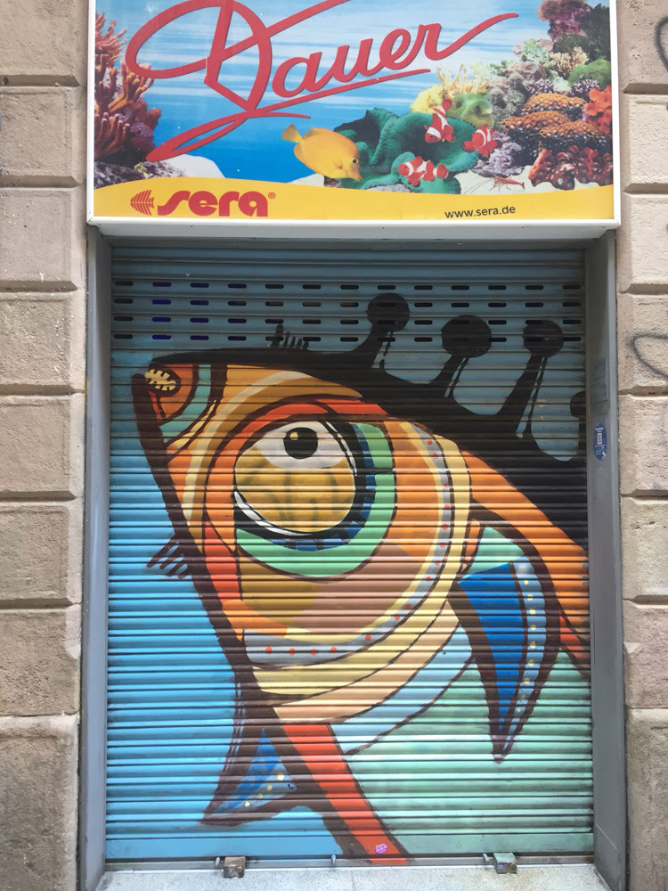
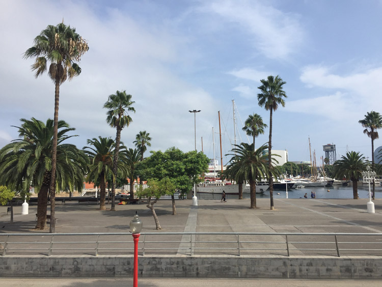
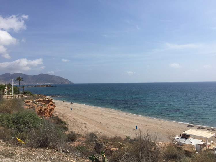
In the area surrounding the museum were some nice independent shops and street art. It was great to spend the afternoon wandering around the city looking at the shops and walking over to the beach area of Barceloneta. A thunderstorm then occurred, so I sought the shelter and good food of a Tapas restaurant before catching the overnight ferry to Menorca.

Menorca

When the ferry docked in Ciutadella, the sun was still below the horizon and once I was instructed by a port official where to go after travelling down the ramp, and had left the port area and cycled towards the campsite, I quickly found myself in the countryside. There was very little noise or traffic on the roads, the white buildings and dry stone walls adjacent to the road seemed to perfectly match the landscape. Soon there was little sign of human habitation, let alone tourism. As the sun rose behind the clouds to softly illuminate the road, the scene felt completely the opposite to what I had left behind in Barcelona.

The seat on the ferry was comfortable but not particularly conducive to sleep and I was keen to find the campsite to get some rest. So I took the most direct route offered by Google, and eventually came to a gate which was manned by a gentleman who proceeded to warn me about the bus which would soon be travelling along the road. It struck me as strange that the road needed to be gated but carried on. Eventually the road narrowed to the extent that it became clear that meeting a bus could now be problematic.

Cycling was becoming more difficult and I looked down to discover the rear tyre of the bike was only partially inflated and must have a puncture. I was somewhat amazed that this was the first puncture and that I hadn’t had one sooner, especially in light of the many fragments of glass I had unavoidably cycled over on the edge of the roads in France. It didn’t take long to locate the offending thorn and replace the inner tube, or maybe it just felt like that because the bus I’d been warned about had passed by several times in either direction, and by the time it was fixed, it was broad daylight.

A stone type of stile like barrier – to stop vehicles and allow pedestrians – would necessitate removing the panniers temporarily. Two men on mountain bikes going the other way (who hurriedly made traversing the stile look easy) provided reassurance that I was heading towards a campsite.

Eventually I arrived at the campsite and checked in, then visited the beach at Cala Galdana. The beach was in a sheltered cove and the sand and water had a slightly green tinge.

It wasn’t until the next day that the sun came out and I cycled down to the more remote Cala Mitjana first thing in the morning, then returned to Cala Galdana which looked stunning in the sunshine and still being early, almost empty.

Once I had packed the tent I left the campsite and cycled to Ciutadella, where I caught the fast ferry to Alcudia in neighbouring Mallorca.

Cala Galdana, Menorca

Cala Galdana, Menorca

Ciuatadella, Menorca

Xeraco to Altea

The scenery on the ride south to Altea was quite varied and spectacular at times. The first half of the route was fairly flat and the second half involved gradually climbing up to 900 feet.

There were quite a few cyclists on the roads and motor traffic was banned on the excellent Via Verde linking Gandia to Oliva, which had orange groves either side of it (with oranges that were actually green) and it seemed to be an old road converted to a pathway.

I cycled passed the busy market in Oliva which stretched for a long distance down the promenade, then went through Oliva Nova.

The climb up in to the hills near Gata involved cycling / walking the bike on an empty rough gravel path which followed a similar route to the motorway but was entirely segregated from it and the path tunnelled under it at times. The bike lacked mountain bike tyres and was loaded with luggage, some of the rocks were fairly big, the bike was unbalanced and the tyres lacked traction so I didn’t mind the walk. There was a steep sided gorge and very nice scenery. The pace quickened when I was able to get back on the bike as the roads became sealed again just before Benissa, one of the oldest towns on the Costa Blanca with it’s traditional Spanish houses. There was a very enjoyable long descent down to the coast with excellent sea views looking towards Calpe with it’s enormous 332 metre limestone outcrop, Penyal d’Ifac. There were a lot of houses on the hillsides, and the road then went through a few small tunnels before reaching the sea at Altea. There was a nice section of cycle path along the seafront and eventually I reached the campsite, where most of the vehicles had Dutch number plates.

Distance: 50 miles

Maximum temperature: 29 degrees C

Sunrise at Xeraco

Gorge near Gata

Gorge near Gata

Looking towards Calpe and Penyal d’Ifac

Calpe

Calpe

Cartagena to Mazarrón

There wasn’t a coast road on the first half of the ride to Mazarrón, so I followed the road from Cartagena up in to the hills, where the scenery became increasingly rugged looking.

I passed through some small villages with traditional looking houses, then after reaching the highest point, enjoyed the excellent view which stretched for miles along the Costa Calida and then descended towards Puerto de Mazarrón. This view was a nice surprise and one of the best views that I had seen so far on the trip.

Upon reaching the campsite, I chose a space to put the tent which was next to the quiet beach that was adjacent to the campsite.

Distance: 21 miles

Maximum temperature: 29 degrees C

Descending towards Puerto de Mazarrón

Coastline near Mazarrón

Beach near Mazarrón

Playa de Bolneuvo

Las Negras to San José

There wasn’t a definite destination planned when I set off from Las Negras, I just decided to head in the direction of Los Escullos then San José, and perhaps further south west.

Still within the Cabo de Gata national park, Los Escullos was a small village with a few hotels and restaurants alongside the long beach.

It wasn’t much further to San José, the largest town in the national park. With it’s white buildings, harbour area and pleasant beach it was instantly likeable and I decided to stop for the lunch there, and booked a room for the evening. Architecturally it was amongst the most stylish of the towns that I had visited in Spain. Perhaps owing to the dry climate, cacti weren’t just a feature of the natural landscape, some residents also grew several varieties in their gardens.

The main beach in the town was nice but busy so I walked firstly to Playa de los Genoveses then to a small beach further along the coast only accessible by walking down a steep rocky path or by boat. It was much quieter than the other beaches and had nice clear water which made swimming there very enjoyable.

Walking back I noticed that the features of the terrain of the national park such as the rugged hills, volcanic looking rocks and the various plant species were quite unique and unlike any other region that I’d visited.

Distance: 14 miles

Maximum temperature: 30 degrees C

Cabo de Gata National Park

Cabo de Gata National Park

San José

Cabo de Gata National Park

Cabo de Gata National Park

Playa de Los Genoveses

Adra to La Herradura

The temperature in the morning started off relatively cool, but was quick to rise in the strong sunshine and once I had passed through the busy town of Adra, the route went alongside the coast for most of the day.

The coastal scenery varied from grey isolated beaches to steep cliffs, to beachfront resort towns, where there were some fairly large waves.

I stopped in the middle of the day in Castell de Ferro, for a rest and to get some water and ice, then by the middle of the afternoon the air temperature cooled slightly as the cloud cover increased.

Entering the Granada province, the area of coastline was called the Costa Tropical. The Sierra Nevada mountain range extends to the coast here and the landscape was notably greener. The mountains looked impressive and the highest parts of them were covered in cloud.

The largest single climb was right at the end of the day, with the road winding up out of Almuñécar and then descending in to La Herradura where I was staying at the campsite.

Distance: 56 miles

Maximum temperature: 27 degrees C

Castell de Ferro

Playa La Rijana

La Herradura