Knowing it was only going to be a short ride to the next destination, Cartagena, I had a relaxing morning at the pool at the campsite with no rush to get packed and moving on the bike. It was a beautiful morning, and the route was entirely inland and fairly flat.
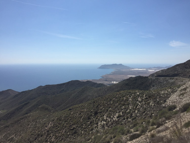
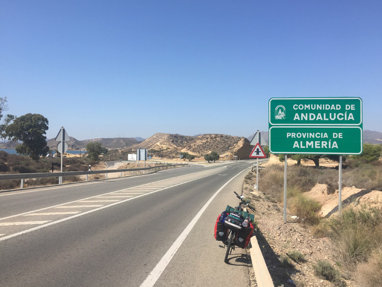
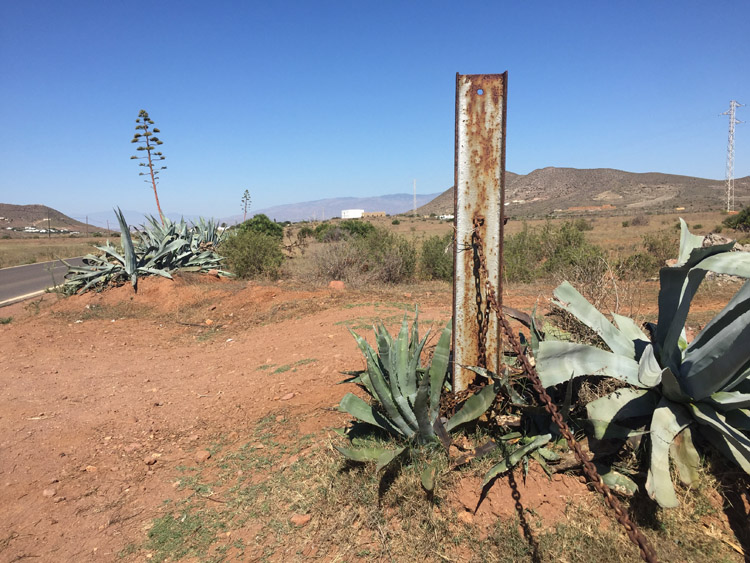
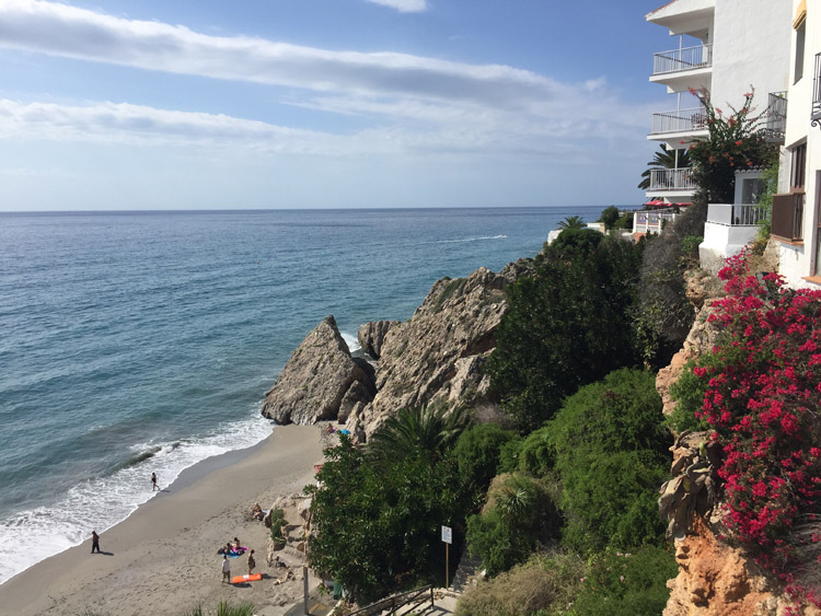
There were many hills on the horizon and occasionally palm trees but generally the landscape was very flat and barren, although there were some signs of agriculture with people working in the fields. As the latitude slowly decreased over the course of a few days, it felt as though it was getting hotter, and generally, cheaper.
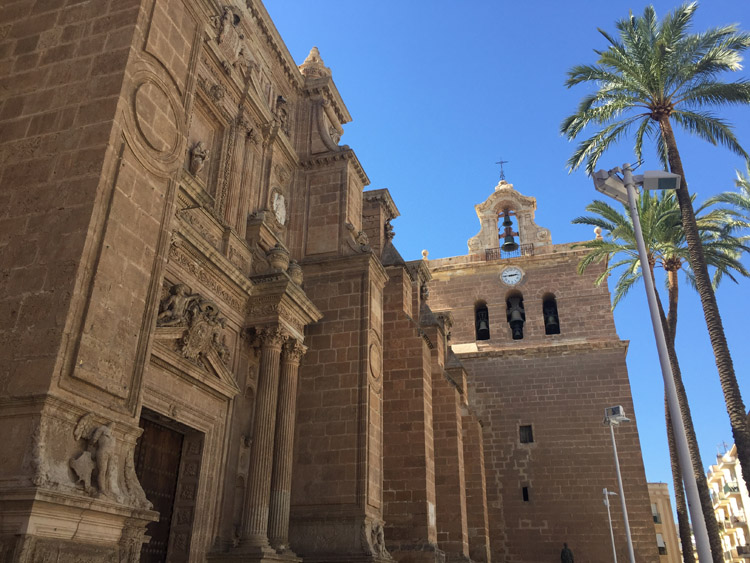
Cartagena had many busy streets and tall residential buildings as I approached the city centre and eventually I arrived at the apartment where I was staying for one night. It was nice to have the use of a fridge, freezer, oven, electric lighting, air conditioning and a good washing machine after mostly camping.
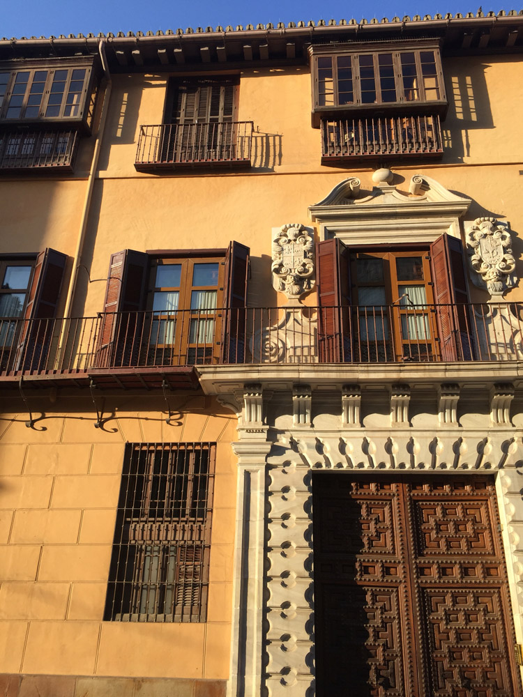
The city centre was full of character and had a lot of dilapidated buildings. Some streets had elaborate, very old looking facades which had clearly been preserved whereas the remainder of the building had been demolished. With just the front wall of the building left standing, this left them looking structurally precarious. Perhaps as a consequence of the siesta the centre felt very empty in the afternoon. I had finally memorised the Spanish word for ‘Open’ but after spending over 2 weeks in Spain the usual opening and closing hours of shops and restaurants was still a mystery.
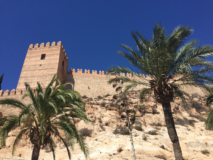
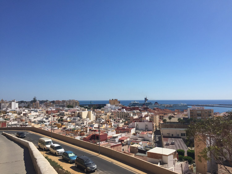
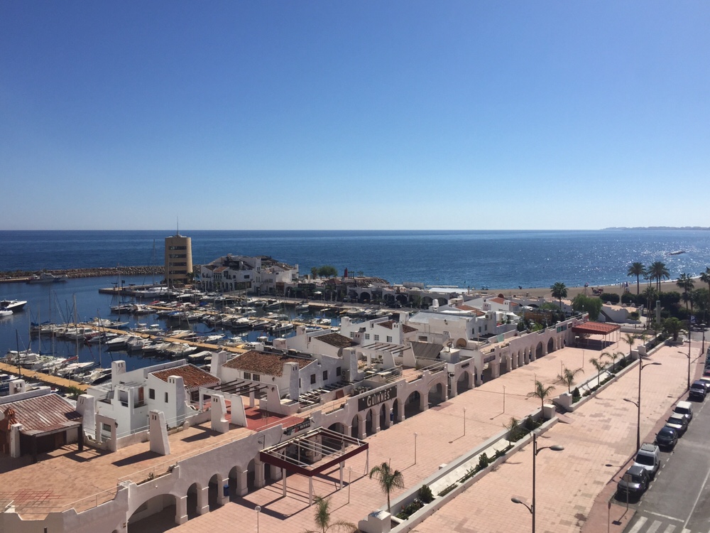
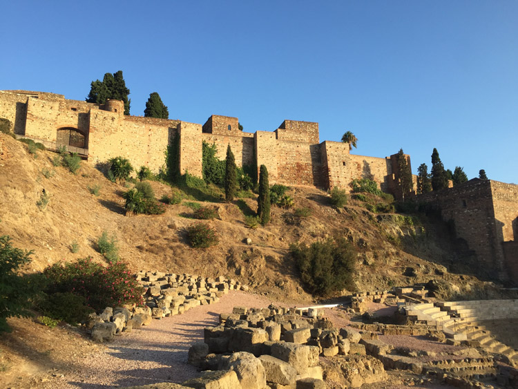
The lack of people was quite nice especially when visiting the Roman Theatre, the port area and Castillo de la Concepción which provided excellent 360 degree views of the city and the forts on the other side of the harbour. There was a large 3000+ capacity cruise ship called Celebrity Reflection in the port when I was there, with many passengers enjoying the evening view from their balconies, and by the time I had walked up to the castle at the top of the hill she had left the harbour and was heading out to sea to her next destination.
The following day I visited the Quarter of the Roman Forum, an excellent museum displaying the Roman ruins which you could walk around. The site had been excavated as recently as 2008.
Distance: 25 miles
Maximum temperature: 29 degrees C
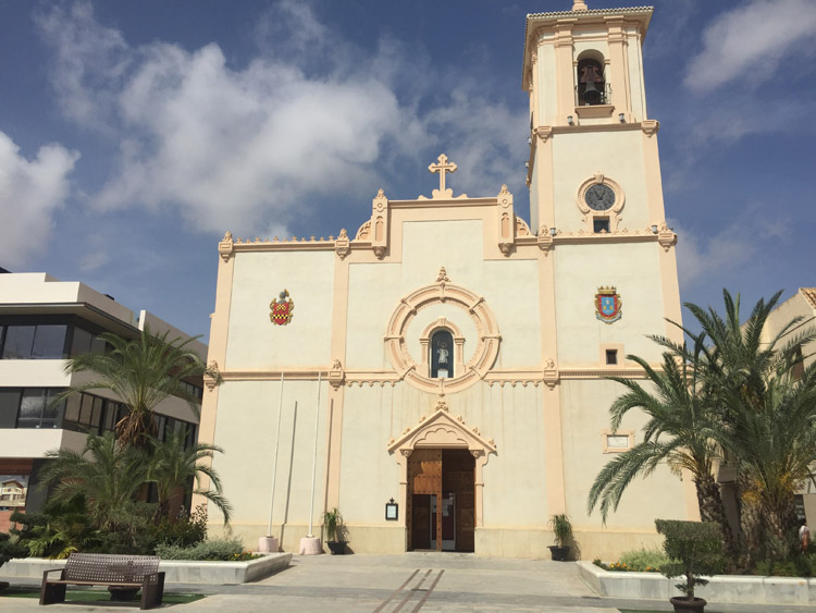
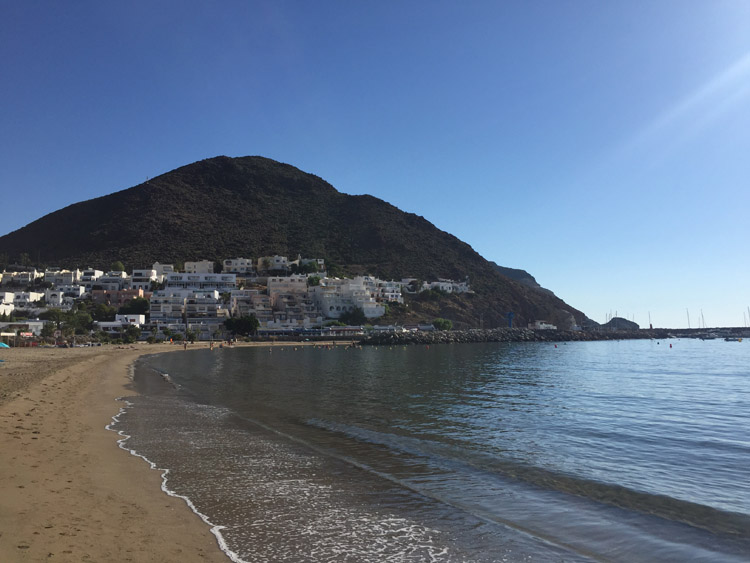
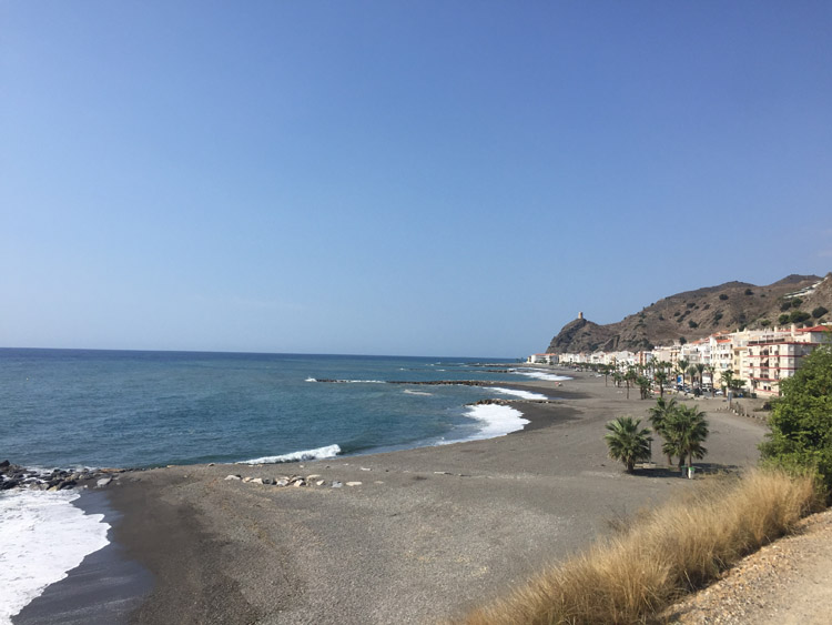
San Javier, en-route to Cartagena
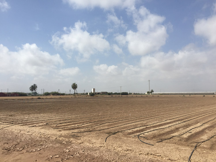
Torre-Pacheco
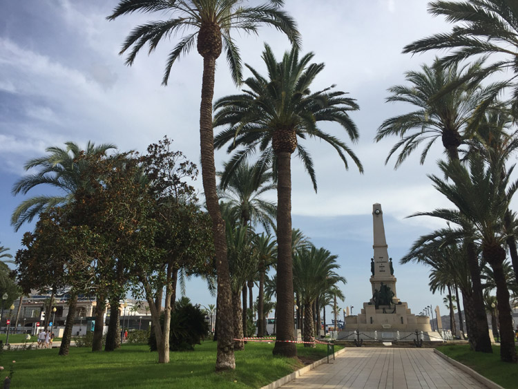
Cartagena
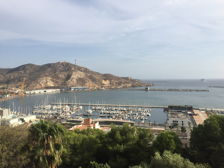
Cartagena Port
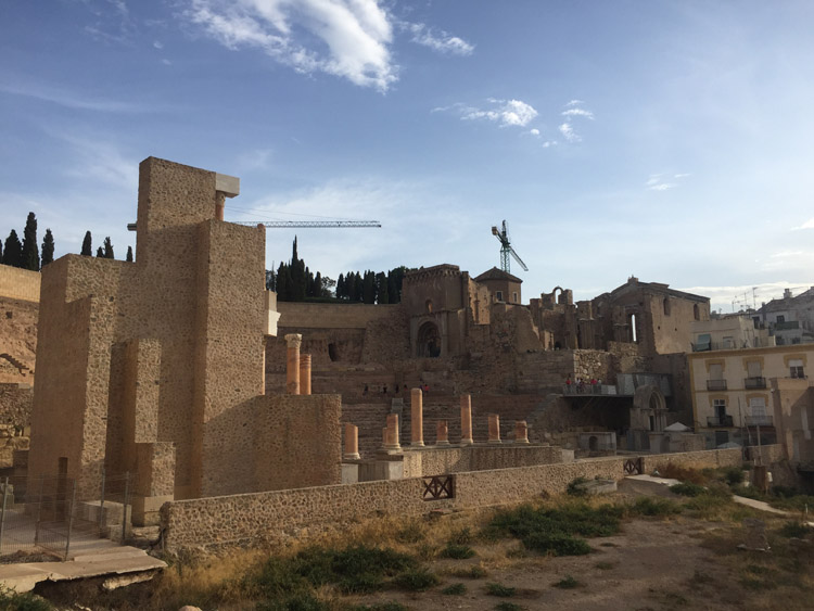
Roman Theatre, Cartagena
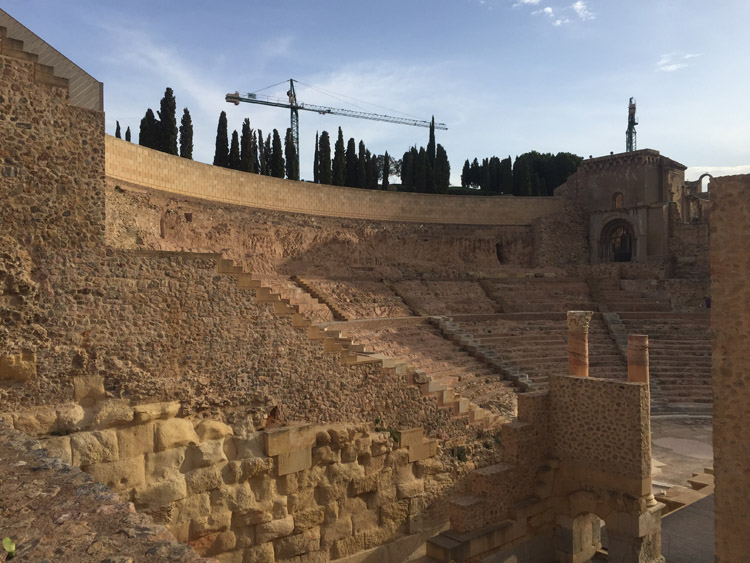
Roman Theatre, Cartagena