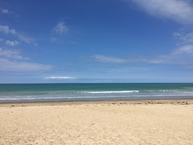
Left Carteret early in the morning and headed down the west coast of the Cotentin Peninsula towards Granville. The sea wasn’t visible for much of the route but stopped at Anneville-sur-Mer for lunch and swan in the sea there at a fairly empty beach which stretched right along the horizon.
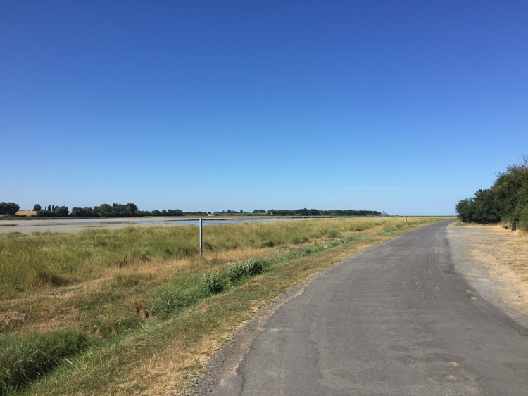
Later in the day much of the the area had an estuary type landscape and I cycled over several bridges on the journey south, most notably one running adjacent to the partially destroyed Pont de la Roque. Later discovered that the old bridge was bombed during the Second World War by British bombers in an attempt to prevent German forces from moving south towards Brittany. It has been left as a memorial and served as a visible reminder of the history of the area, and hasn’t been rebuilt since the bombing.
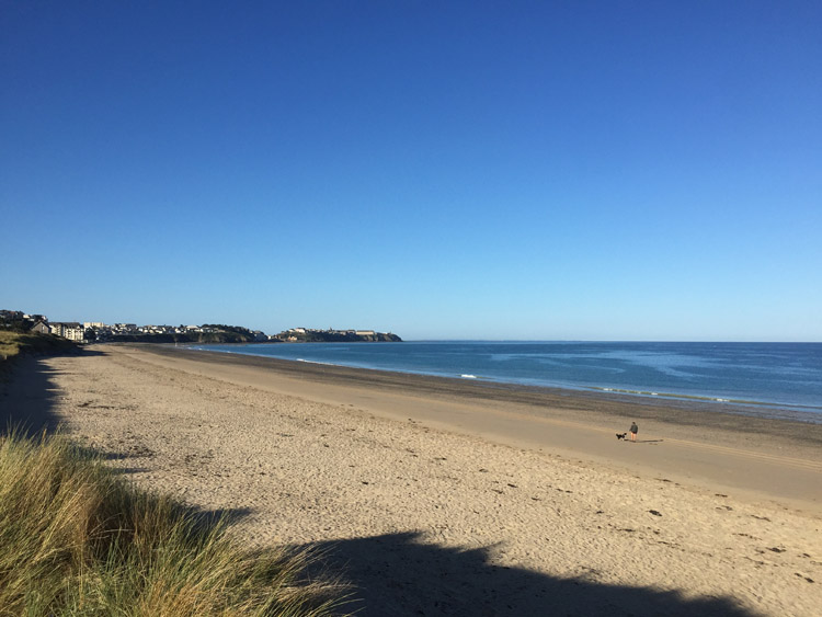
Arrived in the early evening at low tide at a campsite adjacent to the beach, just outside the former cod fishing port of Granville, which was just in sight further along the coastline.
Distance: 51 miles
Maximum temperature: 22 degrees C