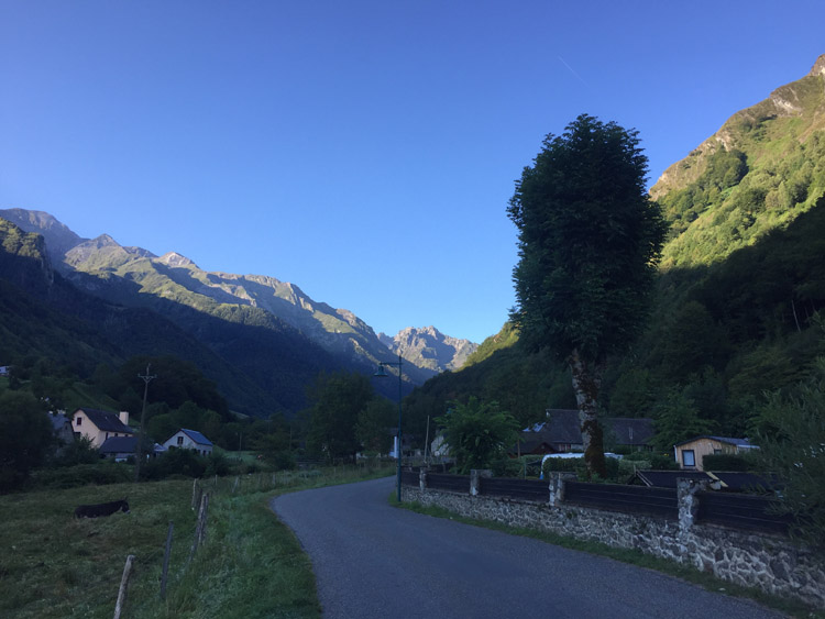
Keen to get up in to the fresh air of the Pyrenees, I left Lourdes at 8am and cycled southwest directly towards the Spanish border. It was a very clear morning which enabled an improved view of the distant peaks and fortunately there was a dedicated cycle route out of Lourdes which ran alongside the river. It started off fairly flat and then the gradient rapidly increased as the road wound it’s way up through the valley.
Some of the mountains in the distance now had shear rock faces rather than the mainly green, vegetation covered ones that I had seen so far. This gave them a more dramatic appearance.
On the peaceful ride up to Estaing I passed the sign for the Pyrenees National Park, it was still early and cool which made for pleasant cycling and the views were excellent.
Was pleased to find that the campsite I planned to stay at had space available and gave a generous discount to hikers, which they also applied to cyclists. It’s location in the valley provided good views of the surrounding mountains and it’s construction was in keeping with the local style.
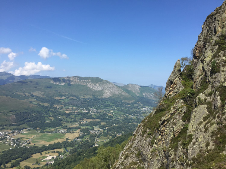
After locking up the bicycle and enjoying lunch at the campsite, I joined the GR10 path (which stretches from the Atlantic to Mediterranean coasts) and walked up to the 1461m summit of Pic de Pan. I had just seen this path on my map and had no idea what the terrain or difficulty would be like and in places it was hard to follow because the route was unclear. At the top the views were epic in all directions, and the vertical drop looking down was staggering.
On the descent back towards Estaing I passed an Auberge where I hoped to be able to get a drink, they were closed but kindly refilled my water bottle.
Distance: 16 miles
Maximum temperature: 24 degrees C
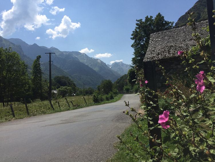
Estaing, Hautes-Pyrénées
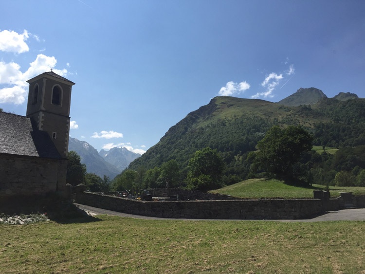
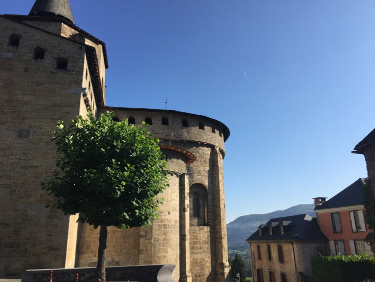
18th century church on the way to Pic de Pan
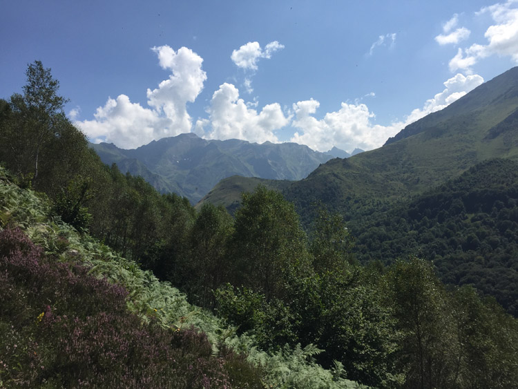
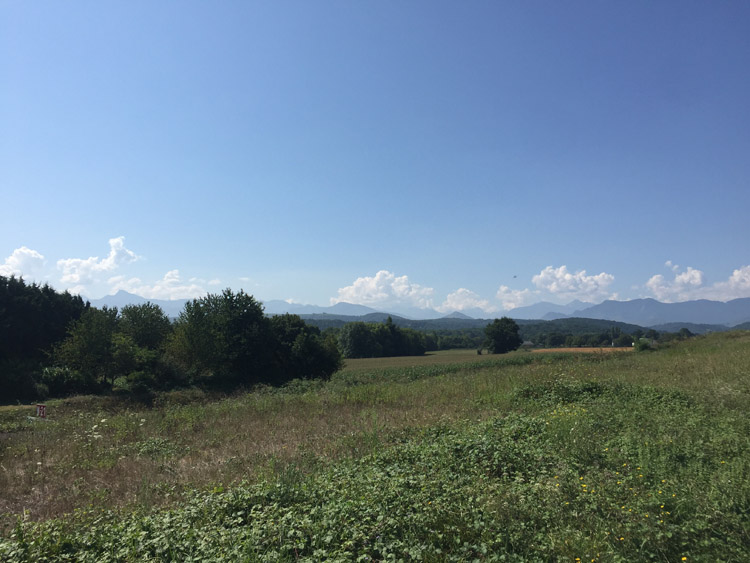
Views of the neighbouring mountains
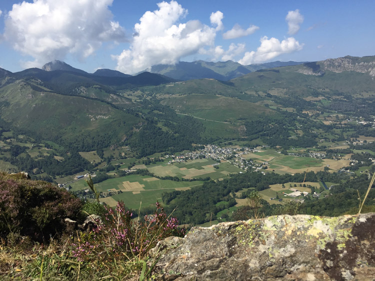
View from Pic de Pan
View from Pic de Pan