Guipry to Nantes

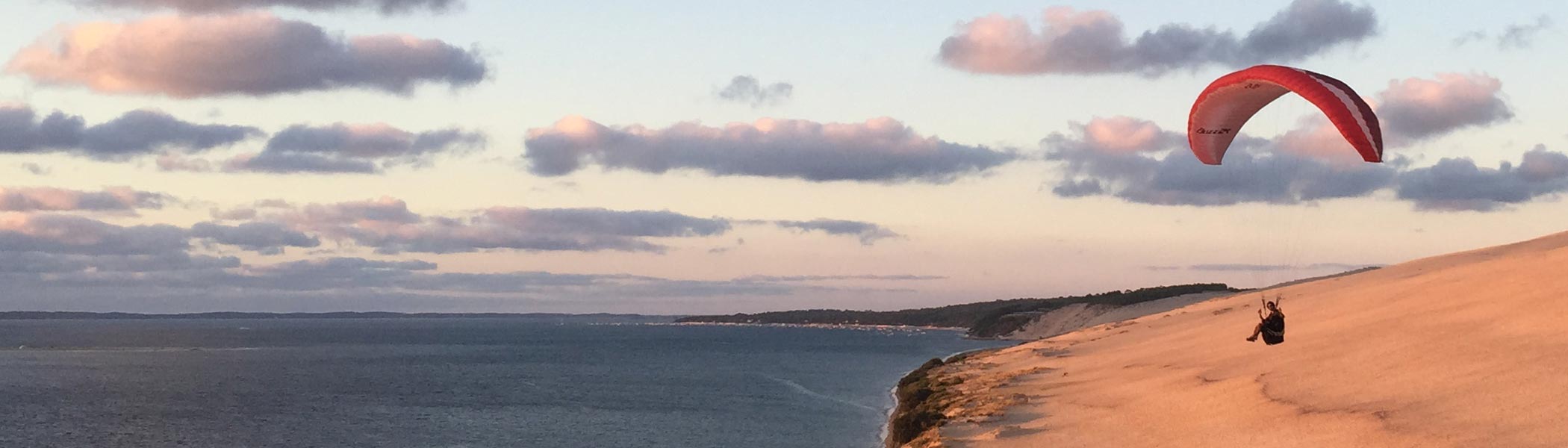
Decided to get up early before sunrise in order to pack the tent and then get on the bike whilst the air temperature was still cool. Was pleased to find that the 10mph wind was coming from the north and this helped with progress towards Nantes and it also had a cooling effect.

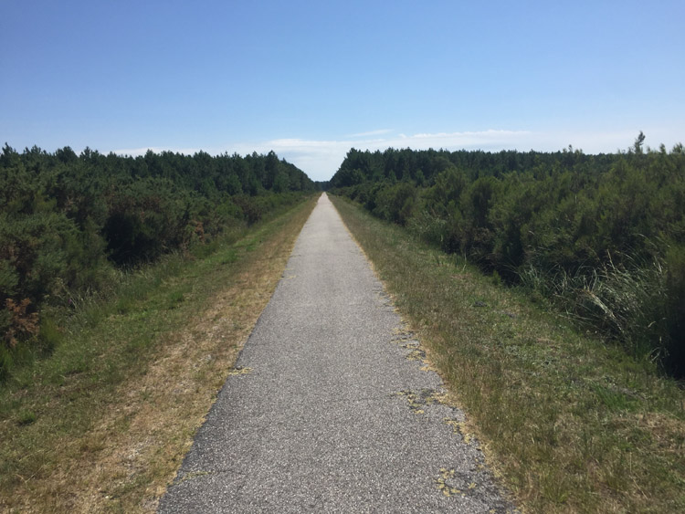
I stopped in a nice patisserie in the small town of Blain, after that the route was mostly along the early nineteenth century Nantes-Brest canal. Generally it was very quiet along the canal but as the first signage for Eurovelo 1 became visible I noticed an increasing amount of other cycle tourists. Tall trees provided quite a lot of shade on the canal path, and elsewhere there were some small sections of pine forest, open farmland and some nice long straight descents.

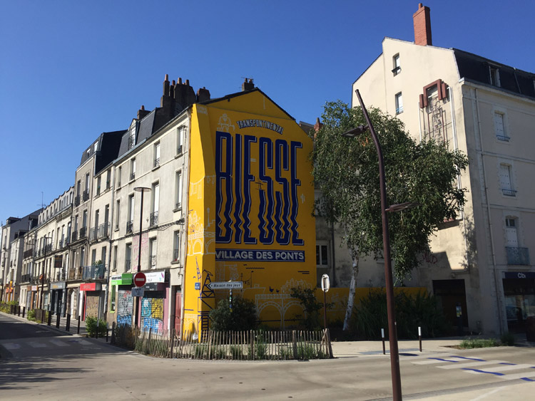
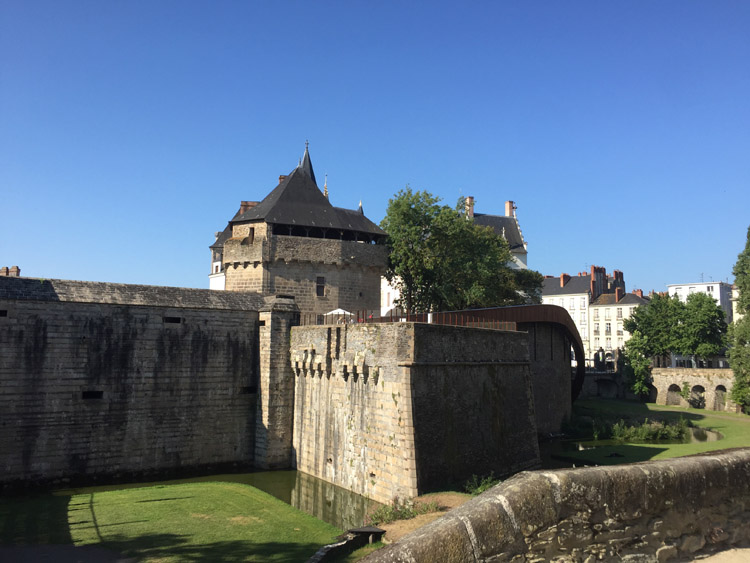
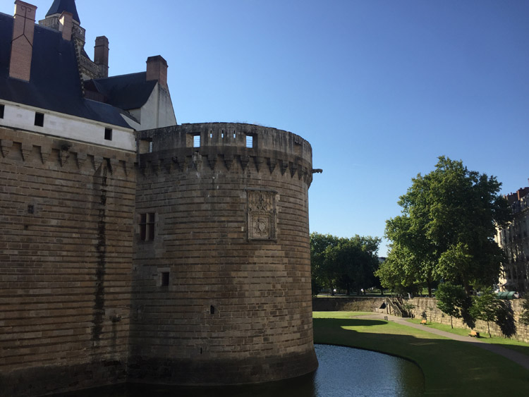
Upon reaching the outskirts of Nantes I found excellent cycleways alongside the road and these extended right in to the city centre. Thus far I have been fortunate to find that campsites had a place available without booking, however the Nantes campsite that I was hoping to stay in was full. Decided to stay in a hotel in the old town of Nantes which upon first impressions looks like a beautiful city.

Distance: 63 miles

Maximum temperature: 32 degrees C
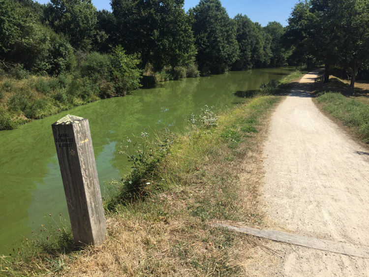
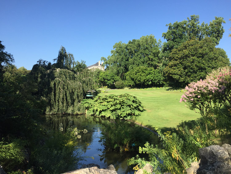
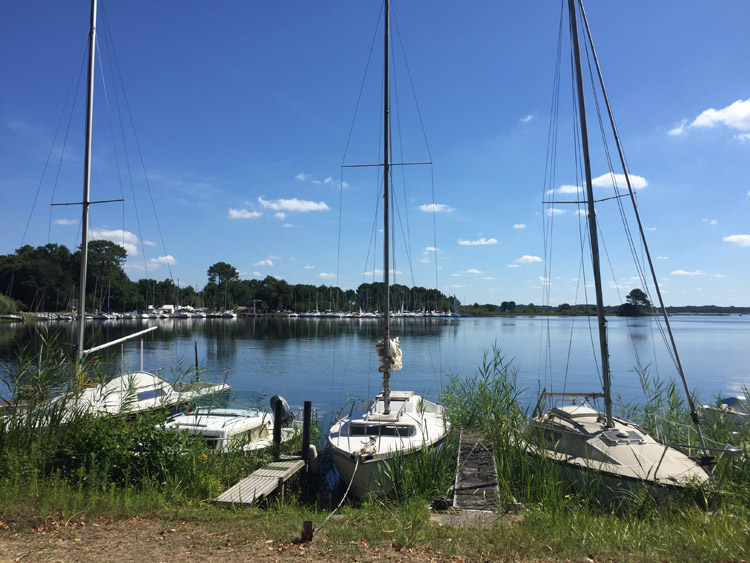
Nantes-Brest canal

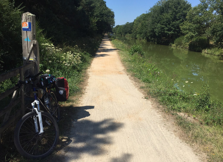
Signage for Eurovelo 1 started appearing on the canal path

Nantes to Les Moitiers-en-Retz

Nantes is the 6th largest city in France and was once it’s largest port. I spent the first part of the morning viewing the Chateau des ducs de Bretagne, Cathedral of St Peter and St Paul, and the Botanical garden in Nantes, and having a quick look at the quirky shops, bars and restaurants of the old town area, enjoyed the 18th century facades, and then departed towards the Atlantic coast.

Outside of Nantes, and now on the sunnier side of the Loire, there was a change in the architectural style of the housing compared to Brittany, most obviously in the roof style which was now terracotta coloured rather than the dark grey roofs I saw in Brittany.

Although now in the Pays de La Loire region there were still signs of Breton heritage around, with Nantes previously being Brittany’s old capital.

The cycling infrastructure getting out of Nantes was as good as the way in, but later on relying on the sat nav took me along a busy main road with what seemed to be traffic heading to the coast, ie campervans with bikes mounted on the back and cars piled with things. This queue later became fast moving and the segregated cycle lane had already disappeared. I diverted to much quieter roads, some of which were simply unpaved / gravel tracks, and there were many slowly rotating wind turbines dotted amongst the fields.

Seeing the coastline when I reached the Atlantic coast was exciting as it meant the route from now on would follow the Eurovelo 1 down the west coast.

During the evening I visited a restaurant in the main village, rehydrated and then watched the tide come in and the sun set over the Atlantic – to my surprise it was quite far out when I had arrived earlier in the day.

Distance: 30 miles

Maximum temperature: 33 degrees C

Nantes Botanical Gardens

Slightly unusual garden centre between Nantes and the coast

Nantes street

Chateau des ducs de Bretagne

Chateau des ducs de Bretagne

Beach adjacent to campsite at Les Moitiers-en-Retz

Sunset over the Atlantic Coast

Soulac-sur-Mer to Bordeaux

The sunrise over the ocean at Soulac-sur-Mer was picturesque, it was an easy early morning walk towards the beach from the tent pitch to view the sunrise over the sea. The beach stretched quite far, but further in to the day and further south, the beaches would appear to stretch even further and wider, where the coastline would become less curved.

The sea wouldn’t be visible for much of the route south as it involved travelling along very well constructed paved cycle paths through the pine forest. Often they looked newer and were in better condition than the adjacent roads. I only made 2 stops at the coast at Montalivet-les-Bain and Hourtin-Plage, where I stopped for lunch. Both of these places seemed to be popular with surfers, and the beach at Hourtin stretched impressively in both directions, as far as one could see.

Then I diverted inland further, going through Carcans and Lacanau, before turning almost due east to Bordeaux. The whole route was incredibly flat with only 452 feet of vertical ascent. After turning east I was expecting to encounter some vineyards as I approached Bordeaux. I didn’t see any, and it turned out that the wine regions are mainly found to the north, east and south of the city. The Lacanau – Bordeaux cycle route was very impressive, with a long, well surfaced dedicated cycle path, which is notably straight, with a cleared area a few meters to each side, and then lots of pine trees.

The hotel was in the north of the city close to a lake and it was a nice to see how the scenery changed on the approach through the suburban areas. The following morning I took the tram in to the centre.

Visiting the Tour Pey Berland, next to the cathedral, gave excellent views of the city and provided some historical insights. As did the Musèe des Beaux-artes with it’s large classical collection alongside some scenes of life in the city many centuries ago.

Distance: 82 miles

Maximum temperature: 26 degrees C

Sunrise at Soulac-sur-Mer

Hourtin-Plage

The Lacanau-Bordeaux cycleway

Bordeaux

Bordeaux

Bordeaux Cathedral

Bordeaux

Dune du Pilat to Cap de L’homy

The Dune du Pilat was very enjoyable and could have stayed longer but it was nice to get back on the bike again and cycle down the coast. I was informed that it was a public holiday in France and places would be busy.

The route was quite varied passing alongside a few lakes, surf beaches and significant forest in the inland sections.

Stopping at the spectacular beaches of Biscarrosse and Mimizan broke up the ride, there seemed to be some kind of event occurring at Biscarrosse with a large gathering of people on the seafront.

I reached the seaside village of Cap de L’homy by the early evening, where I visited the beach and stayed at the campsite.

Distance: 63 miles

Maximum temperature: 29 degrees C

Biscarrosse Plage

Biscarrosse Plage

Lake at Ispe

Cap de L’homy

Cap de L’homy to Plage des Casernes

Enjoyed a morning swim at the beach in Cap de L’Homy. Queued up to make use of the laundry facilities at the campsite where a German lady provided some advice about camping etiquette and traditions. She said that most of the German visitors, who based on vehicle registration plates and language spoken appeared to make up most of the occupants, were from the North Rhine-Westphalia area.

The cycle path continued mostly through forests, avoiding the towns and the majority of the traffic although I stopped to get some lunch at the boulangerie in the small village of Léon. It was a fairly short ride down to the next campsite near Plage des Casernes, where the afternoon became increasingly cloudy and later there would be some rain overnight.

Down at the beach kiteboarders were making the most of the strong northerly wind.

Distance: 29 miles

Maximum temperature: 23 degrees C

Plage des Casernes

Plage des Casernes