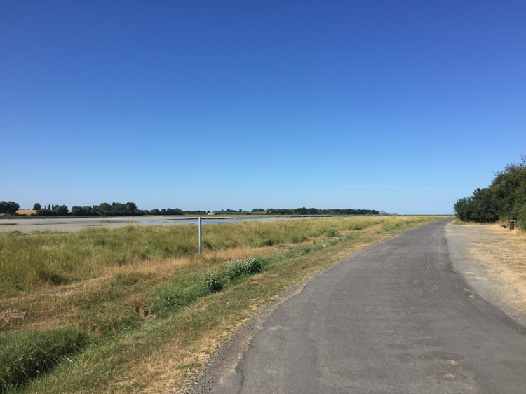
Departed southwards through the outskirts of Granville, aided by a small tailwind. The unmistakable outline of Mont St Michel came in to view in the far distance when going along a riverside path near Avranches. It would remain occasionally visible on the horizon whilst approaching Brittany.
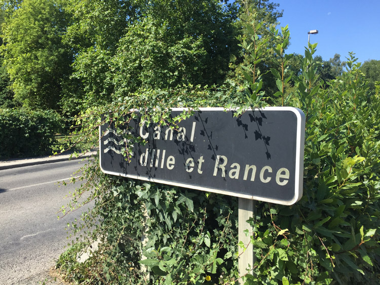
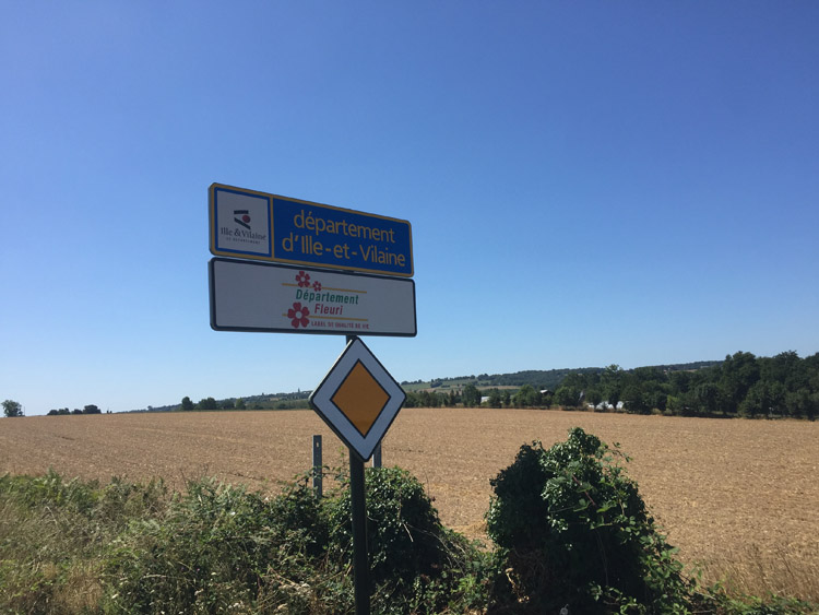
It was nice to reach the sign marking the border between Manche in Normandy and Ille-et-Vilaine in Brittany. Stopped for late lunch in the small town of Antrain, and then passed through several small villages before I reached the lakeside campsite near Feins. Had a swim in the lake there in the evening.
Distance: 53 miles
Maximum temperature: 30 degrees C
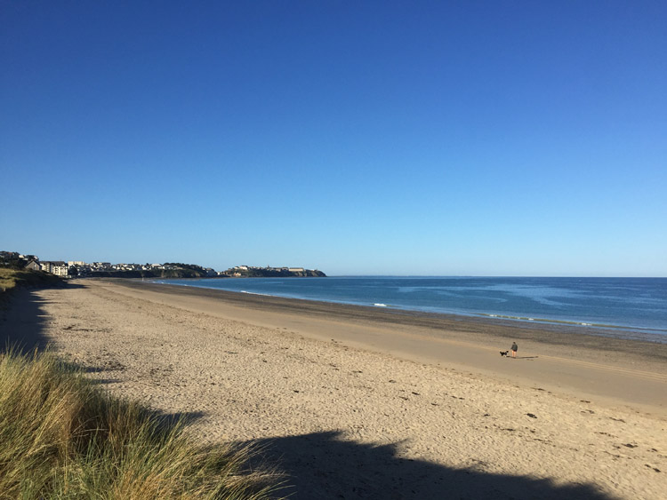
Looking towards Granville
First sighting en-route of Mont St Michel
Brittany / Normandy border