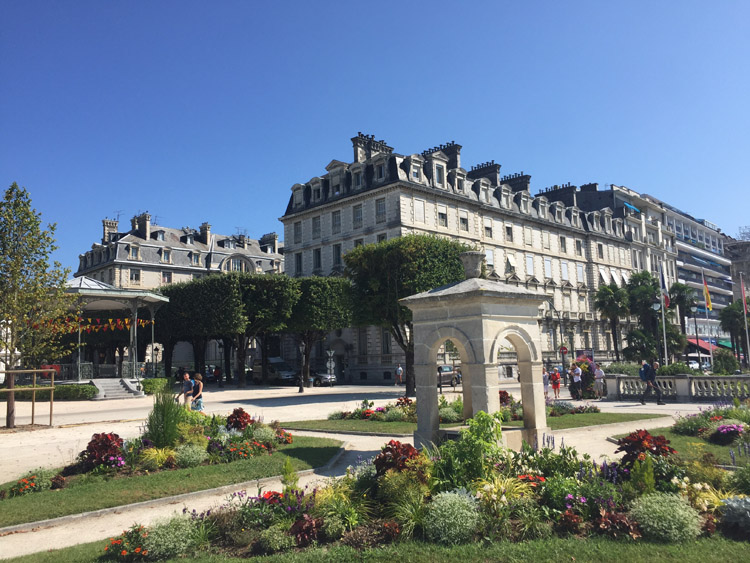
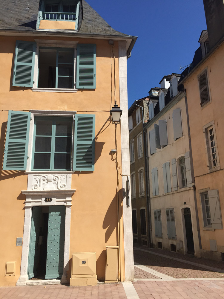
Once I had checked out of the hotel in the north of Pau I visited the attractive, historic city centre to find wide pedestrian areas, many nice shops and cafes, the Château de Pau, and distant views of the mountains from the Boulevard des Pyrénées.
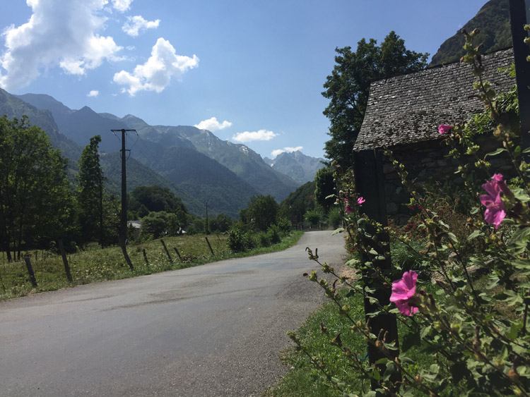
The mountains slowly became taller and more vividly coloured as I approached Lourdes from the northwest. The sky was mostly blue but the peaks attracted some clouds. After passing the Hautes – Pyrénées sign, which marked the border of a new departement, the mountains looked impressive and deeply blue / green.
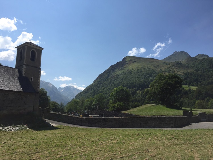
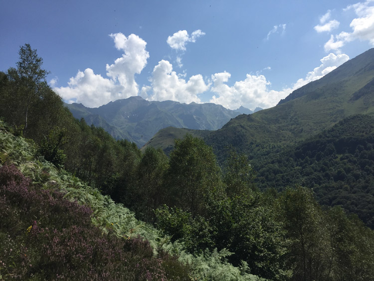
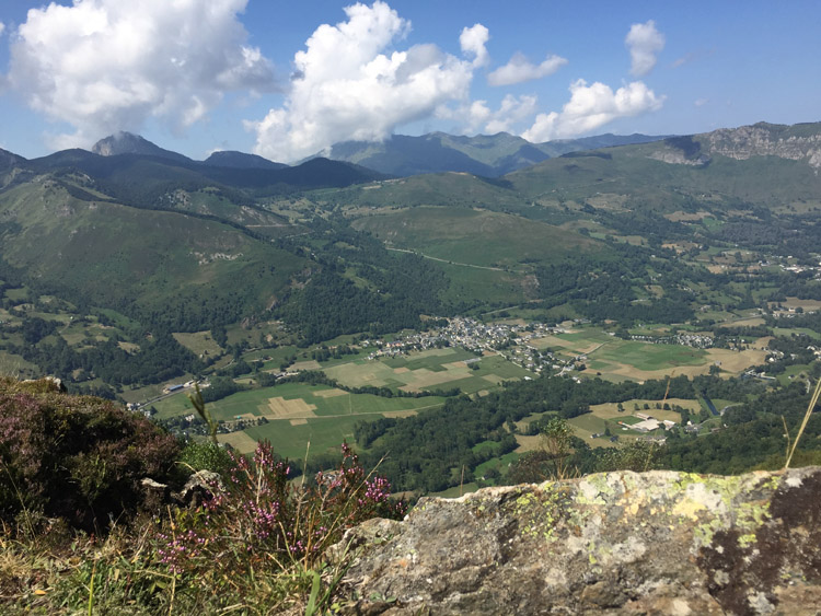
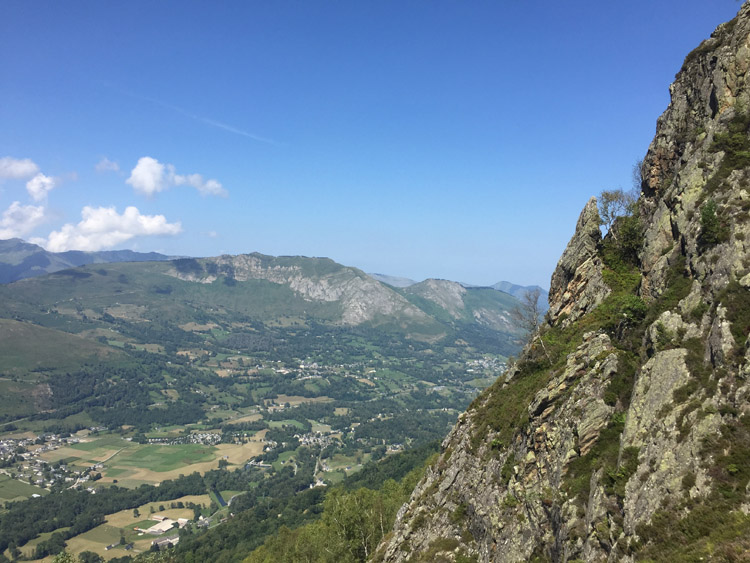
Lourdes is an important pilgrimage site and felt very busy compared to Pau. Once I had reached the hotel, I headed for the funicular railway at the other end of the town to ascend towards the summit of Pic du Jer. There was a steep railway journey then a brief walk up to the summit with panoramic views of the neighbouring mountains in the Central Pyrénées, as well as the town below.
Distance: 28 miles
Maximum temperature: 27 degrees C
Pau
Pau
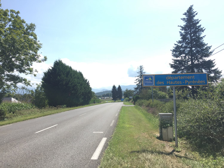
Hautes-Pyrénées
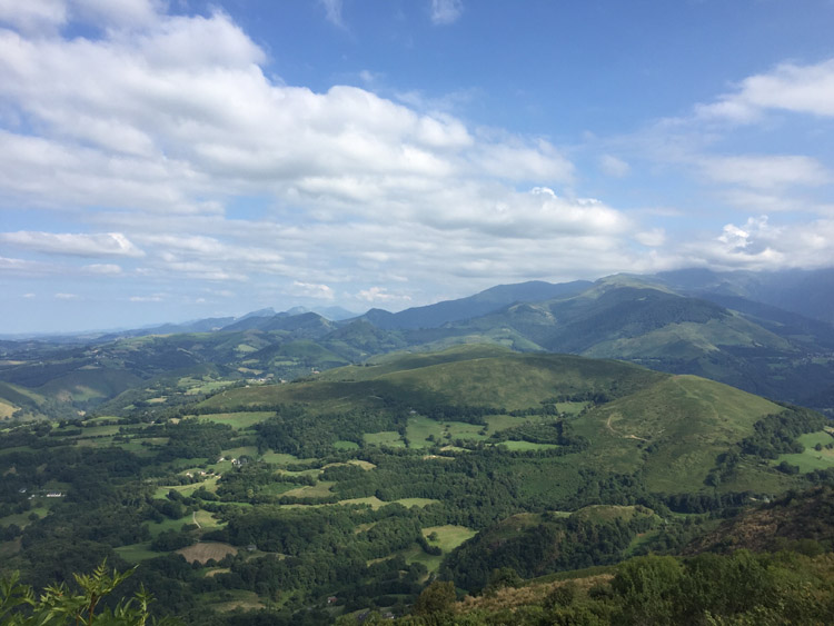
View from the summit of Pic du Jer