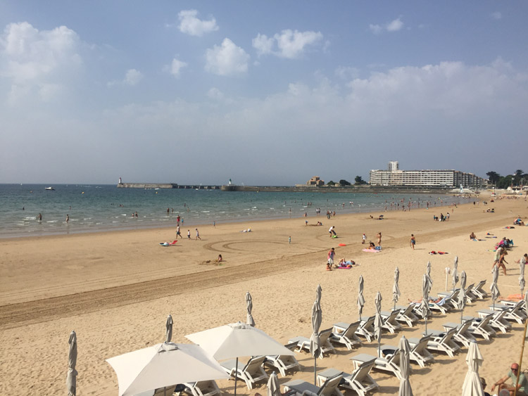
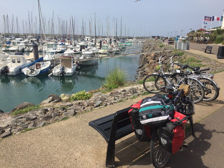
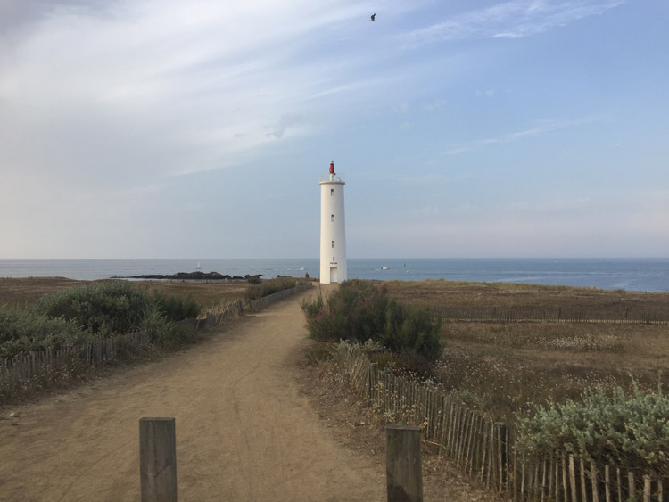
Decided to set off from the campsite at sunrise and headed straight down the coast. The scenery was quite varied, ranging from the small fishing ports and coastal inlets found near Les Moitiers-en-Retz, cycling along the top section of what appeared to be man-made levees built to prevent coastal flooding, through pine forests, and in the latter part of the day, going through built up beach resorts. Some seemed to stretch for miles along the beach.
Initially I had planned to take the cycle route over to Île de Noirmoutier and then continue further south back to the mainland along the other bridge. It wasn’t until I reached the most northerly crossing point that I discovered that this causeway flooded at high tide, and was actually impassable at the point I arrived, as it was fully submerged. Warning signs were present just before the causeway. This presented a good opportunity to have a crepe and consider what type of detour would be needed. The area was quite low lying and flat at this point, but later in the day, through the pine forests, the terrain had more hills.
Considering I hadn’t made a booking and some of the campsite receptions seemed to close fairly early, I started seeing what accommodation was available and there was a good selection on the route that I was on. Eventually after making some enquiries I found a campsite near the beach, on the outskirts of the town of Saint-Hilaire-de-Riez. After locating exactly where to pitch the tent, which turned out to be in a pine forest, and pitching it, had a very refreshing swim in the sea.
Distance: 45 miles
Maximum temperature: 32 degrees C
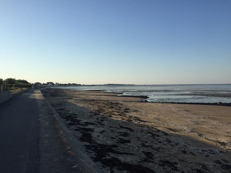
The beach at Les Moitiers-en-Retz at sunrise
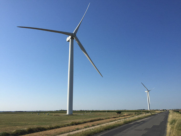
Coastal wind turbines
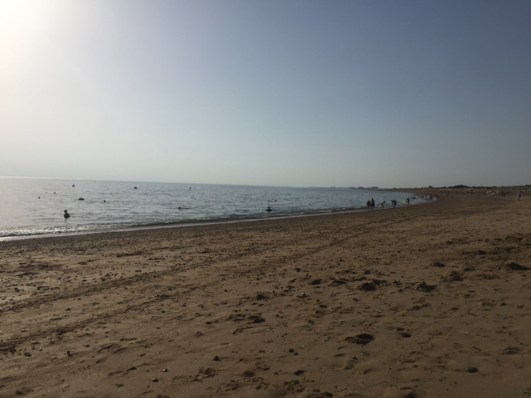
Beach at Saint-Hilaire-de-Riez
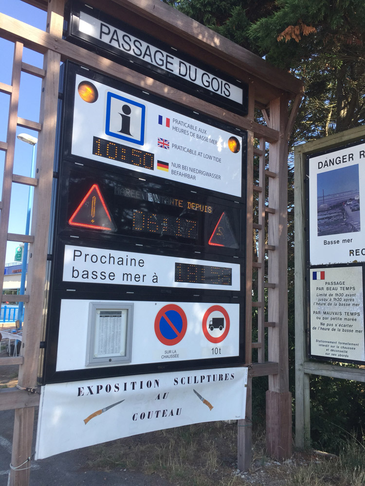
Sign at the Passage du Gois causeway to Île de Noirmoutier

