There wasn’t a definite destination planned when I set off from Las Negras, I just decided to head in the direction of Los Escullos then San José, and perhaps further south west.
Still within the Cabo de Gata national park, Los Escullos was a small village with a few hotels and restaurants alongside the long beach.
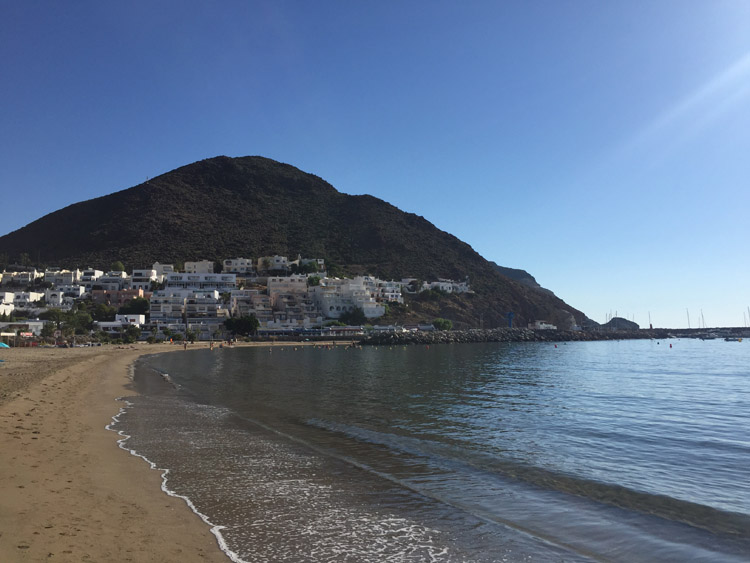
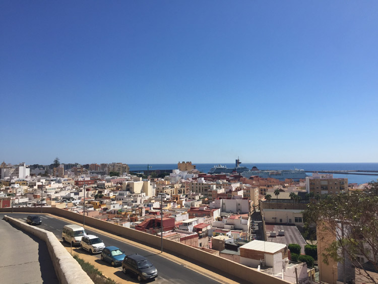
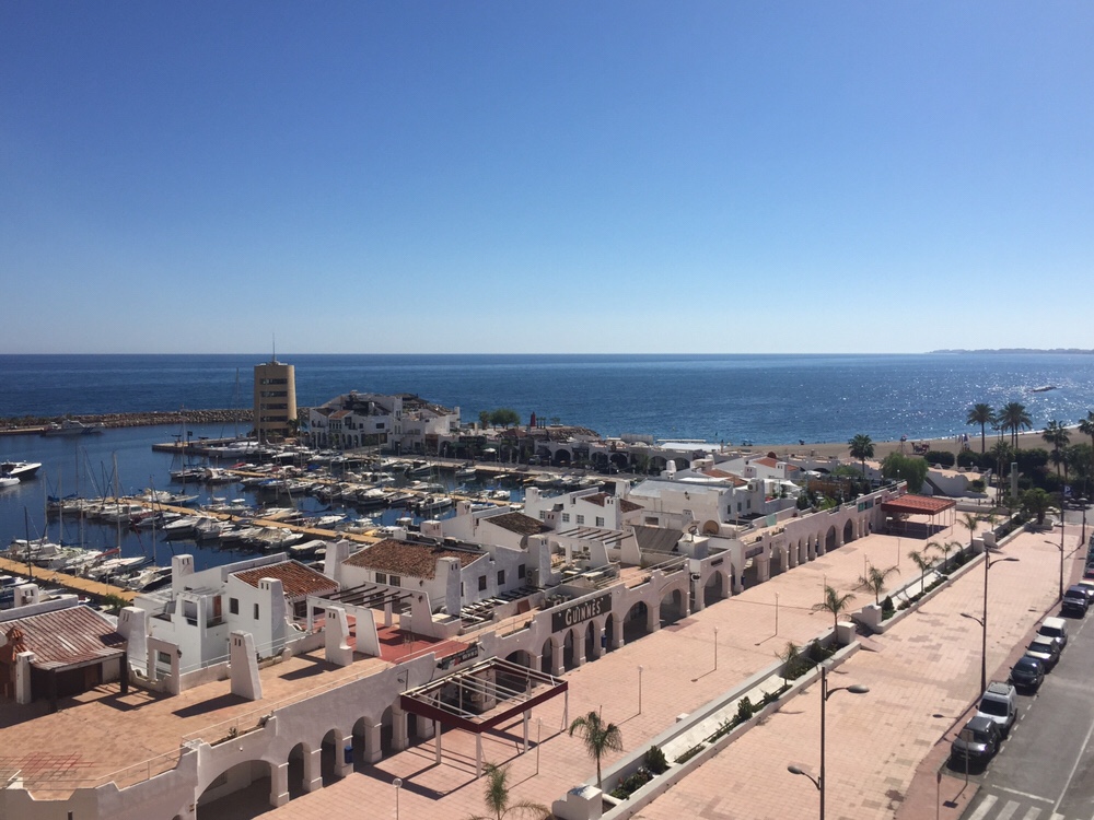
It wasn’t much further to San José, the largest town in the national park. With it’s white buildings, harbour area and pleasant beach it was instantly likeable and I decided to stop for the lunch there, and booked a room for the evening. Architecturally it was amongst the most stylish of the towns that I had visited in Spain. Perhaps owing to the dry climate, cacti weren’t just a feature of the natural landscape, some residents also grew several varieties in their gardens.
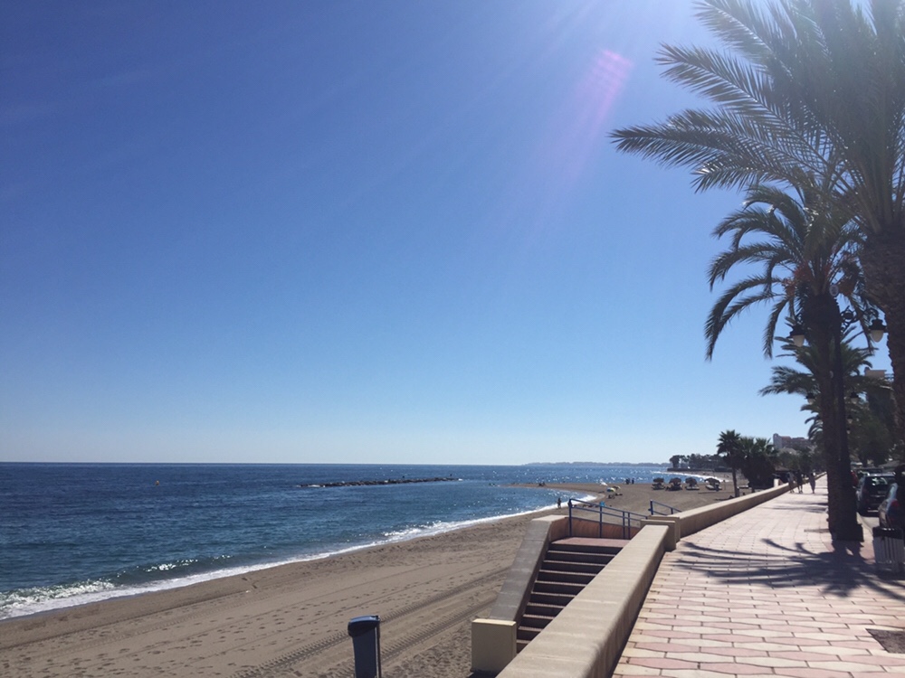
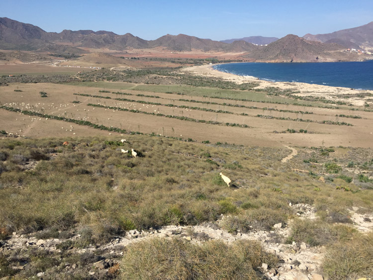
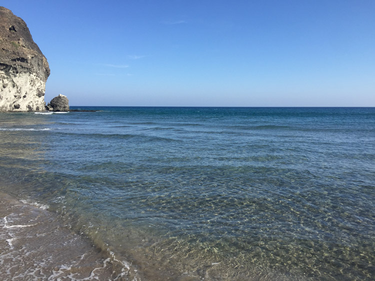
The main beach in the town was nice but busy so I walked firstly to Playa de los Genoveses then to a small beach further along the coast only accessible by walking down a steep rocky path or by boat. It was much quieter than the other beaches and had nice clear water which made swimming there very enjoyable.
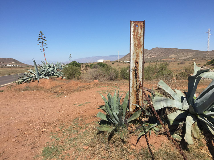
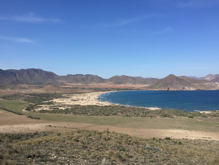
Walking back I noticed that the features of the terrain of the national park such as the rugged hills, volcanic looking rocks and the various plant species were quite unique and unlike any other region that I’d visited.
Distance: 14 miles
Maximum temperature: 30 degrees C
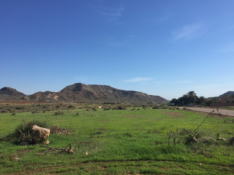
Cabo de Gata National Park
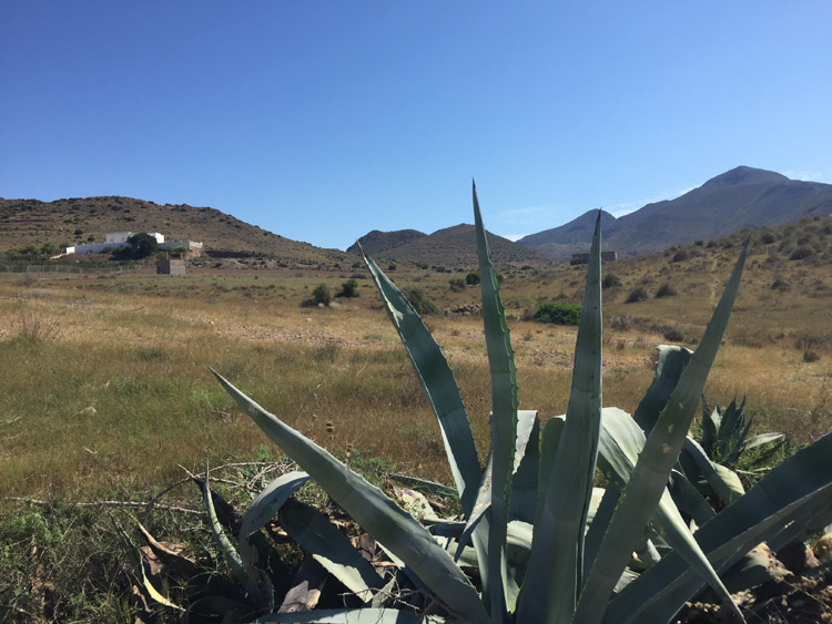
Cabo de Gata National Park
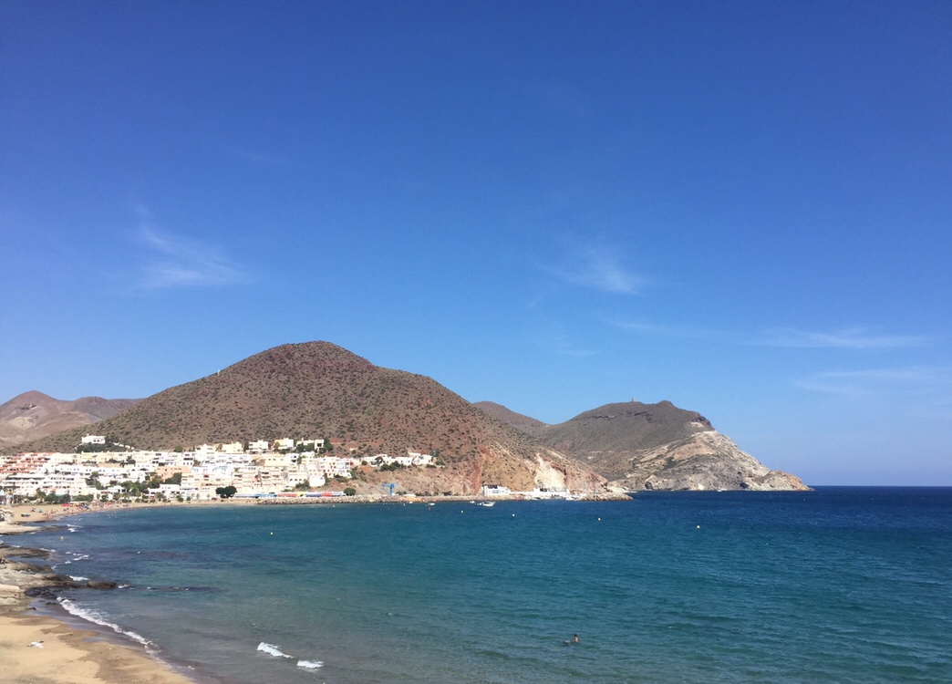
San José
Cabo de Gata National Park
Cabo de Gata National Park
Playa de Los Genoveses